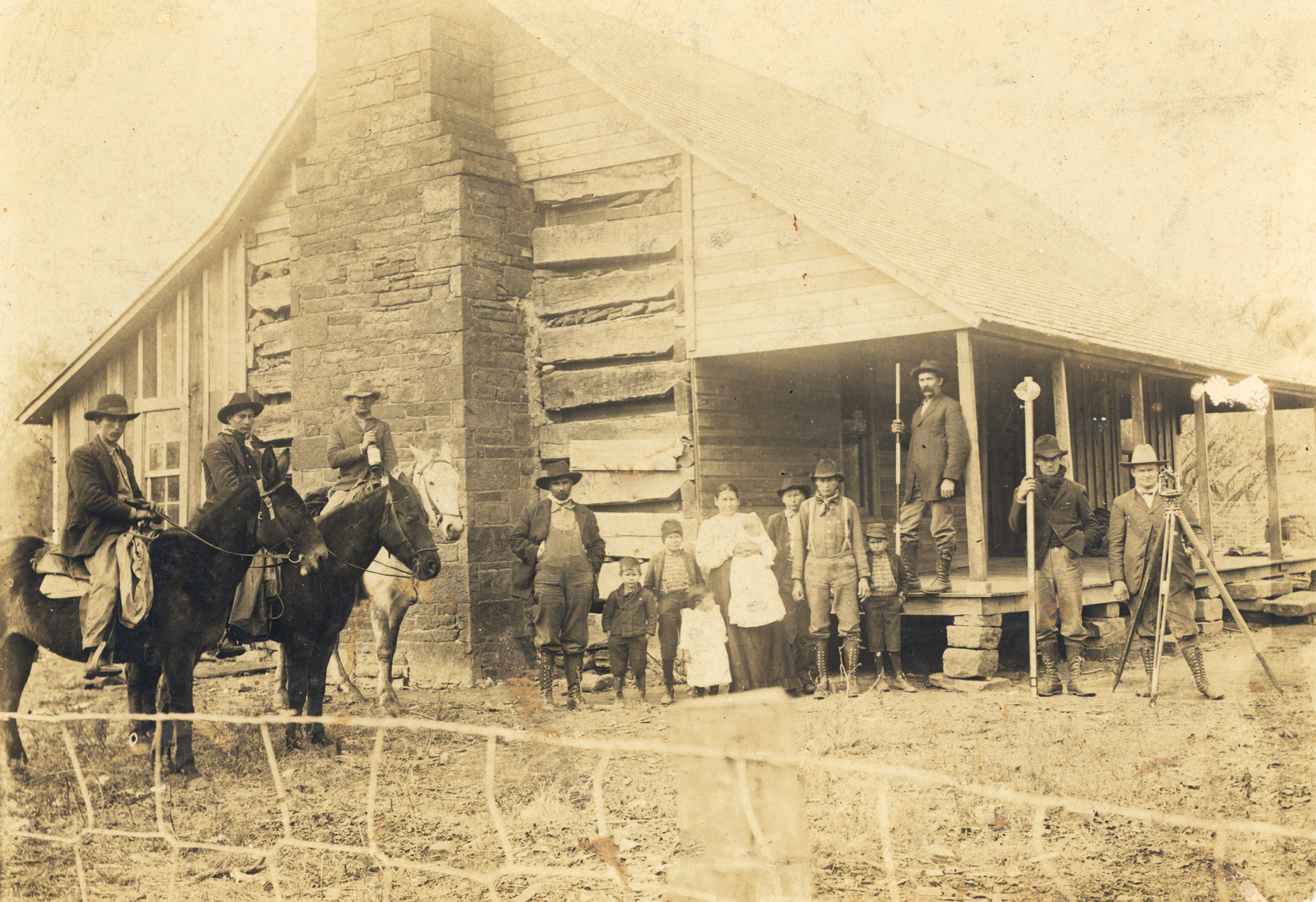
D. C. Harrison's USGS surveying party in the Cookson Hills
(8088, J. B. Moore Collection, OHS).
COOKSON HILLS.
The Cookson Hills of east-central Oklahoma are the southernmost extension of the Boston Mountains, part of the southern extension of the Ozark Plateau. The hills' elevations can vary by one thousand feet but range up to 1500 feet above sea level. The Illinois River, the major water system in the area, flows southwest through the northwest corner of the range. Due to an average yearly precipitation of 43.36 inches, scrubby oak trees, and small patches of walnut and hickory trees are the dominant vegetation. The entire region is covered by thick timber.
Economic activity in the Cookson Hills has revolved around limited agriculture. Cattle ranching is prevalent but is limited by sparse availability of grasses. Farming has never been successful in the area, although some subsistence farming historically occurred. Because of the numerous streams flowing through the hills, fishing became a very popular activity. In the twentieth century tourism became a fast-growing industry, with Greenleaf Lake, Lake Tenkiller, and several state parks providing recreation opportunities.
The Cookson Hills are rich in American Indian history. This geographical feature is located in southeastern Cherokee County, the name of the county indicating the group that historically controlled the area. The Cookson Hills were once included in the Cherokee Nation's Tahlequah District. In the twentieth century the hills were also the home of the notorious, Depression-era bank robber Charles Arthur "Pretty Boy" Floyd.
Bibliography
C. Paul Brauer, Geology of the Cookson Hills Area, Cherokee County Oklahoma (Oklahoma City: Oklahoma City Geological Society, 1953).
Kenneth S. Johnson, "Mountains, Streams, and Lakes of Oklahoma," Oklahoma Geological Survey Informational Series No. 1 (Norman: Oklahoma Geological Survey, 1998).
Kenneth S. Johnson et al., Geology and Earth Resources of Oklahoma: An Atlas of Maps and Cross Sections (Norman: Oklahoma Geological Survey, 1972).
John W. Morris, Oklahoma Geography (Oklahoma City-Chattanooga: Harlow Publishing Corporation, 1954).
John W. Morris, Charles R. Goins, and Edwin C. McReynolds, Historical Atlas of Oklahoma (3d ed.; Norman: University of Oklahoma Press, 1986).
Citation
The following (as per The Chicago Manual of Style, 17th edition) is the preferred citation for articles:
Kevin J. Ware and Richard A. Marston, “Cookson Hills,” The Encyclopedia of Oklahoma History and Culture, https://www.okhistory.org/publications/enc/entry?entry=CO048.
Published January 15, 2010
© Oklahoma Historical Society