
Home | About OHS | Historical Marker Program
Location: four miles south of OK-7 bridge on Clear Boggy River in Boggy Depot State Park
Topics: Transportation
In 1857, Congress created the Butterfield Overland Mail Route to carry mail and passengers between St. Louis, Missouri, and Memphis, Tennessee, and points west. It was the first real transcontinental link between the Atlantic states and the Pacific Coast of the United States. There were twelve stations along a 197-mile route in Oklahoma, including Boggy Station.
Location: Confederate Memorial Museum and Cemetery, Atoka
Sponsored by: The Lake Atoka Reservation Association, Oklahoma City Water Utilities Trust, City of Atoka, City of Oklahoma City
Topics: Transportation
On September 16, 1857, the John Butterfield Company received a federal contract to transport mail from Missouri to San Francisco in under 25 days. Semi-weekly trips began a year later.
Location: on US-69 at the Confederate Memorial Museum on the east side of Atoka
Topics: Military
The cemetery contains graves of Confederate soldiers who fought in the Civil War.
Location: in Atoka (OHBC)
Topics: Religion/Philosophy
This church is the oldest white Baptist church in Oklahoma with continuous service. It was organized May 6, 1869.
Material: Granite
Topics: Transportation
This site was the location of a stage stand of Butterfield Overland Mail Route, under Act of Congress, March 3, 1857. The first mail stage arrived here in September 1858, en route to San Francisco. Service continued until the outbreak of the War Between the States.
Location: on US-69 near bridge over Middle Boggy Creek
Material: Granite
Topics: Military
On this site lie Confederate soldiers who died in battle, February 13, 1864. The Confederate encampment here at Middle (or Muddy) Boggy Crossing on the Boggy Depot Road was held by Lieutenant Colonel John Jumper, Seminole Battalion. Captain Adam Nail's Company A of First Choctaw and Chickasaw Cavalry and a detachment of the Twentieth Texas Regiment was suddenly attacked by Federal forces; three companies of Fourteenth Kansas Cavalry with Major Charles Willetts in command and a section of howitzers under Captain Solomon Kaufman. The Confederates, though poorly armed, made a firm stand in a kat fight of thirty minutes in which forty-seven of their men were killed and others wounded. Word of Confederate forces riding in from Boggy Depot (1.2 miles southwest) caused a harried retreat of the Federal troops toward Fort Gibson north.
Location: at 2001 South Mississippi Avenue in Atoka
Material: Aluminum
St. Patrick's Church was built in 1872. Father Isidore Robot was the first resident priest and the first Prefect Apostolic of Indian Territory. Robot later founded Sacred Heart Mission in the Potawatomi lands east of present-day Asher.
Location: on west side of Boggy Depot State Park
Material: Aluminum
Topics: Transportation
Boggy Depot was a stop on the Butterfield Overland Mail Route. See Boggy Station.
Location: 1/2 mile north of southern entrance to Stringtown on Hwy 69
Sponsored by: Gwin Walker
Topics: Law and Order
Near this place on August 5, 1932, Atoka County Sheriff C.G. Maxwell and Deputy Sheriff Eugene Moore were involved in a shoot-out with Clyde Barrow, Raymond Hamilton, Everett Milligan, and James Acker. (Although not known at the time, Bonnie Parker was also present.) The incident occurred when the two lawmen tried to arrest the men at a dance in Stringtown. As the lawmen approached, the foursome opened fire, killing Moore instantly and severely wounding Maxwell.
Location: on county road three miles west of Wesley
Material: Granite
Topics: Transportation
Waddell's Station was a stop on the Butterfield Overland Mail Route. See Boggy Station.
Le Flore County
Lincoln County
Logan County
Love County
Marshall County
Mayes County
McClain County
McCurtain County
McIntosh County
Murray County
Muskogee County
Noble County
Okfuskee County
Oklahoma County
Okmulgee County
Osage County
Ottawa County
Pawnee County
Payne County
Pittsburg County
Pontotoc County
Pottawatomie County
Pushmataha County
Roger Mills County
Rogers County
Seminole County
Sequoyah County
Stephens County
Texas County
Tillman County
Tulsa County
Wagoner County
Washington County
Washita County
Woods County
Woodward County
Historical Marker Program
Search Results
Your search returned 10 results.
Boggy Station
Atoka CountyLocation: four miles south of OK-7 bridge on Clear Boggy River in Boggy Depot State Park
Topics: Transportation
In 1857, Congress created the Butterfield Overland Mail Route to carry mail and passengers between St. Louis, Missouri, and Memphis, Tennessee, and points west. It was the first real transcontinental link between the Atlantic states and the Pacific Coast of the United States. There were twelve stations along a 197-mile route in Oklahoma, including Boggy Station.
Butterfield Trail
Atoka CountyLocation: Confederate Memorial Museum and Cemetery, Atoka
Sponsored by: The Lake Atoka Reservation Association, Oklahoma City Water Utilities Trust, City of Atoka, City of Oklahoma City
Topics: Transportation
On September 16, 1857, the John Butterfield Company received a federal contract to transport mail from Missouri to San Francisco in under 25 days. Semi-weekly trips began a year later.
Confederate Cemetery
Atoka CountyLocation: on US-69 at the Confederate Memorial Museum on the east side of Atoka
Topics: Military
The cemetery contains graves of Confederate soldiers who fought in the Civil War.
First Baptist Church
Atoka CountyLocation: in Atoka (OHBC)
Topics: Religion/Philosophy
This church is the oldest white Baptist church in Oklahoma with continuous service. It was organized May 6, 1869.
Geary's Station
Atoka CountyMaterial: Granite
Topics: Transportation
This site was the location of a stage stand of Butterfield Overland Mail Route, under Act of Congress, March 3, 1857. The first mail stage arrived here in September 1858, en route to San Francisco. Service continued until the outbreak of the War Between the States.
Middle Boggy Battle Site
Atoka CountyLocation: on US-69 near bridge over Middle Boggy Creek
Material: Granite
Topics: Military
On this site lie Confederate soldiers who died in battle, February 13, 1864. The Confederate encampment here at Middle (or Muddy) Boggy Crossing on the Boggy Depot Road was held by Lieutenant Colonel John Jumper, Seminole Battalion. Captain Adam Nail's Company A of First Choctaw and Chickasaw Cavalry and a detachment of the Twentieth Texas Regiment was suddenly attacked by Federal forces; three companies of Fourteenth Kansas Cavalry with Major Charles Willetts in command and a section of howitzers under Captain Solomon Kaufman. The Confederates, though poorly armed, made a firm stand in a kat fight of thirty minutes in which forty-seven of their men were killed and others wounded. Word of Confederate forces riding in from Boggy Depot (1.2 miles southwest) caused a harried retreat of the Federal troops toward Fort Gibson north.
Oklahoma's First Catholic Church
Atoka CountyLocation: at 2001 South Mississippi Avenue in Atoka
Material: Aluminum
St. Patrick's Church was built in 1872. Father Isidore Robot was the first resident priest and the first Prefect Apostolic of Indian Territory. Robot later founded Sacred Heart Mission in the Potawatomi lands east of present-day Asher.
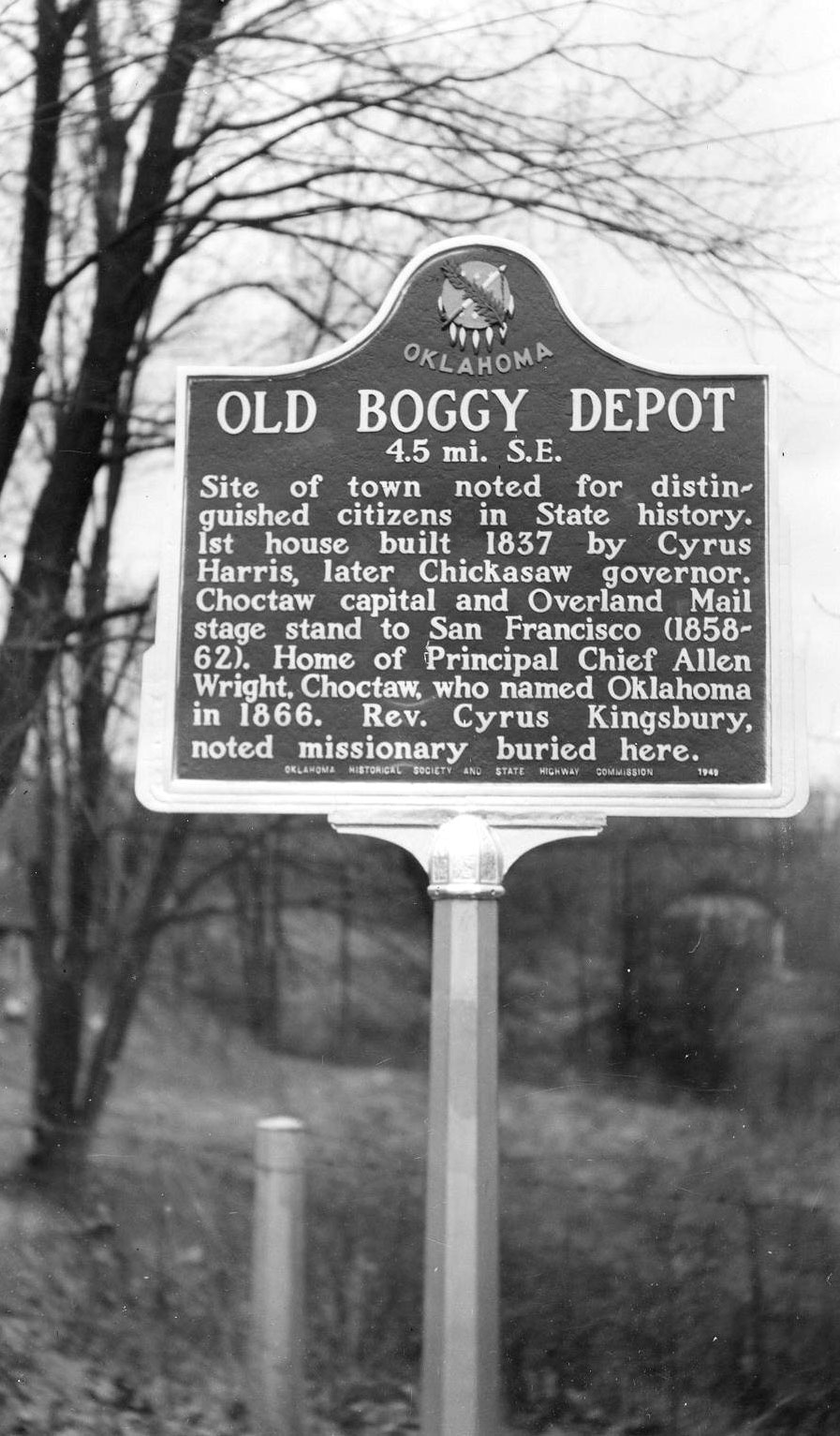
Old Boggy Depot
Atoka CountyLocation: on west side of Boggy Depot State Park
Material: Aluminum
Topics: Transportation
Boggy Depot was a stop on the Butterfield Overland Mail Route. See Boggy Station.
Stringtown Shoot-Out
Atoka CountyLocation: 1/2 mile north of southern entrance to Stringtown on Hwy 69
Sponsored by: Gwin Walker
Topics: Law and Order
Near this place on August 5, 1932, Atoka County Sheriff C.G. Maxwell and Deputy Sheriff Eugene Moore were involved in a shoot-out with Clyde Barrow, Raymond Hamilton, Everett Milligan, and James Acker. (Although not known at the time, Bonnie Parker was also present.) The incident occurred when the two lawmen tried to arrest the men at a dance in Stringtown. As the lawmen approached, the foursome opened fire, killing Moore instantly and severely wounding Maxwell.
Waddell's Station
Atoka CountyLocation: on county road three miles west of Wesley
Material: Granite
Topics: Transportation
Waddell's Station was a stop on the Butterfield Overland Mail Route. See Boggy Station.
(Page 1 of 1)
Search for Markers
Search by keyword or browse by county to learn about more than 600 historical markers created to recognize key locations, events, and people in Oklahoma history.
Please note that some markers listed in this database may have been moved, damaged, or are no longer standing.
Browse by County
Adair County
Alfalfa County
Atoka County
Beaver County
Beckham County
Blaine County
Bryan County
Caddo County
Canadian County
Carter County
Cherokee County
Choctaw County
Cimarron County
Cleveland County
Comanche County
Cotton County
Craig County
Creek County
Custer County
Delaware County
Dewey County
Ellis County
Garfield County
Garvin County
Grady County
Grant County
Greer County
Harmon County
Harper County
Haskell County
Hughes County
Jackson County
Jefferson County
Johnston County
Kay County
Kingfisher County
Kiowa County
Latimer CountyAlfalfa County
Atoka County
Beaver County
Beckham County
Blaine County
Bryan County
Caddo County
Canadian County
Carter County
Cherokee County
Choctaw County
Cimarron County
Cleveland County
Comanche County
Cotton County
Craig County
Creek County
Custer County
Delaware County
Dewey County
Ellis County
Garfield County
Garvin County
Grady County
Grant County
Greer County
Harmon County
Harper County
Haskell County
Hughes County
Jackson County
Jefferson County
Johnston County
Kay County
Kingfisher County
Kiowa County
Le Flore County
Lincoln County
Logan County
Love County
Marshall County
Mayes County
McClain County
McCurtain County
McIntosh County
Murray County
Muskogee County
Noble County
Okfuskee County
Oklahoma County
Okmulgee County
Osage County
Ottawa County
Pawnee County
Payne County
Pittsburg County
Pontotoc County
Pottawatomie County
Pushmataha County
Roger Mills County
Rogers County
Seminole County
Sequoyah County
Stephens County
Texas County
Tillman County
Tulsa County
Wagoner County
Washington County
Washita County
Woods County
Woodward County
Contact Us
If you have questions, please contact:
Matthew Pearce
Oklahoma Historical Society
800 Nazih Zuhdi Drive
Oklahoma City, OK 73105
405-522-8659
matthew.pearce@history.ok.gov