
Search Moore’s Seminole Roll and Land Guide
Search
About Moore’s Seminole Roll and Land Guide
Moore’s Seminole Roll and Land Guide was published by J. Read Moore in 1915. This publication shows the location of land allotted to members of the Seminole Nation.
This database includes notations taken directly from the printed guide, which lists the names of allottees, their roll number, and if the allotment was the location of the homestead. Many individuals received allotments in more than one location. This database is a complement to the Dawes Rolls, which list individuals who were officially recognized as citizens of one of the Five Tribes.
Use the form above to search the index by name, or browse scans of Moore’s Seminole Roll and Land Guide.
The following abbreviations are used:
- F. Female
- M. Male
- H. Homestead
- S. Seminole by blood
- F. Freedman
- NBS. New Born Seminole
- NBF. New Born Freedman
- X. Deceased, before allotment
- Y. Deceased, after allotment
Muscogee (Creek) and Seminole Nation Tribal Boundaries
This map depicts tribal boundaries for the Muscogee (Creek) and Seminole Nations. Township/range survey lines are included as well as present-day county lines.
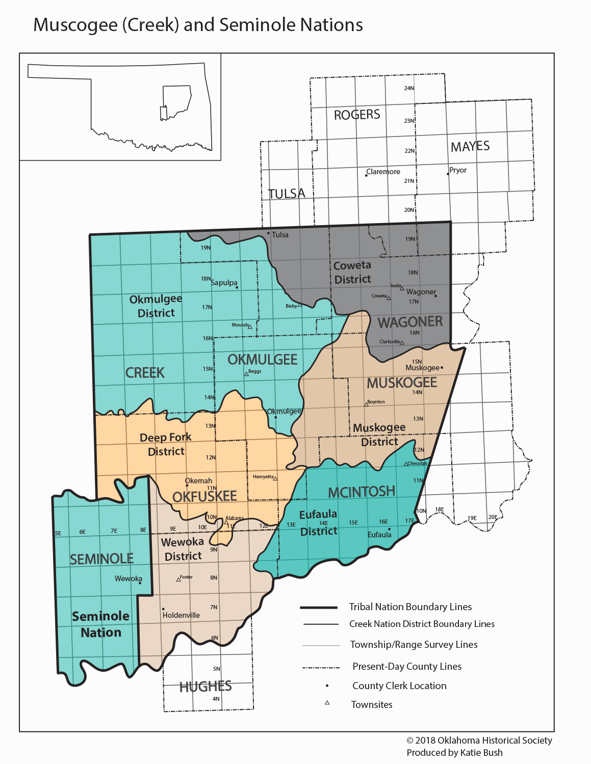
View a larger version of this map
