Historical Marker Program
Search Results
Your search returned 13 results.
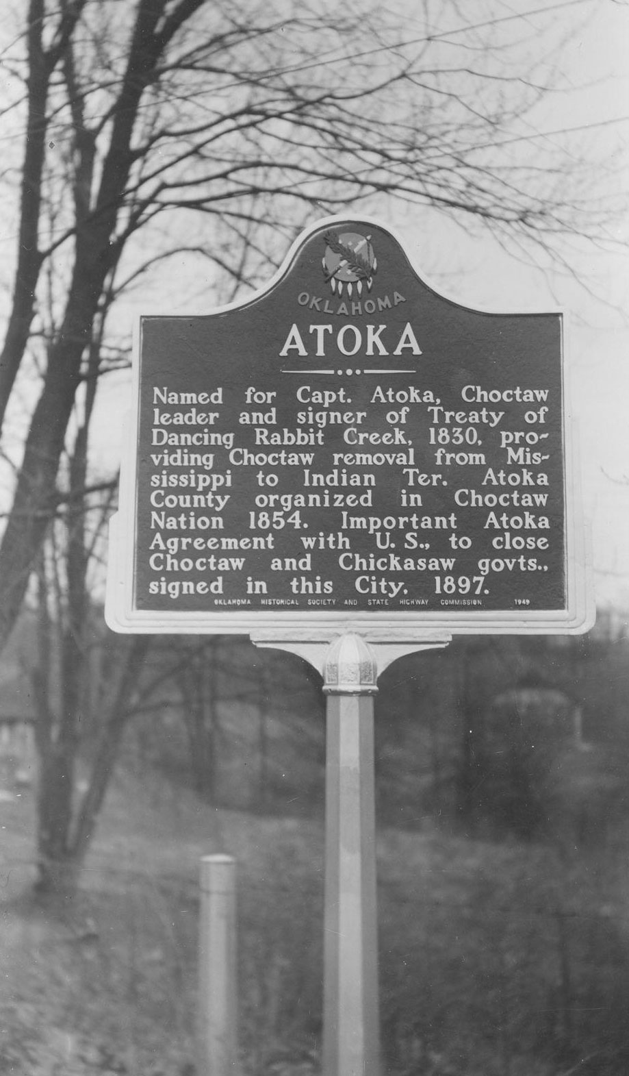
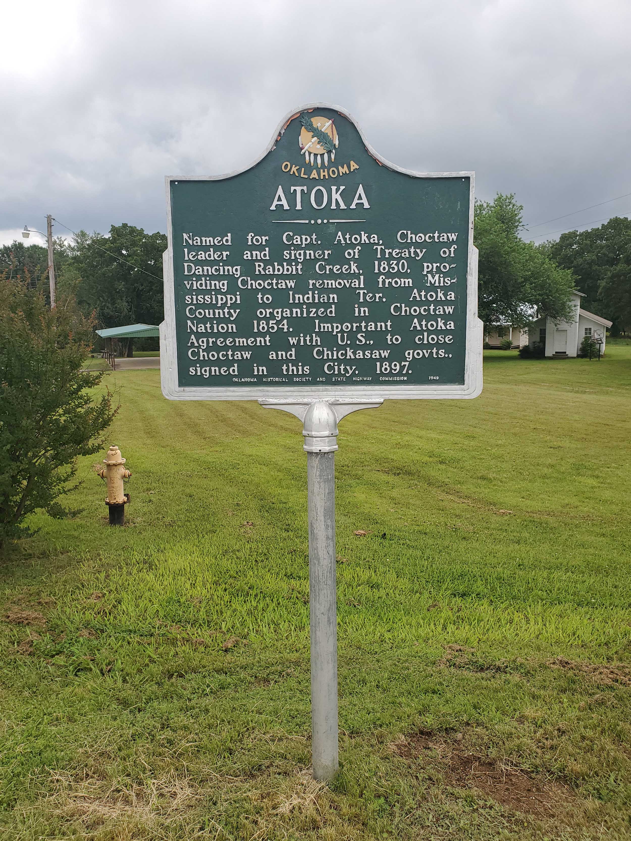
Atoka
Atoka CountyLocation: on grounds of Atoka Museum and Civil War Cemetery, Atoka
Coordinates: 34.399863, -96.117413
Material: Aluminum
Sponsor(s): Oklahoma Historical Society and the Oklahoma Department of Transportation
Topics: American Indians; Government; Territorial Period, 1861–1907; Westward Expansion, 1803–1861
Named for Captain Atoka, Choctaw leader and signer of Treaty of Dancing Rabbit (1830). Atoka County was organized in the Choctaw Nation in 1854. The Atoka Agreement, which provided for allotment of lands in the Choctaw and Chickasaw Nations, was signed in this city in 1897.
View image
View image
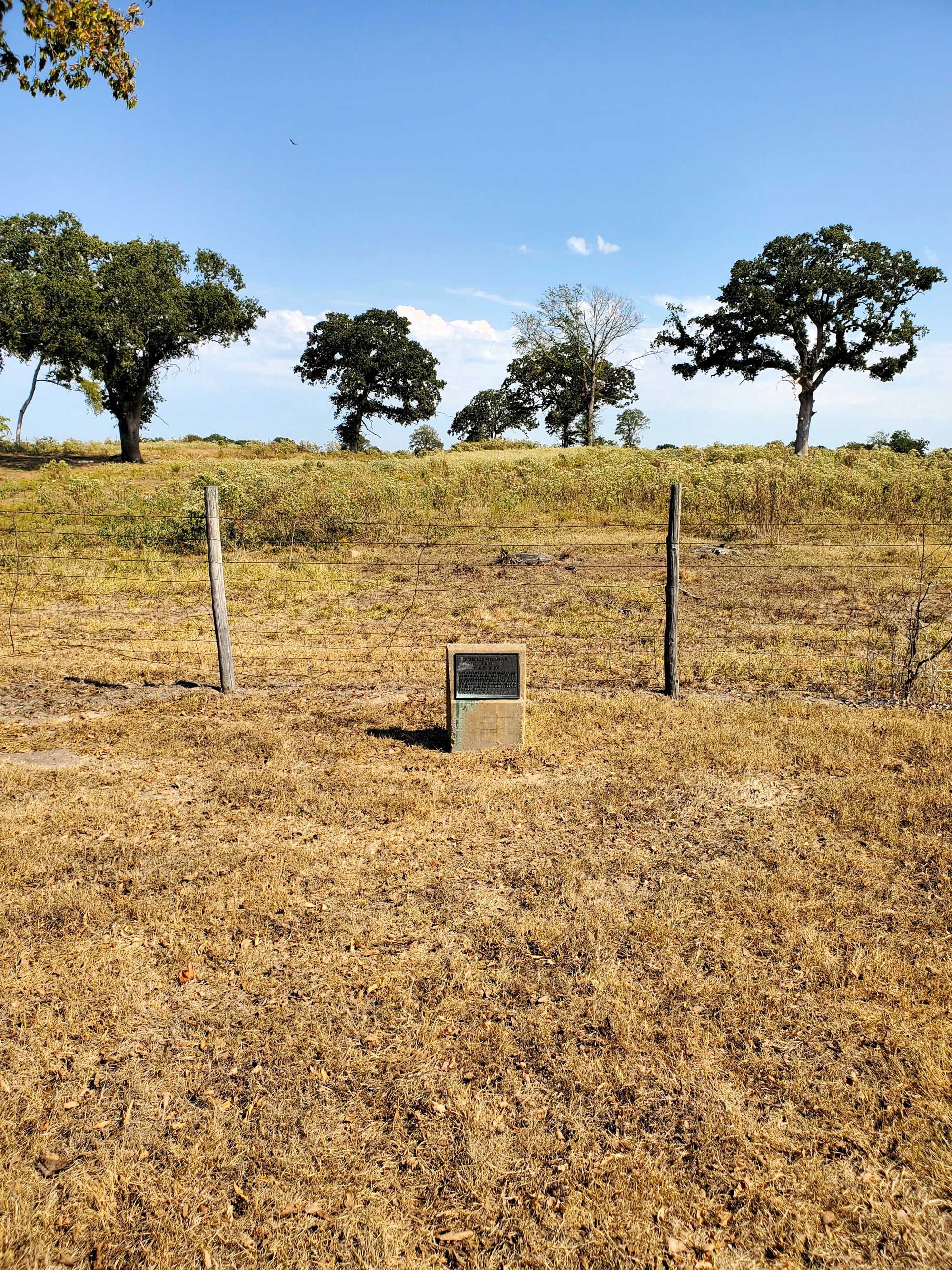
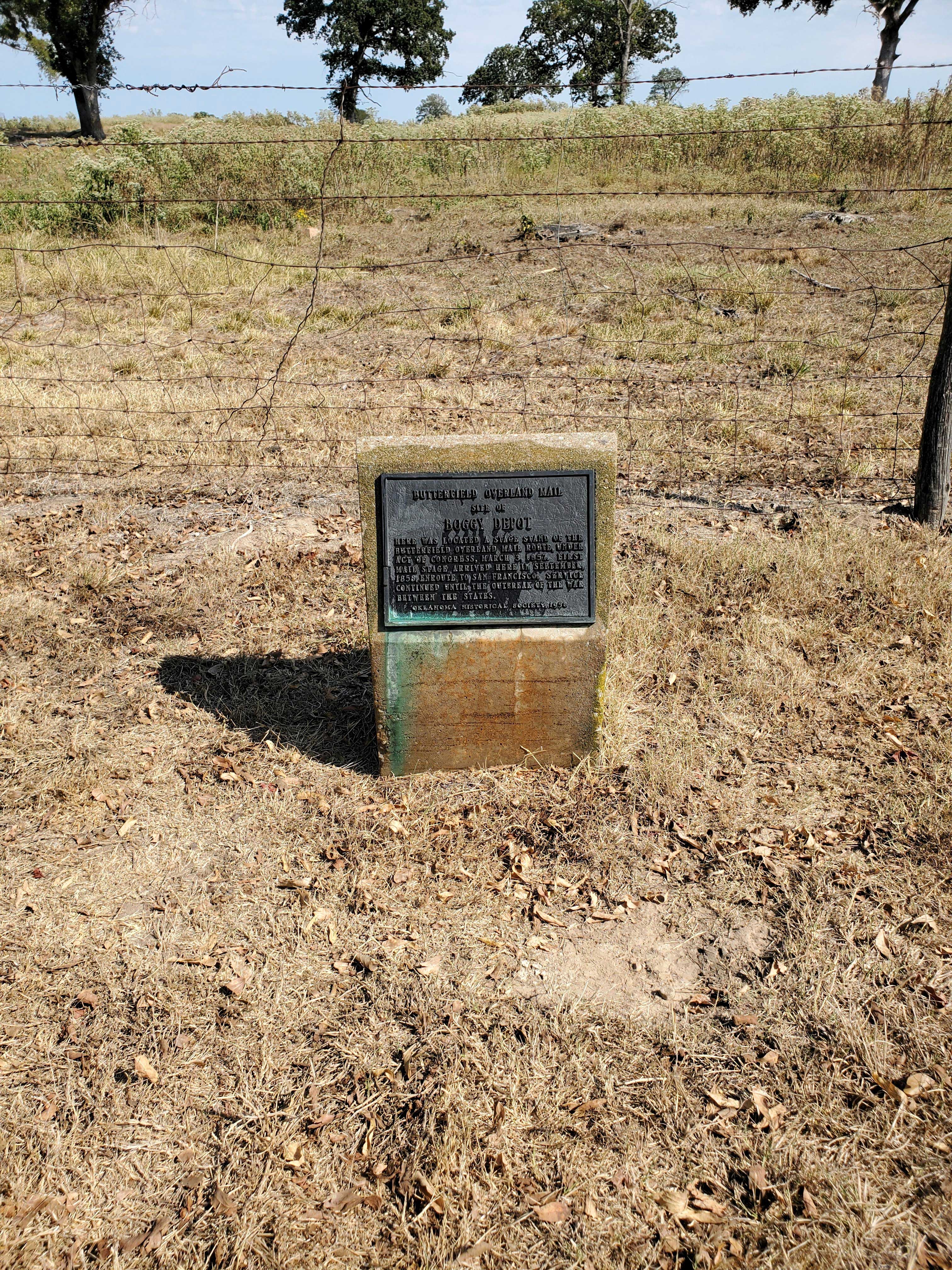
Boggy Depot (Butterfield Overland Mail)
Atoka CountyLocation: four miles south of OK-7 bridge on Clear Boggy River in Boggy Depot State Park
Coordinates: 34.319595, -96.307177
Material: Other (Concrete with bronze plaque)
Sponsor(s): Oklahoma Historical Society
Topics: Transportation; Westward Expansion, 1803–1861
In 1857, Congress created the Butterfield Overland Mail Route to carry mail and passengers between St. Louis, Missouri, and Memphis, Tennessee, and points west. It was the first real transcontinental link between the Atlantic states and the Pacific Coast of the United States. There were twelve stations along a 197-mile route in Oklahoma, including Boggy Depot. This marker commemorates the site of the Butterfield stage stop in Boggy Depot.
View image
View image
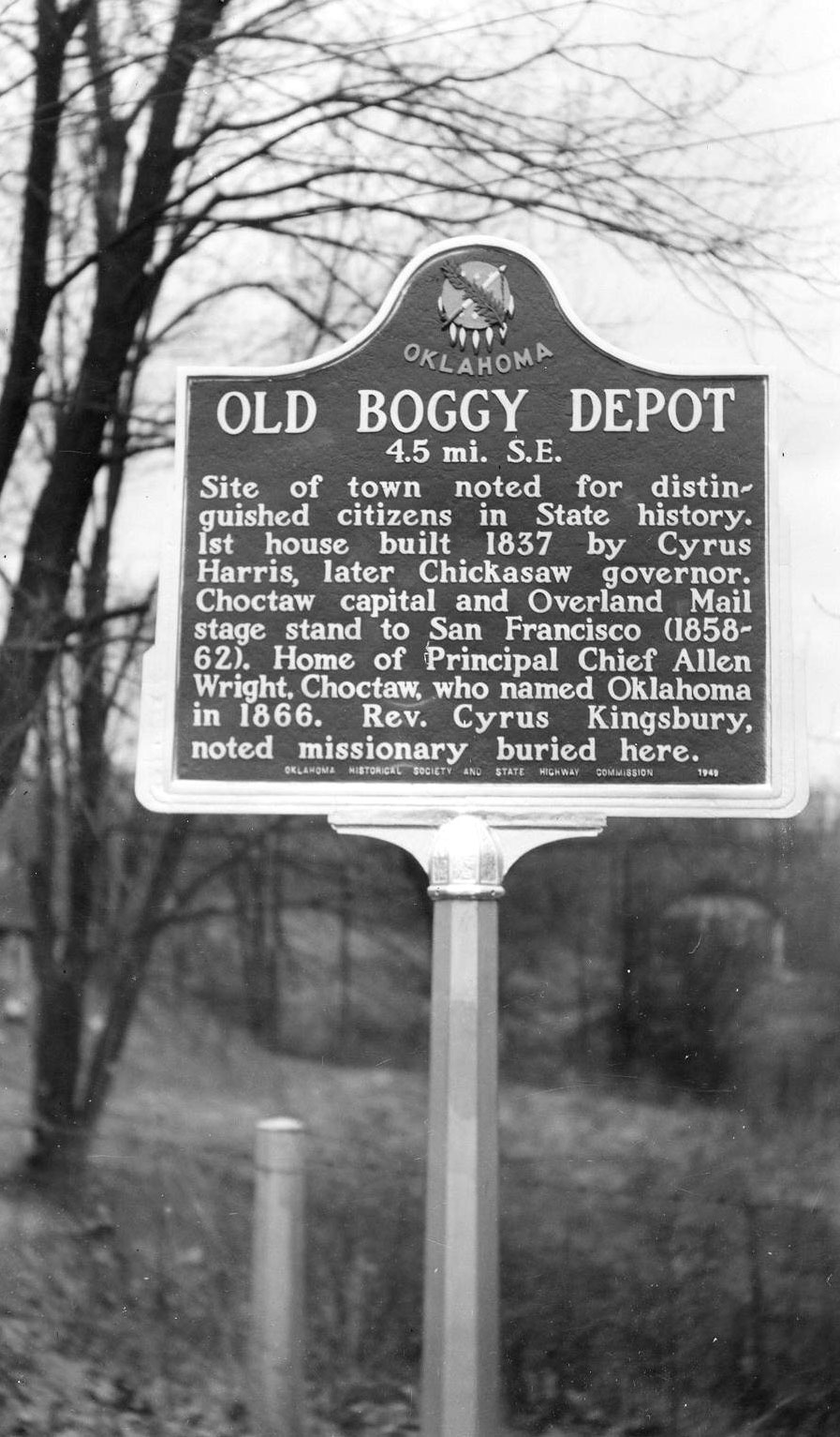
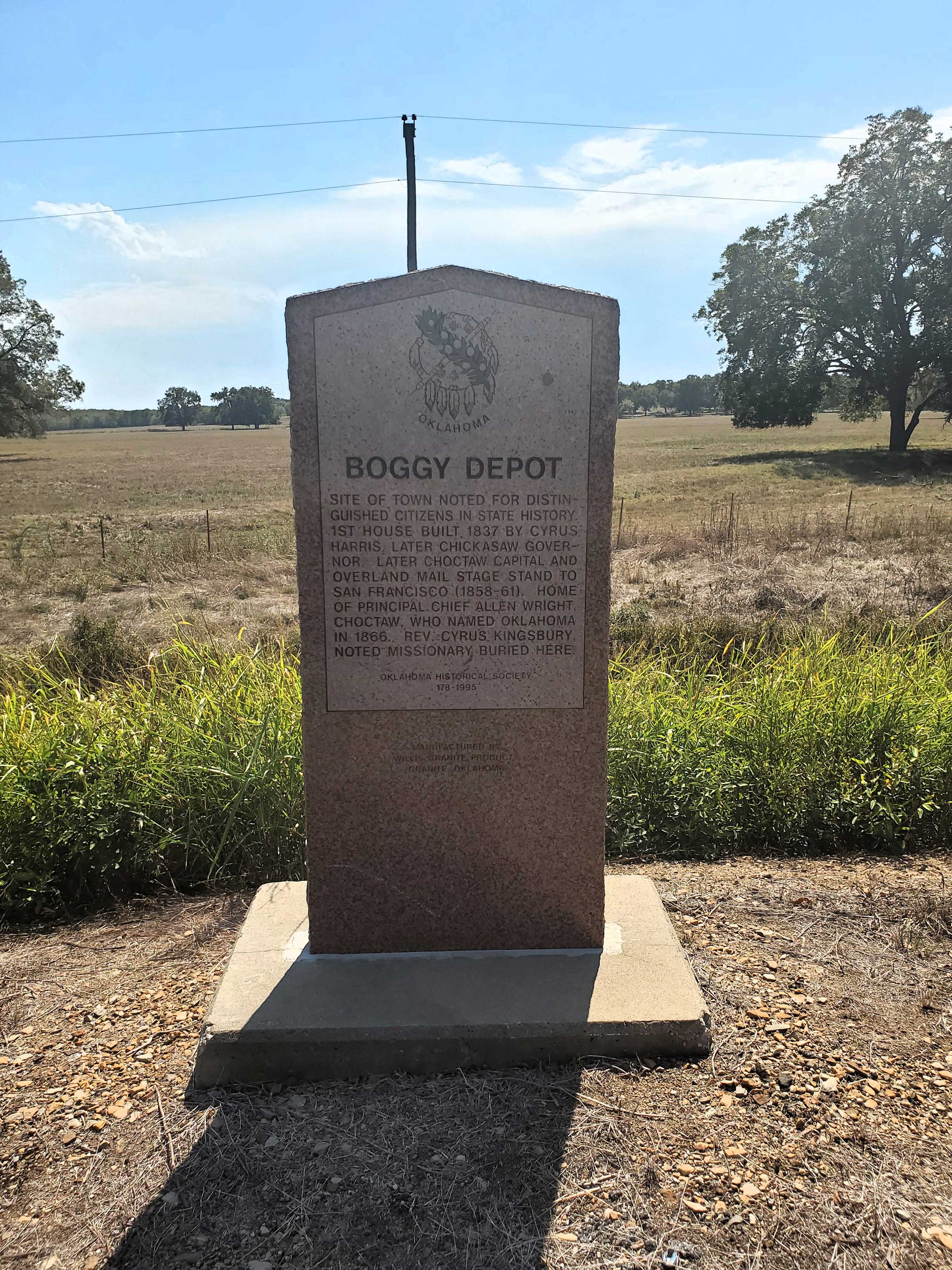
Boggy Depot (Old Boggy Depot)
Atoka CountyLocation: on OK-7 approximately 5 miles east of Wapanucka
Coordinates: 34.367578, -96.327843
Material: Granite
Sponsor(s): Oklahoma Historical Society and the Oklahoma Department of Transportation
Topics: American Indians; Government; Territorial Period, 1861–1907; Transportation; Westward Expansion, 1803–1861
Site of town noted for distinguished citizens in state history. First house built in 1837 by Cyrus Harris, later governor of Chickasaw Nation. Later capital of Choctaw Nation and site of an Overland Mail Stage stand to San Francisco (1858–61). Home of Principal Chief Allen Wright, Choctaw, who named Oklahoma in 1866. Rev. Cyrus Kingsbury, noted missionary, is buried here.
Note: This marker replaced a previous aluminum marker titled “Old Boggy Depot.”
View image
View image
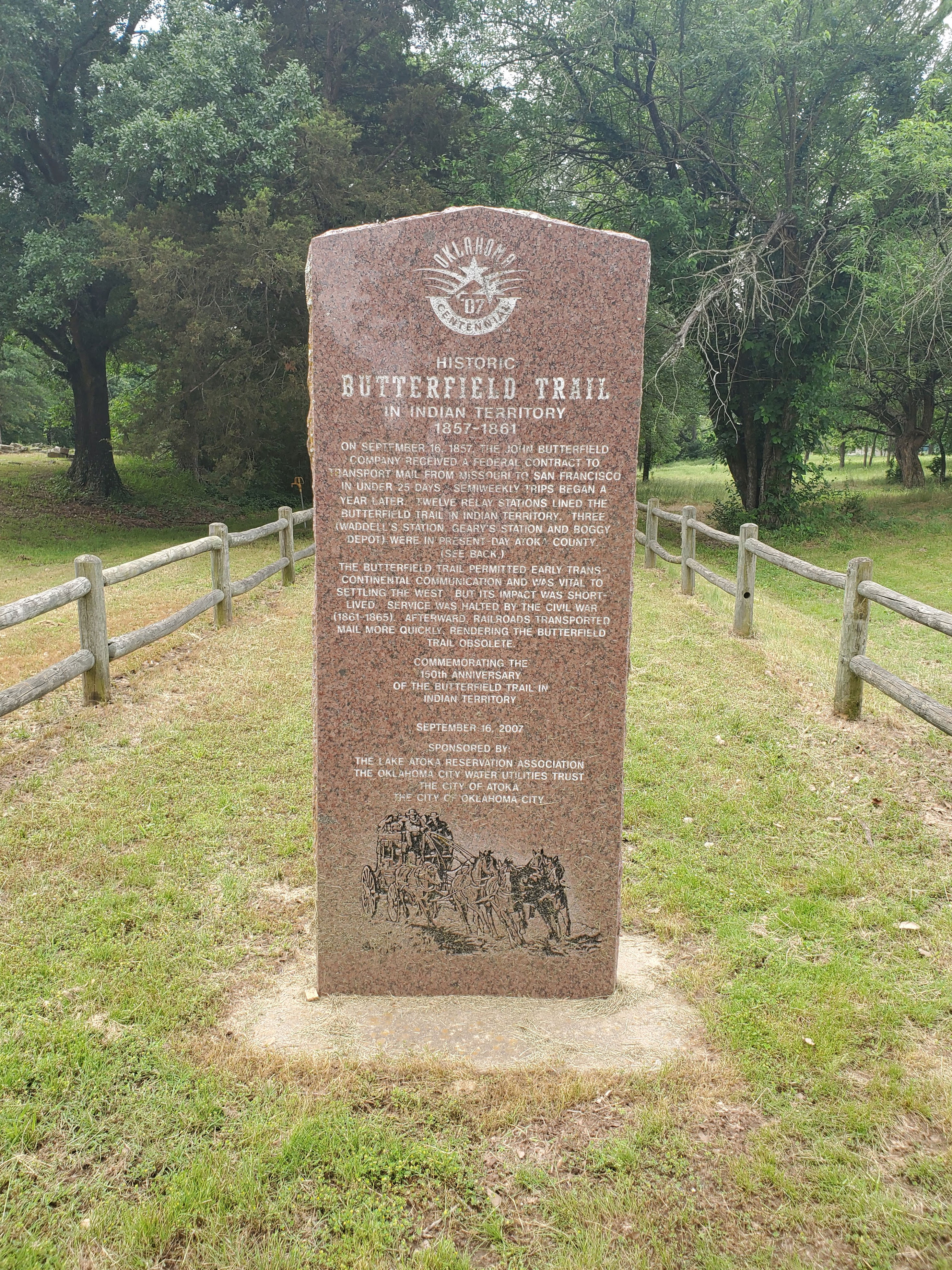
Butterfield Trail in Indian Territory
Atoka CountyLocation: on grounds of Atoka Museum and Civil War Cemetery, Atoka
Coordinates: 34.399071, -96.116760
Material: Granite
Sponsor(s): Lake Atoka Reservation Association, Oklahoma City Water Utilities Trust, City of Atoka, City of Oklahoma City
Topics: Transportation; Westward Expansion, 1803–1861
On September 16, 1857, the John Butterfield Company received a federal contract to transport mail from Missouri to San Francisco in under 25 days. Semi-weekly trips began a year later. Twelve relay stations lined the Butterfield Trail in Indian Territory. Three (Waddell’s Station, Geary’s Station and Boggy Depot) were in present-day Atoka County. The Butterfield Trail permitted early trans-continental communication and was vital to settling the West. But its impact was short-lived. Service was halted by the Civil War (1861–1865). Afterward, railroads transported mail more quickly, rendering the Butterfield Trail obsolete. Marker commemorates the 150th anniversary of the Butterfield Trail in Indian Territory.
View image
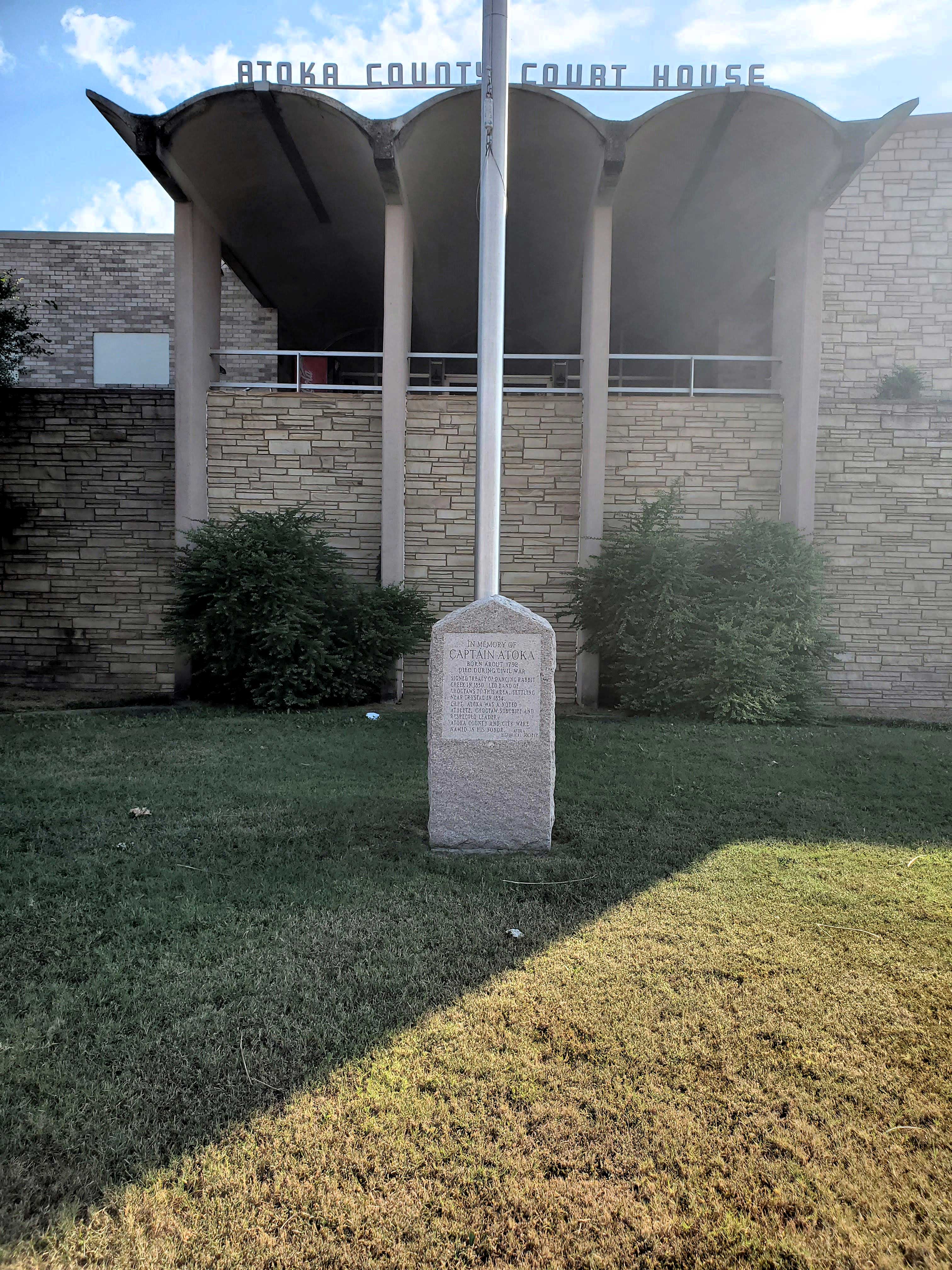
Captain Atoka
Atoka CountyLocation: on grounds of Atoka County Courthouse in Atoka
Coordinates: 34.385550, -96.126833
Material: Granite
Sponsor(s): Atoka Historical Society
Topics: American Indians; Government; Westward Expansion, 1803–1861
In memory of Captain Atoka. Born about 1792. Died during Civil War. Signed the Treaty of Dancing Rabbit Creek in 1830. Led band of Choctaws to this area, settling near Crystal in 1834. Captain Atoka was a noted athlete, Choctaw subchief and respected leader. Atoka County and the City of Atoka were named in his honor.
View image
Civil War Burial Site
Atoka CountyLocation: on grounds of Atoka Museum and Civil War Cemetery, Atoka
Coordinates: 34.399041, -96.116674
Sponsor(s): Oklahoma Historical Society
Topics: Military; Territorial Period, 1861–1907
During the Civil War, Confederate forces kept an outpost camp at a spring near the Middle Boggy River to guard the route to Boggy Depot. In the winter of 1862, measles swept through Colonel C. L. Dawson’s 19th Arkansas Infantry and forced the men to camp at the river. Those who died were buried in the cemetery near this marker’s location.
Note: This marker replaced the Middle Boggy Battle historical marker.

View image
First Baptist Church
Atoka CountyLocation: on corner of A Street and Mississippi Avenue in Atoka
Coordinates: 34.387140, -96.127517
Material: Unknown
Sponsor(s): Oklahoma Baptist Historical Commission
Topics: Religion/Philosophy; Territorial Period, 1861–1907
First Baptist Church of Atoka is the oldest white Baptist church in Oklahoma with continuous service. It was organized on May 6, 1869.
Note: This marker could not be located and is presumed to no longer exist.
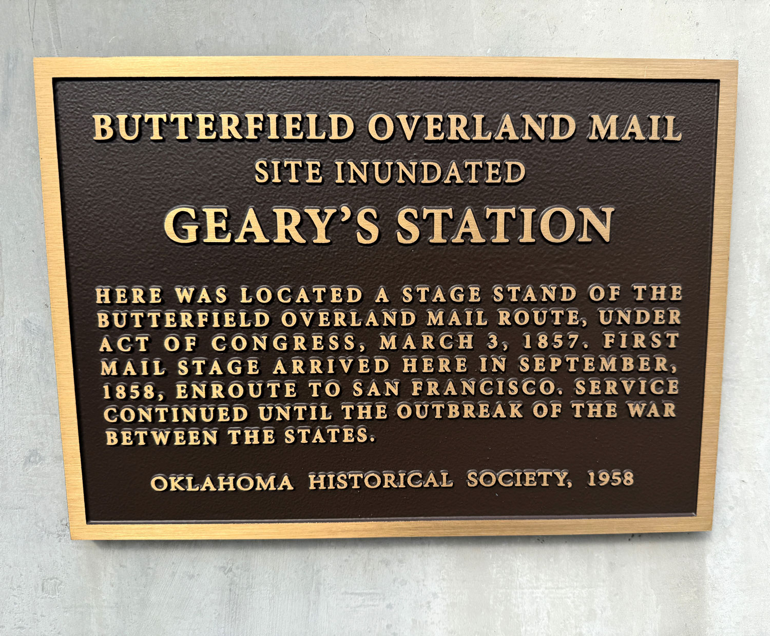
Geary’s Station
Atoka CountyLocation: embedded in the Lake Atoka Reservoir Dam, Atoka vicinity
Coordinates: 34.445784, -96.082630
Material: Other (Concrete with bronze plaque)
Sponsor(s): Oklahoma Historical Society
Topics: Transportation; Westward Expansion, 1803–1861
In 1857, Congress created the Butterfield Overland Mail Route to carry mail and passengers between St. Louis, Missouri, and Memphis, Tennessee, and points west. It was the first real transcontinental link between the Atlantic states and the Pacific Coast of the United States. There were twelve stations along a 197-mile route in Oklahoma. This marker commemorates Geary’s Station. The station site was inundated by the Lake Atoka Reservoir.

View image
View image
Middle Boggy Battle
Atoka CountyLocation: on grounds of Atoka Museum and Civil War Cemetery, Atoka
Coordinates: 34.399041, -96.116674
Material: Granite
Sponsor(s): Oklahoma Historical Society
Topics: Military; Territorial Period, 1861–1907
In February 1864, a Confederate encampment at the Middle Boggy River was suddenly attacked by a Union force under Maj. Charles Willets. The battle lasted only thirty minutes. Confederate reinforcements arrived on the battlefield to discover that their wounded had been executed.
Note: This marker has been replaced by the Civil War Burial Site marker.

View image
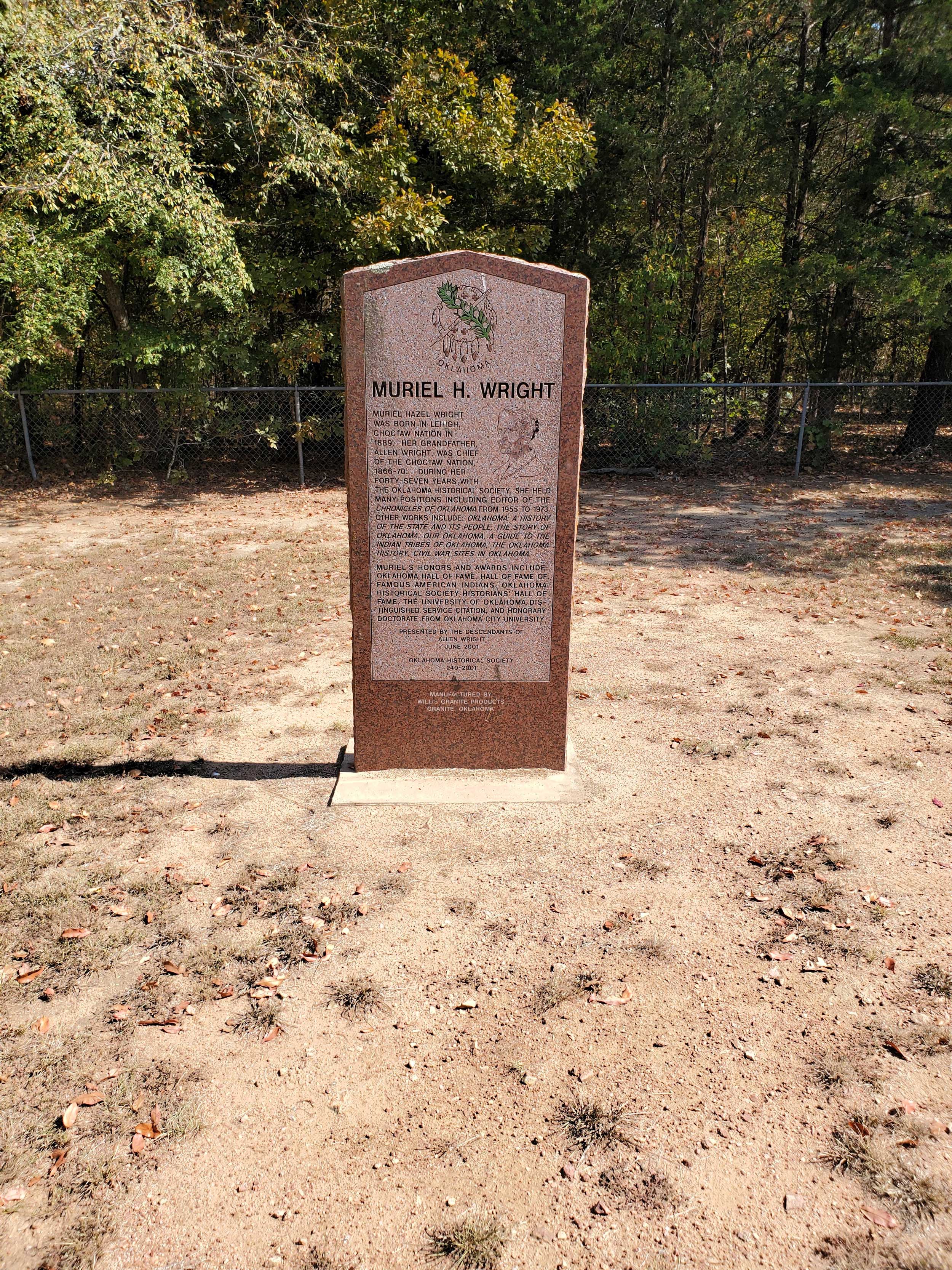
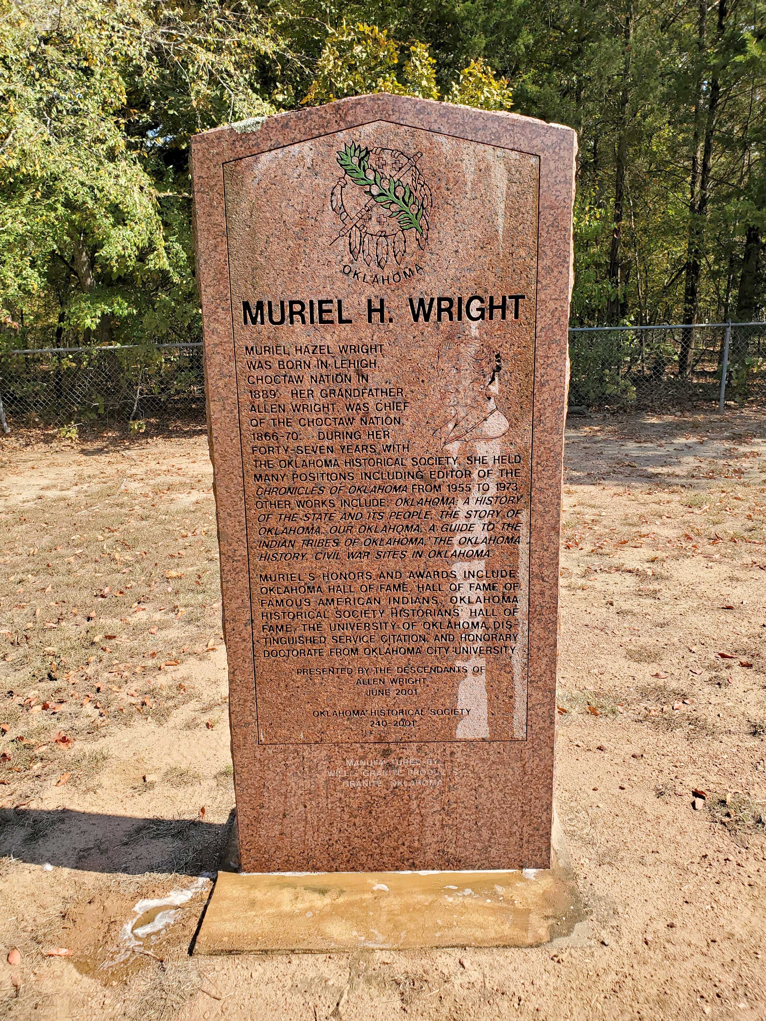
Muriel H. Wright
Atoka CountyLocation: on grounds of Boggy Depot Cemetery in Boggy Depot Park
Coordinates: 34.322390, -96.312879
Material: Granite
Sponsor(s): Descendants of Allen Wright and the Oklahoma Historical Society
Topics: American Indians; Early Statehood, 1907–1941; Education; Industrial Period, 1941–1982; Social/Culture
Muriel Hazel Wright was born in Lehigh, Choctaw Nation, in 1889. Her grandfather, Allen Wright, was Chief of the Choctaw Nation from 1866 to 1870. During her forty-seven years with the Oklahoma Historical Society she held many positions including editor of The Chronicles of Oklahoma from 1955 to 1973. Other works include Oklahoma: A History of the State and Its People, The Story Of Oklahoma, Our Oklahoma, A Guide to the Indian Tribes of Oklahoma, The Oklahoma History, and Civil War Sites in Oklahoma. Muriel’s honors and awards include Oklahoma Hall of Fame, Hall of Fame of Famous American Indians, Oklahoma Historical Society Historians Hall of Fame, The University of Oklahoma Distinguished Service Citation, and Honorary Doctorate from Oklahoma State University
Note: This marker is not associated with Muriel Wright’s gravesite, which is in Oklahoma City.
View image
View image
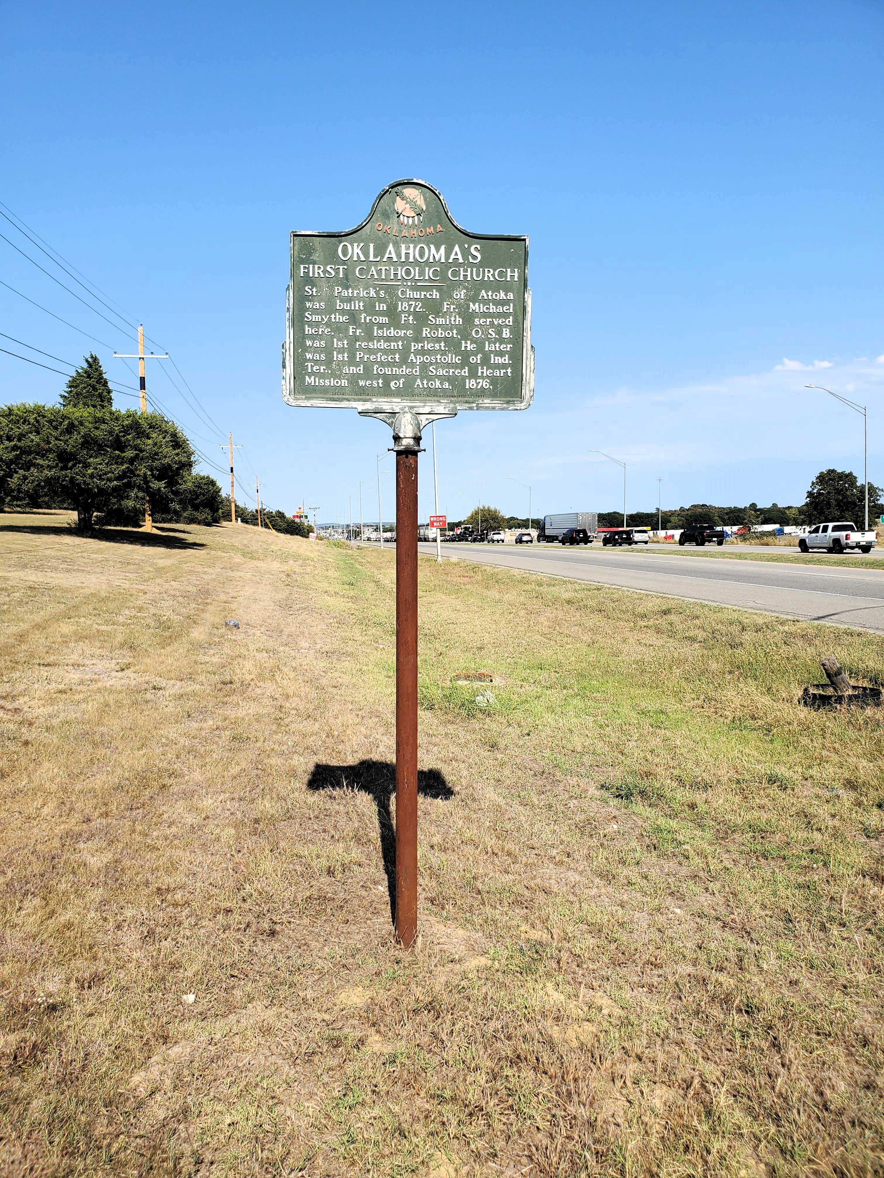
Oklahoma’s First Catholic Church
Atoka CountyLocation: on grounds of St. Patrick’s Catholic Church, 2013 South Mississippi Ave., Atoka
Coordinates: 34.361450, -96.144180
Material: Aluminum
Sponsor(s): Oklahoma Historical Society and the Oklahoma Department of Transportation
Topics: Religion/Philosophy; Territorial Period, 1861–1907
St. Patrick’s Church was built in 1872. Father Isidore Robot was the first resident priest and the first Prefect Apostolic of Indian Territory. Robot later founded Sacred Heart Mission in the Potawatomi lands east of present-day Asher.
View image
Stringtown Shoot-Out
Atoka CountyLocation: on US 69, 1/2 mile south of Stringtown
Coordinates: 34.462361, -96.062082
Material: Granite
Sponsor(s): Gwen Walker
Topics: Early Statehood, 1907–1941; Law and Order
Near this place on Aug. 5, 1932, Atoka County Sheriff C.G. Maxwell and Deputy Sheriff Eugene Moore were involved in a shoot-out with Clyde Barrow, Raymond Hamilton, and Everett Milligan. The incident occurred when the two lawmen tried to arrest the men at a dance in Stringtown. As the lawmen approached, the threesome opened fire, killing Moore instantly and severely wounding Maxwell.
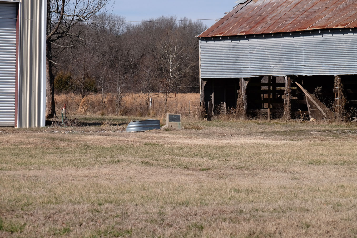
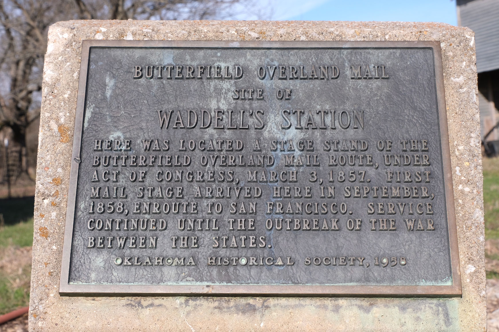
Waddell’s Station
Atoka CountyLocation: approximately three miles west of Wesley on Wesley Road
Coordinates: 34.567250, -95.933170
Material: Other (Concrete with bronze plaque)
Sponsor(s): Oklahoma Historical Society
Topics: Transportation; Westward Expansion, 1803–1861
In 1857, Congress created the Butterfield Overland Mail Route to carry mail and passengers between St. Louis, Missouri, and Memphis, Tennessee, and points west. It was the first real transcontinental link between the Atlantic states and the Pacific Coast of the United States. There were twelve stations along a 197-mile route in Oklahoma, including Waddell’s Station. This marker commemorates the site of Waddell’s Station.
Note: This marker is on private property and is difficult to see from the road.
View image
View image
(Page 1 of 1)
Marker Search
Use quotation marks to search for an exact phrase.
Browse by County
Adair County
Alfalfa County
Atoka County
Beaver County
Beckham County
Blaine County
Bryan County
Caddo County
Canadian County
Carter County
Cherokee County
Choctaw County
Cimarron County
Cleveland County
Comanche County
Cotton County
Craig County
Creek County
Custer County
Delaware County
Dewey County
Ellis County
Garfield County
Garvin County
Grady County
Grant County
Greer County
Harmon County
Harper County
Haskell County
Hughes County
Jackson County
Jefferson County
Johnston County
Kay County
Kingfisher County
Kiowa County
Latimer County
Le Flore County
Lincoln County
Logan County
Love County
Major County
Marshall County
Mayes County
McClain County
McCurtain County
McIntosh County
Murray County
Muskogee County
Noble County
Nowata County
Okfuskee County
Oklahoma County
Okmulgee County
Osage County
Ottawa County
Pawnee County
Payne County
Pittsburg County
Pontotoc County
Pottawatomie County
Pushmataha County
Roger Mills County
Rogers County
Seminole County
Sequoyah County
Stephens County
Texas County
Tillman County
Tulsa County
Wagoner County
Washington County
Washita County
Woods County
Woodward County
Alfalfa County
Atoka County
Beaver County
Beckham County
Blaine County
Bryan County
Caddo County
Canadian County
Carter County
Cherokee County
Choctaw County
Cimarron County
Cleveland County
Comanche County
Cotton County
Craig County
Creek County
Custer County
Delaware County
Dewey County
Ellis County
Garfield County
Garvin County
Grady County
Grant County
Greer County
Harmon County
Harper County
Haskell County
Hughes County
Jackson County
Jefferson County
Johnston County
Kay County
Kingfisher County
Kiowa County
Latimer County
Le Flore County
Lincoln County
Logan County
Love County
Major County
Marshall County
Mayes County
McClain County
McCurtain County
McIntosh County
Murray County
Muskogee County
Noble County
Nowata County
Okfuskee County
Oklahoma County
Okmulgee County
Osage County
Ottawa County
Pawnee County
Payne County
Pittsburg County
Pontotoc County
Pottawatomie County
Pushmataha County
Roger Mills County
Rogers County
Seminole County
Sequoyah County
Stephens County
Texas County
Tillman County
Tulsa County
Wagoner County
Washington County
Washita County
Woods County
Woodward County
To find out more about the Oklahoma Historical Society Historical Marker Program or how to submit an application, please visit the Historical Marker Program page.
Missing or Damaged Markers
Please use our online form to report missing or damaged historical markers.
Report Missing or Damaged Markers
Contact Us
If you have questions, please contact:
Matthew Pearce
Oklahoma Historical Society
800 Nazih Zuhdi Drive
Oklahoma City, OK 73105
405-522-8659
[email protected]
