Historical Marker Program
Search Results
Your search returned 9 results.
First Military Road
Le Flore CountyLocation: on US-271 on Winding Stair Mountain about eight miles northeast of Talihina
Material: Granite
Topics: Government; Indian and Frontier Trade; Mass Communication; Military; Territorial Period, 1861–1907; Transportation
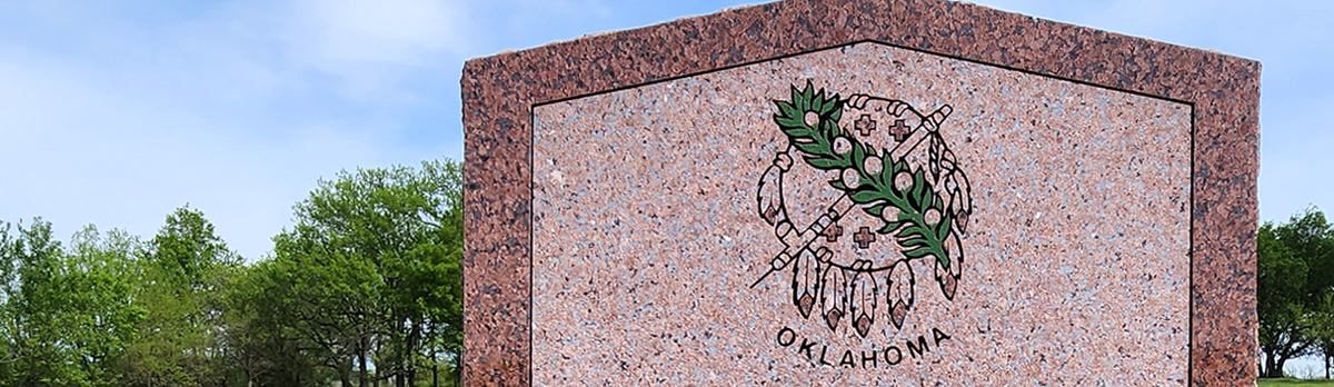
Here, between 1874 and 1890, supply wagons, a daily stagecoach and the US mail moved over this earliest-known trail from Dodge City, Kansas, to Fort Elliott, Texas. The fort, first known as Cantonment on Sweetwater was established after the Kiowa, Comanche, and Cheyenne attack on Adobe Walls in June of 1874.
Fort Smith/Fort Towson Military Road
Le Flore CountyLocation: on OK-1 east of US-271 junction
Material: Aluminum
Topics: Indian and Frontier Trade; Military; Settlement Patterns; Transportation; Westward Expansion, 1803–1861
Over rugged terrain and through raging streams, Colonel Robert Bean blazed this frontier road which was constructed by Captain John Stuart in 1832. It was used to carry supplies and emigrants from Fort Smith to Fort Towson.
Fort Supply – Fort Reno Military Road
Woodward CountyLocation: Ninth Street (OK-34) and Jefferson Avenue in Woodward
Coordinates: 36.442806, -99.390556
Material: Other (Stone pedestal)
Sponsor(s): Unknown
Topics: Indian and Frontier Trade; Military; Territorial Period, 1961–1907; Transportation
A supply road was established between Fort Supply and the Cheyenne-Arapaho Agency in Darlington in 1870. The road was an extension of the Fort Dodge (KS)–Fort Supply road and extended to Fort Reno in 1875. The road provided an important transportation route before the construction of railroads.
Note: This marker no longer exists (removed c. 2023). It was identical to the Fort Supply – Fort Reno Military Road marker south of Mooreland on OK-50.
Fort Supply – Fort Reno Military Road
Woodward CountyLocation: on OK-50, one mile west and two miles south of Mooreland
Coordinates: 36.399288, -99.228755
Material: Other (Stone pedestal)
Sponsor(s): Moorland Lions Club
Topics: Indian and Frontier Trade; Military; Territorial Period, 1861–1907; Transportation
A supply road was established between Fort Supply and the Cheyenne-Arapaho Agency in Darlington in 1870. The road was an extension of the Fort Dodge – Fort Supply road and extended to Fort Reno in 1875. The road provided an important transportation route before the construction of railroads.

View image
Military Road
McCurtain CountyLocation: on US-70 at chamber of commerce office in Broken Bow
Topics: American Indians; Settlement Patterns; Transportation
Cut from Washington, Arkansas, to Fort Towson in 1831 for removal of Choctaws from Mississippi, the road became known as the "Trail of Tears" after thousands of suffering Indians used it to reach the new land. The road served as a major east-west artery for the Choctaw Nation until early 1900s. Important early settlement along the road were Harris Mill, Eagletown, Lukfata, Wheelock, and Clear Creek. Segments of the road are still visible.
Military Road Crossing
Woodward CountyLocation: on US-270, one mile west of Fort Supply
Coordinates: 36.578908, -99.591265
Material: Aluminum
Sponsor(s): Daughters of the American Revolution and the Oklahoma Historical Society
Topics: Indian and Frontier Trade; Military; Social/Cultural; Territorial Period, 1861–190; Transportation
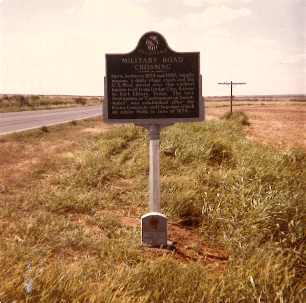
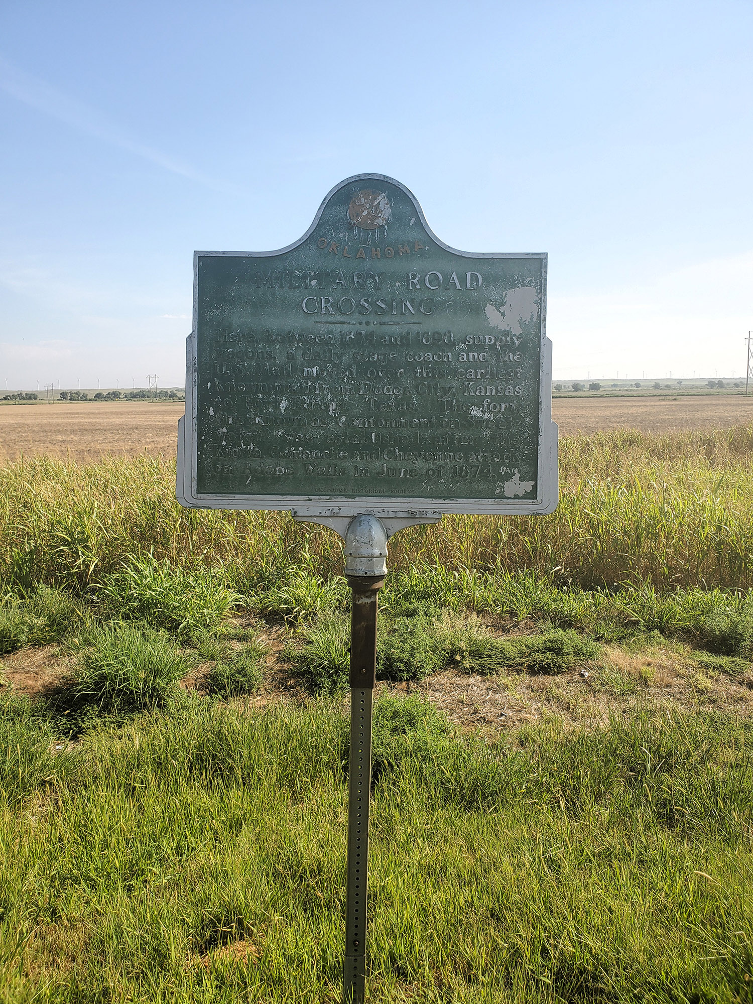
Here, between 1874 and 1890, supply wagons, a daily stagecoach, and the US mail moved over this earliest known trail from Dodge City, Kansas to Fort Elliott, Texas. Fort Elliot, first known as “Cantonment on the Sweetwater” was established in the Texas Panhandle after the Kiowa, Comanche and Cheyenne attack on Adobe Walls in June 1874.
Note: This site originally featured a small granite marker in addition to the aluminum marker. The granite marker no longer exists.
View image
View image
Military Road Crossing From Fort Supply
Ellis CountyLocation: on US-283, six miles south of Shattuck
A military road from Dodge City, Kansas, via Fort Supply to Fort Elliott, Texas, carried supply wagons and a daily stagecoach through this area from 1874 to 1890.
Military Road Crossing from Fort Supply
Ellis CountyLocation: on OK-15, 1/2 mile east of Gage
See Military Road Crossing from Fort Supply.
Old Military Road
Craig CountyLocation: at junction of OK-82 and OK-85, two miles west of Ketchum
Topics: Military; Transportation
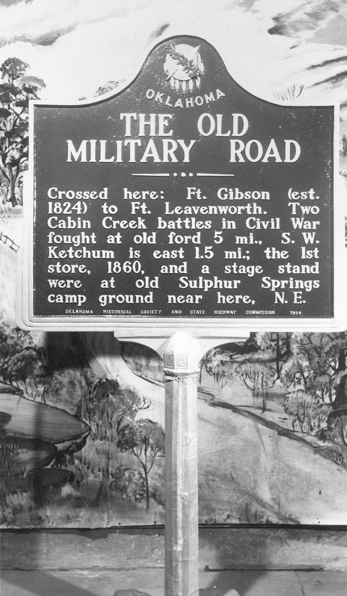
The army built a system of roads in Indian Territory between forts. Near this marker traces of the road from Fort Gibson to Fort Leavenworth, Kansas, can be seen.
View image
(Page 1 of 1)
Marker Search
Use quotation marks to search for an exact phrase.
Browse by County
Adair County
Alfalfa County
Atoka County
Beaver County
Beckham County
Blaine County
Bryan County
Caddo County
Canadian County
Carter County
Cherokee County
Choctaw County
Cimarron County
Cleveland County
Comanche County
Cotton County
Craig County
Creek County
Custer County
Delaware County
Dewey County
Ellis County
Garfield County
Garvin County
Grady County
Grant County
Greer County
Harmon County
Harper County
Haskell County
Hughes County
Jackson County
Jefferson County
Johnston County
Kay County
Kingfisher County
Kiowa County
Latimer County
Le Flore County
Lincoln County
Logan County
Love County
Major County
Marshall County
Mayes County
McClain County
McCurtain County
McIntosh County
Murray County
Muskogee County
Noble County
Nowata County
Okfuskee County
Oklahoma County
Okmulgee County
Osage County
Ottawa County
Pawnee County
Payne County
Pittsburg County
Pontotoc County
Pottawatomie County
Pushmataha County
Roger Mills County
Rogers County
Seminole County
Sequoyah County
Stephens County
Texas County
Tillman County
Tulsa County
Wagoner County
Washington County
Washita County
Woods County
Woodward County
Alfalfa County
Atoka County
Beaver County
Beckham County
Blaine County
Bryan County
Caddo County
Canadian County
Carter County
Cherokee County
Choctaw County
Cimarron County
Cleveland County
Comanche County
Cotton County
Craig County
Creek County
Custer County
Delaware County
Dewey County
Ellis County
Garfield County
Garvin County
Grady County
Grant County
Greer County
Harmon County
Harper County
Haskell County
Hughes County
Jackson County
Jefferson County
Johnston County
Kay County
Kingfisher County
Kiowa County
Latimer County
Le Flore County
Lincoln County
Logan County
Love County
Major County
Marshall County
Mayes County
McClain County
McCurtain County
McIntosh County
Murray County
Muskogee County
Noble County
Nowata County
Okfuskee County
Oklahoma County
Okmulgee County
Osage County
Ottawa County
Pawnee County
Payne County
Pittsburg County
Pontotoc County
Pottawatomie County
Pushmataha County
Roger Mills County
Rogers County
Seminole County
Sequoyah County
Stephens County
Texas County
Tillman County
Tulsa County
Wagoner County
Washington County
Washita County
Woods County
Woodward County
To find out more about the Oklahoma Historical Society Historical Marker Program or how to submit an application, please visit the Historical Marker Program page.
Missing or Damaged Markers
Please use our online form to report missing or damaged historical markers.
Report Missing or Damaged Markers
Contact Us
If you have questions, please contact:
Matthew Pearce
Oklahoma Historical Society
800 Nazih Zuhdi Drive
Oklahoma City, OK 73105
405-522-8659
[email protected]
