Historical Marker Program
Search Results
Your search returned 1 result.
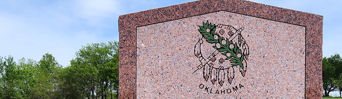
Oklahoma, Where Reflection Seismograph Was Born
Murray CountyLocation: at the Turner Falls Scenic Overlook on US-77
Coordinates: 34.427285, -97.145737
Material: Granite
Sponsor(s): Oklahoma-Kansas Oil and Gas Association
Topics: Early Statehood, 1907–1941; Environmental/Cultural Ecology; Petroleum
Oklahoma is the birthplace of the reflection seismic technique of oil exploration. This geophysical method records reflected seismic waves as they travel through the earth, helping to find oil-bearing formations. It has been responsible for the discovery of many of the world's largest oil and gas fields, containing billions of barrels of oil and trillions of cubic feet of natural gas. Pioneering research and development was led by Dr. J. C. Karcher, an Oklahoma physicist. The Arbuckle Mountains of Oklahoma were selected for a pilot survey of the technique and equipment because an entire geologic section from the basal permain to the basement mass of granite is exposed here. This survey followed limited testing in June 1921 in the outskirts of Oklahoma City. Verification and confirmation testing was conducted in the Arbuckles beginning July 4, 1921, by Dr. Karcher and Dr. W. P. Haseman, Dr. D. W. O'Hern, and Dr. Irving Perrine, of the University of Oklahoma. Results were promising. The world's first reflection seismograph geological section was measured on August 9, 1921, along Vines Branch a few miles north of Dougherty near here. The reflection technique has become the major method of energy exploration throughout the world. By 1983 more than 80 percent of the members of the Society of Exploration Geophysicists in 112 countries were involved in reflection seismography.

View image
(Page 1 of 1)
Marker Search
Use quotation marks to search for an exact phrase.
Browse by County
Adair County
Alfalfa County
Atoka County
Beaver County
Beckham County
Blaine County
Bryan County
Caddo County
Canadian County
Carter County
Cherokee County
Choctaw County
Cimarron County
Cleveland County
Comanche County
Cotton County
Craig County
Creek County
Custer County
Delaware County
Dewey County
Ellis County
Garfield County
Garvin County
Grady County
Grant County
Greer County
Harmon County
Harper County
Haskell County
Hughes County
Jackson County
Jefferson County
Johnston County
Kay County
Kingfisher County
Kiowa County
Latimer County
Le Flore County
Lincoln County
Logan County
Love County
Major County
Marshall County
Mayes County
McClain County
McCurtain County
McIntosh County
Murray County
Muskogee County
Noble County
Nowata County
Okfuskee County
Oklahoma County
Okmulgee County
Osage County
Ottawa County
Pawnee County
Payne County
Pittsburg County
Pontotoc County
Pottawatomie County
Pushmataha County
Roger Mills County
Rogers County
Seminole County
Sequoyah County
Stephens County
Texas County
Tillman County
Tulsa County
Wagoner County
Washington County
Washita County
Woods County
Woodward County
Alfalfa County
Atoka County
Beaver County
Beckham County
Blaine County
Bryan County
Caddo County
Canadian County
Carter County
Cherokee County
Choctaw County
Cimarron County
Cleveland County
Comanche County
Cotton County
Craig County
Creek County
Custer County
Delaware County
Dewey County
Ellis County
Garfield County
Garvin County
Grady County
Grant County
Greer County
Harmon County
Harper County
Haskell County
Hughes County
Jackson County
Jefferson County
Johnston County
Kay County
Kingfisher County
Kiowa County
Latimer County
Le Flore County
Lincoln County
Logan County
Love County
Major County
Marshall County
Mayes County
McClain County
McCurtain County
McIntosh County
Murray County
Muskogee County
Noble County
Nowata County
Okfuskee County
Oklahoma County
Okmulgee County
Osage County
Ottawa County
Pawnee County
Payne County
Pittsburg County
Pontotoc County
Pottawatomie County
Pushmataha County
Roger Mills County
Rogers County
Seminole County
Sequoyah County
Stephens County
Texas County
Tillman County
Tulsa County
Wagoner County
Washington County
Washita County
Woods County
Woodward County
To find out more about the Oklahoma Historical Society Historical Marker Program or how to submit an application, please visit the Historical Marker Program page.
Missing or Damaged Markers
Please use our online form to report missing or damaged historical markers.
Report Missing or Damaged Markers
Contact Us
If you have questions, please contact:
Matthew Pearce
Oklahoma Historical Society
800 Nazih Zuhdi Drive
Oklahoma City, OK 73105
405-522-8659
[email protected]
