Historical Marker Program
Search Results
Your search returned 246 results.
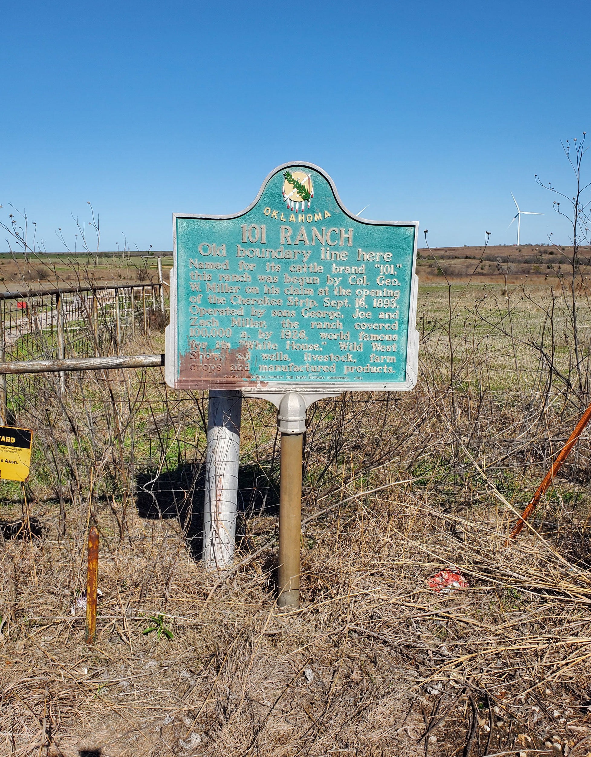
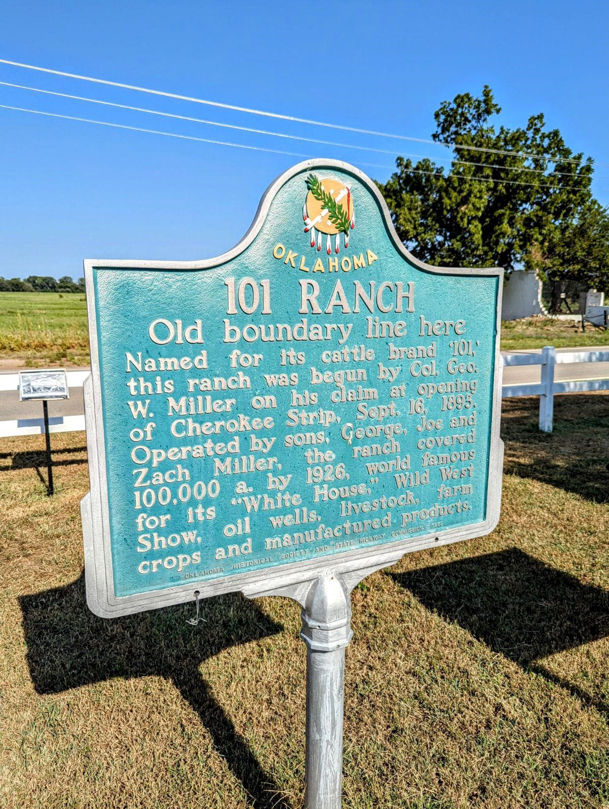
101 Ranch
Noble CountyLocation: on OK-156, north of Marland
Coordinates: 36.567150, -97.149150
Material: Aluminum
Sponsor(s): Oklahoma Historical Society and the Oklahoma Department of Transportation
Topics: Agriculture; American Indians; Arts; Industry/Business; Petroleum; Ranching; Territorial Period, 1861–1907
Believed to have derived its name from the 101,894 acres of the Ponca Reservation, this huge ranch was founded by George W. Miller and his sons in the early 1880s on land he leased, eventually purchased, or otherwise acquired from the Ponca Indians. The ranch became world-famous for its Wild West show, oil wells, livestock, and farm products.
There is a duplicate marker located approximately three miles north of this marker’s location at the 101 Ranch site in Kay County.
View image
View image
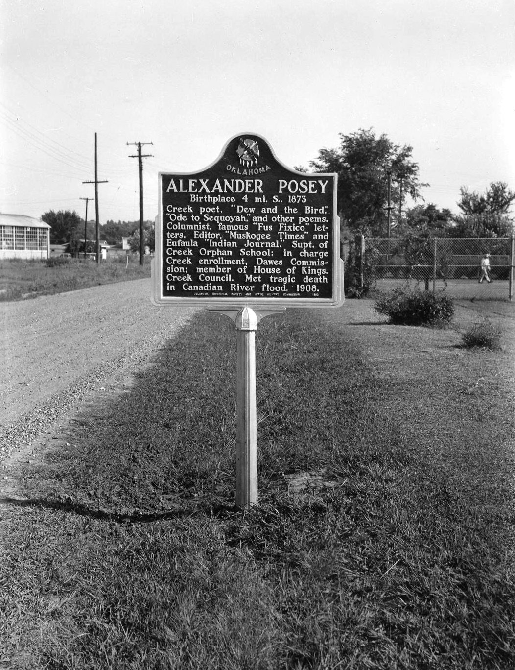
Alexander Posey
McIntosh CountyLocation: off OK 9 in Posey Park, in Eufaula
Coordinates: 35.288483, -95.585067
Material: Aluminum
Sponsor(s): Oklahoma Historical Society and the Oklahoma Department of Transportation
Topics: American Indians; Arts; Government; Mass Communication; Territorial Period, 1861–1907
This famous Creek poet and journalist's life prematurely ended when he drowned in the North Canadian River near Eufaula on May 27, 1908. Alexander Posey was the editor of newspapers, a member of the Dawes Commission, and widely known for his poems such as "Ode to Sequoyah."
View image

View image

View image
Alikchi Court Ground
McCurtain CountyLocation: on OK-3, 1/2 mile east of Ringold
Topics: American Indians; Folklife; Government; Social/Cultural; Territorial Period, 1861–1907
The last execution under Choctaw law was carried out here in 1899. According to Choctaw custom, a prisoner sentenced to death was allowed freedom to set family affairs in order from the time of sentencing until he returned to face the firing squad.
Alikchi Springs
McCurtain CountyTopics: American Indians; Law and Order
Alikchi was established in about 1834 as “Court Town“ or the District Capital of the Oklahoma Falaya (later Apukshunnubbee) District of the Choctaw Nation. On July 13, 1899, Alikchi Court grounds were the scene of the last official execution under Choctaw tribal law. With the Curtis Act of 1906, the court was closed.
Alluwe
Nowata CountyLocation: Five miles south of OK-28/US-60 junction on OK-28
Coordinates: 36.621564, -95.485845
Material: Granite
Sponsor(s): Roberta Campbell Lawson and Herbert Lockhart Campbell
Topics: American Indians; Settlement Patterns; Territorial Period, 1861–1907
John Edward Campbell of Winchester, Virginia, and his wife, Emma Journeycake Campbell, established a home and store at Alluwe, Indian Territory, in January 1878. Then known as Lightning Creek, the town was established by the Delawares after settling on land purchased from the Cherokee Nation in 1867. Campbell and other residents successfully petitioned Congress to change the town’s post office designation from Lightning Creek to Alluwe in 1883.

View image

View image
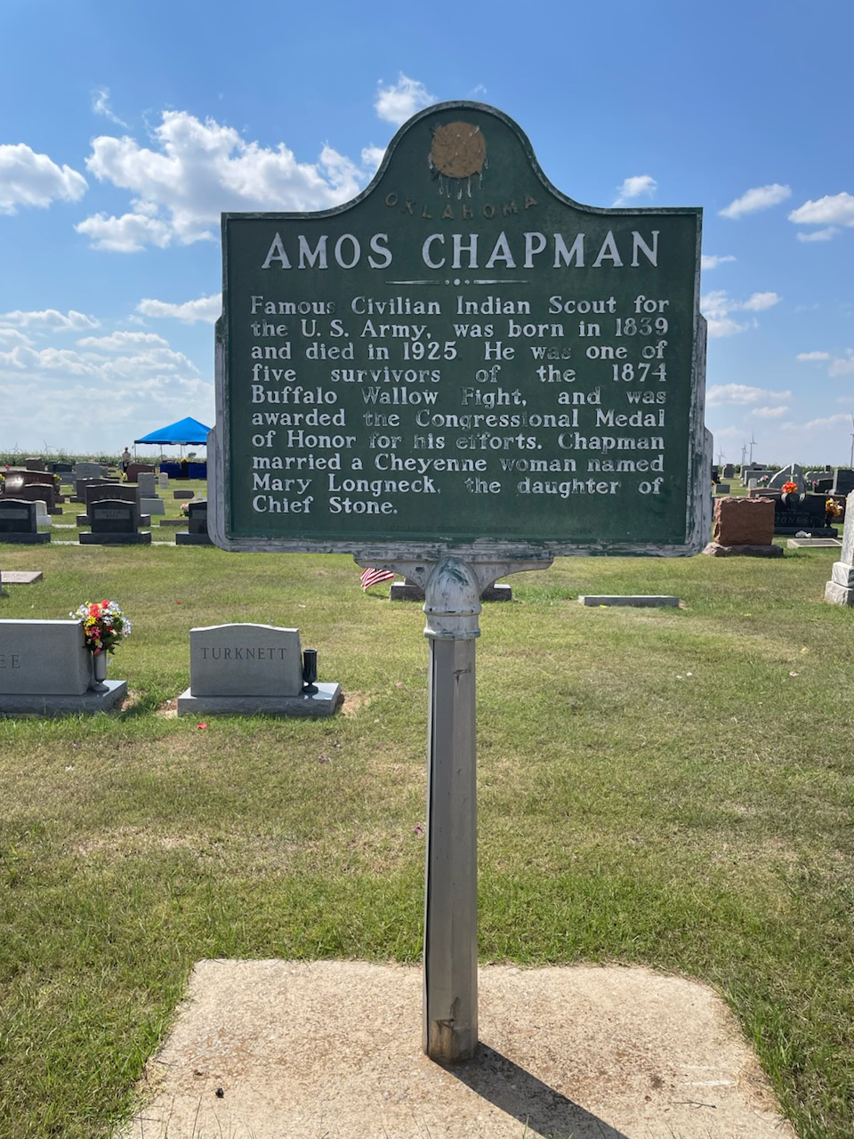
Amos Chapman
Dewey CountyLocation: in Brumfield section of Seiling Cemetery
Coordinates: 36.160027, -98.938621
Material: Aluminum
Sponsor(s): Seiling Chamber of Commerce
Topics: American Indians; Government; Military; Territorial Period, 1861–1907; Transportation; Westward Expansion, 1803–1861
Amos Chapman was a famous civilian American Indian scout employed by the US Army. He was one of only five survivors of the Buffalo Wallow Fight in 1874, an action that earned him the Congressional Medal of Honor. Chapman later married Mary Longneck, the daughter of a Cheyenne chief.
Note: This marker was reported damaged on April 9, 2025.
View image
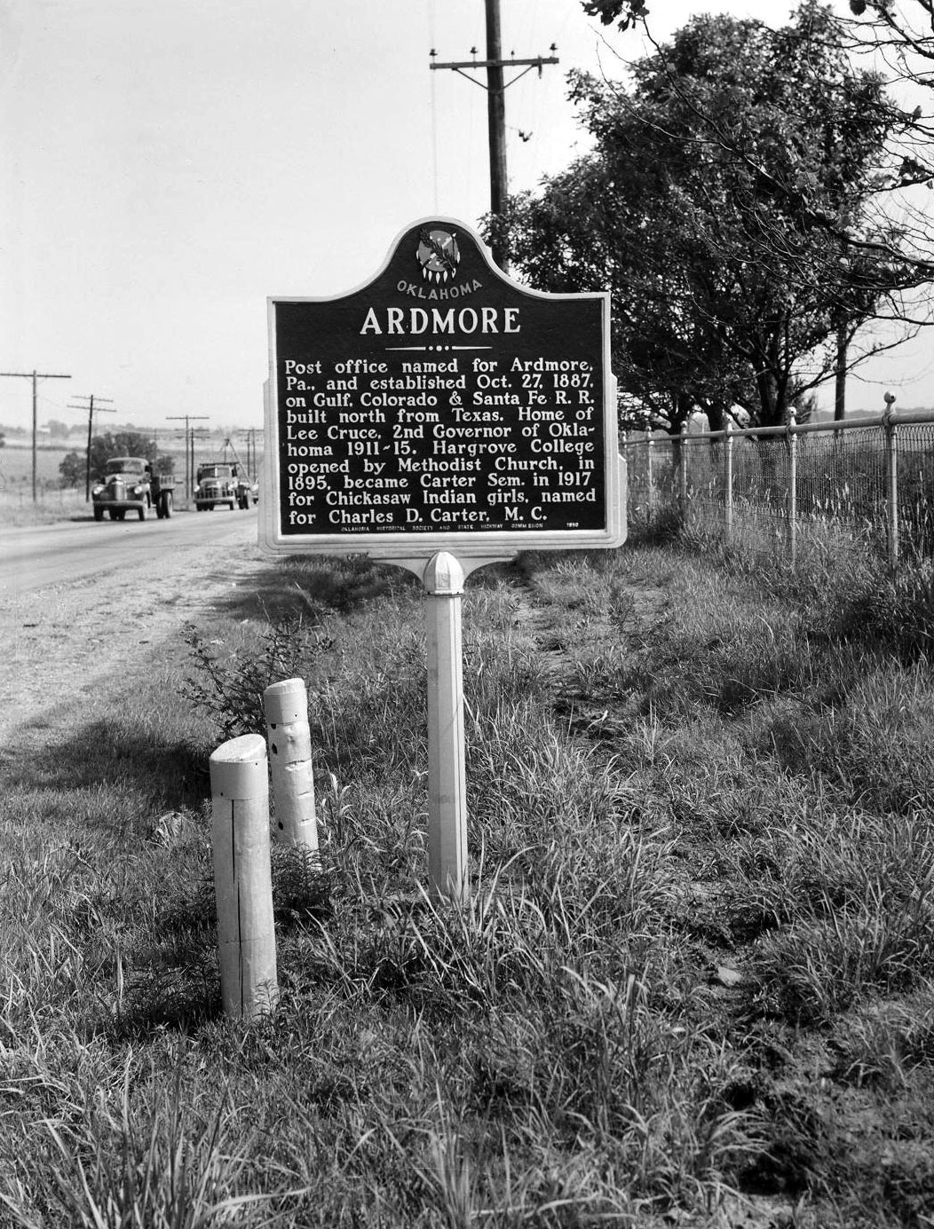
Ardmore
Carter CountyLocation: on US Highway 77, north of Ardmore, Carter County
Topics: American Indians; Education; Government; Religion/Philosophy; Territorial Period, 1861–1907
The Ardmore post office was named for Ardmore, Pennsylvania, and established on October 27, 1887, on the Gulf, Colorado & Santa Fe Railroad, built north from Texas. Ardmore was the home of Lee Cruce, second governor of Oklahoma from 1911–1915. Hargrove College was opened by the Methodist Church in 1895 and became Carter Seminary in 1917 for Chickasaw girls. It was named for Charles D. Carter, M.C.
View image
Asbury Memorial to Asbury Manual Labor School
McIntosh CountyLocation: off BUS-69 in Greenwood Cemetery, north of Eufaula
Coordinates: 35.293967, -95.582650
Material: Other (Stone with bronze plaque)
Sponsor(s): Oklahoma Methodist Historical Society
Topics: American Indians; Education; Religion/Philosophy
Stones that make up the monument are from the original buildings of Asbury Manual Labor School (est. 1847). The original site of the school lies under Lake Eufaula. Monument dedicated to Methodist missionaries who established the school for Native children and youth.

View image

View image
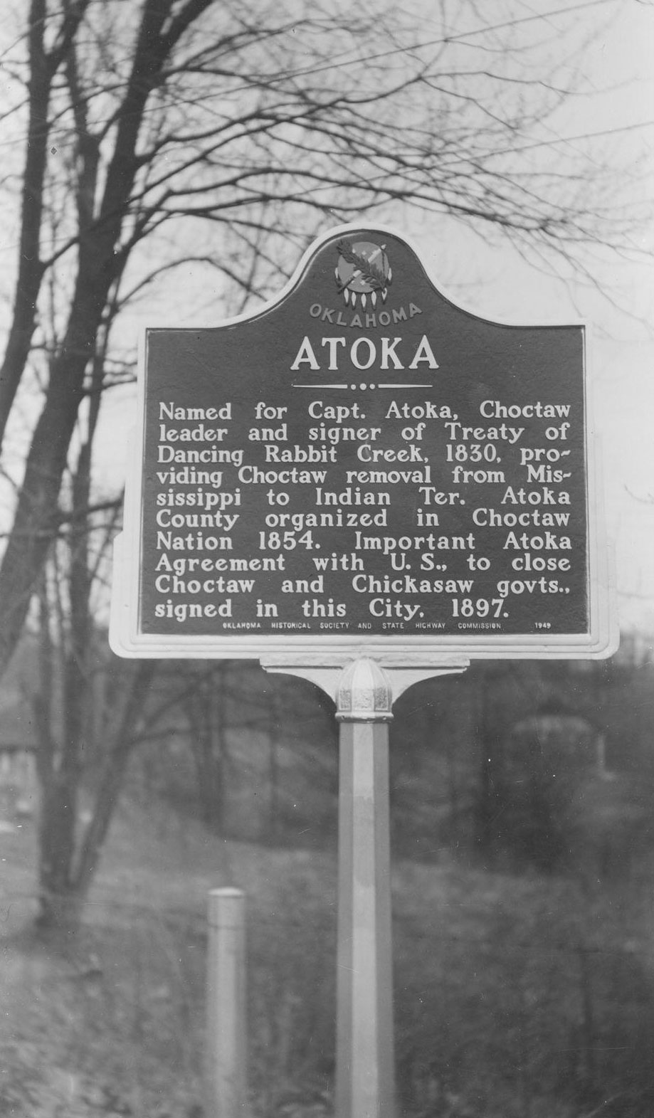
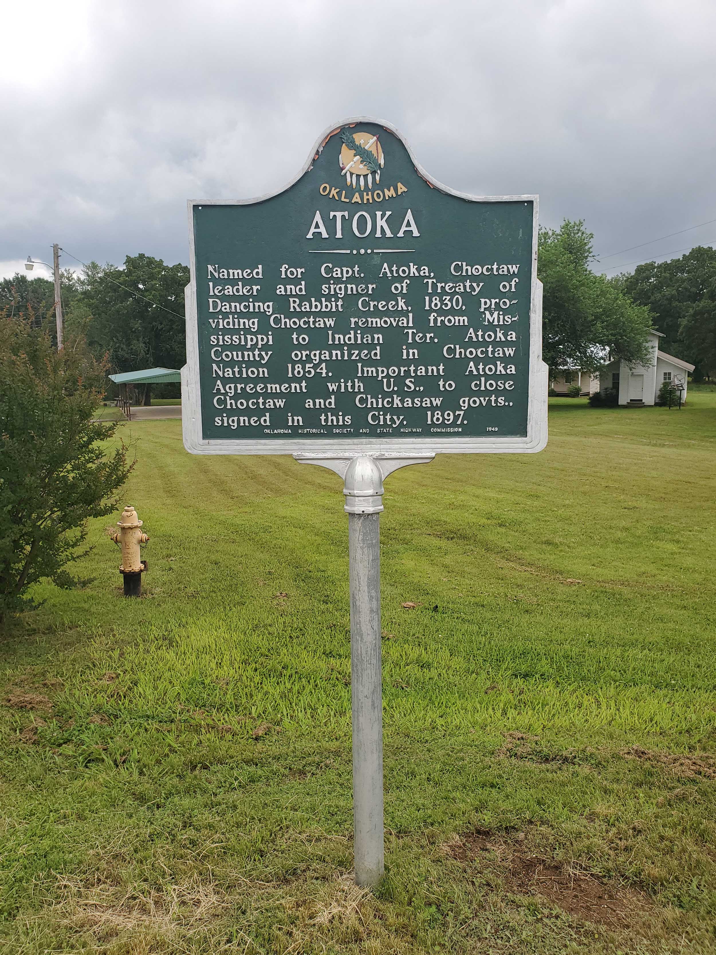
Atoka
Atoka CountyLocation: on grounds of Atoka Museum and Civil War Cemetery, Atoka
Coordinates: 34.399863, -96.117413
Material: Aluminum
Sponsor(s): Oklahoma Historical Society and the Oklahoma Department of Transportation
Topics: American Indians; Government; Territorial Period, 1861–1907; Westward Expansion, 1803–1861
Named for Captain Atoka, Choctaw leader and signer of Treaty of Dancing Rabbit (1830). Atoka County was organized in the Choctaw Nation in 1854. The Atoka Agreement, which provided for allotment of lands in the Choctaw and Chickasaw Nations, was signed in this city in 1897.
View image
View image
Bacone College
Muskogee CountyLocation: at front entrance of Bacone College in Muskogee
Sponsor(s): Daughters of the American Revolution
Topics: American Indians; Education; Religion/Philosophy; Territorial Period, 1861–1907
Almon C. Bacone founded Bacone College for American Indians in Tahlequah, Cherokee Nation, in 1880. The school was moved to Muskogee in the Creek Nation in 1885. It is affiliated with the American Baptist Church and is the oldest college continually in operation in Oklahoma.
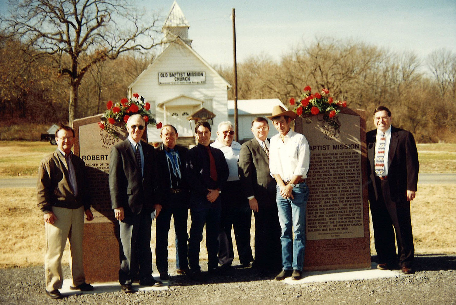
Baptist Mission
Adair CountyLocation: 3 miles north of junction of US 62 and US 59 at Old Baptist Mission Church, Westville vicinity
Coordinates: 36.035342, -94.583661
Material: Granite
Sponsor(s): Oklahoma Historical Society
Topics: American Indians; Education; Religion/Philosophy; Westward Expansion, 1803–1861
The present-day white frame building contains some of the original timbers of the log church built in 1839. Reverend James Bushyhead, the first supreme court judge of the Cherokee Nation, established the mission, which the Cherokees called Bread Town. The Cherokee Messenger, a religious publication, was printed at the mission beginning in 1844. Bacone College at Muskogee is an outgrowth of the school begun at Baptist Mission.
Note: The original aluminum marker for Baptist Mission is in front of the Old Baptist Mission Church.
View image
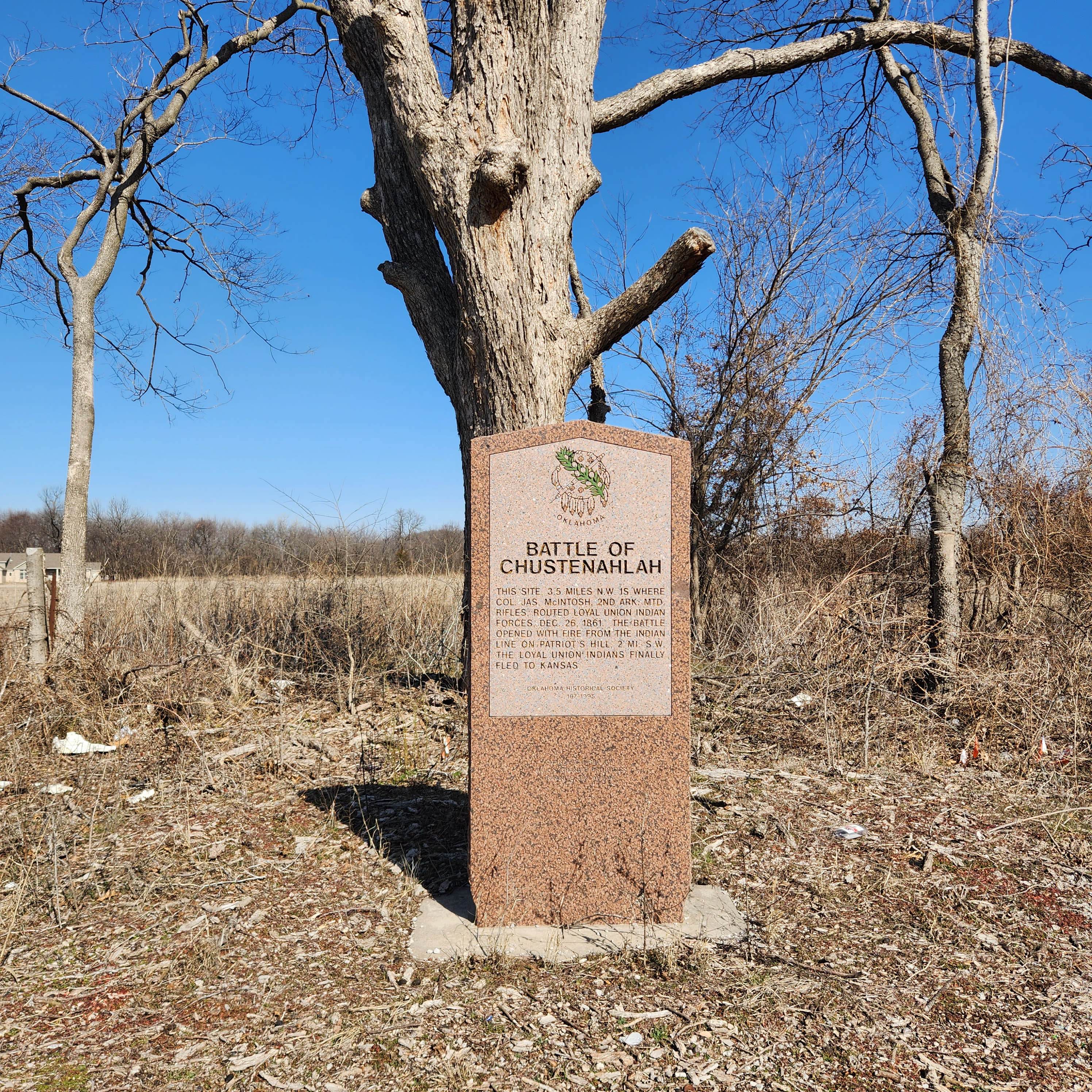
Battle of Chustenahlah
Osage CountyLocation: One half mile west of N 52nd W Avenue on OK-20, Skiatook vicinity.
Coordinates: 36.368646, -96.059451
Material: Granite
Topics: American Indians; Government; Military; Westward Expansion, 1803–1861
This site, 3.5 miles NW, is where Colonel James McIntosh, 2nd Arkansas Mounted Rifles, routed loyal Union Indian forces December 26, 1861. The battle opened with fire from the Indian line of Patriot's Hill, 2 miles southwest. The loyal Union Indians finally fled to Kansas.
View image
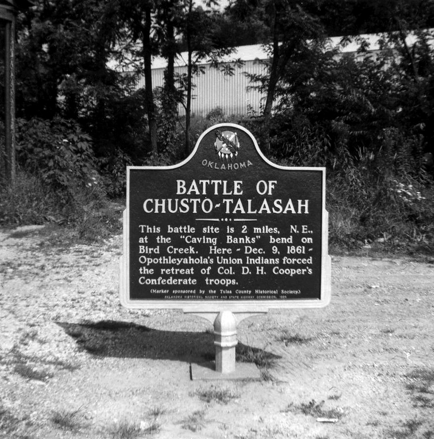
Battle of Chusto-Talasah
Tulsa CountyLocation: on OK-11 at 86th Street North in Tulsa
Topics: American Indians; Government; Military; Territorial Period, 1861–1907
This battle was the second in a series of three engagements between pro-Northern Indians led by Opothleyahola and a combined white and Indian Confederate force on December 9, 1861, on Bird Creek.
Note: This marker was reported missing on 7/8/2023.
View image
Battle of the J. R. Williams
Haskell CountyLocation: on OK-9, four miles east of Stigler
Coordinates: 35.260895, -95.062622
Material: Granite
Sponsor(s): Oklahoma Historical Society
Topics: American Indians; Military; Territorial Period, 1861–1907
A Civil War naval battle occurred in Indian Territory on June 15, 1864, when Confederate forces led by Brigadier General Stand Watie forced aground and captured the Union steamboat J. R. Williams. The cargo was valued at $120,000. Confederate troops included Choctaw, Chickasaw, and Seminole soldiers.

View image
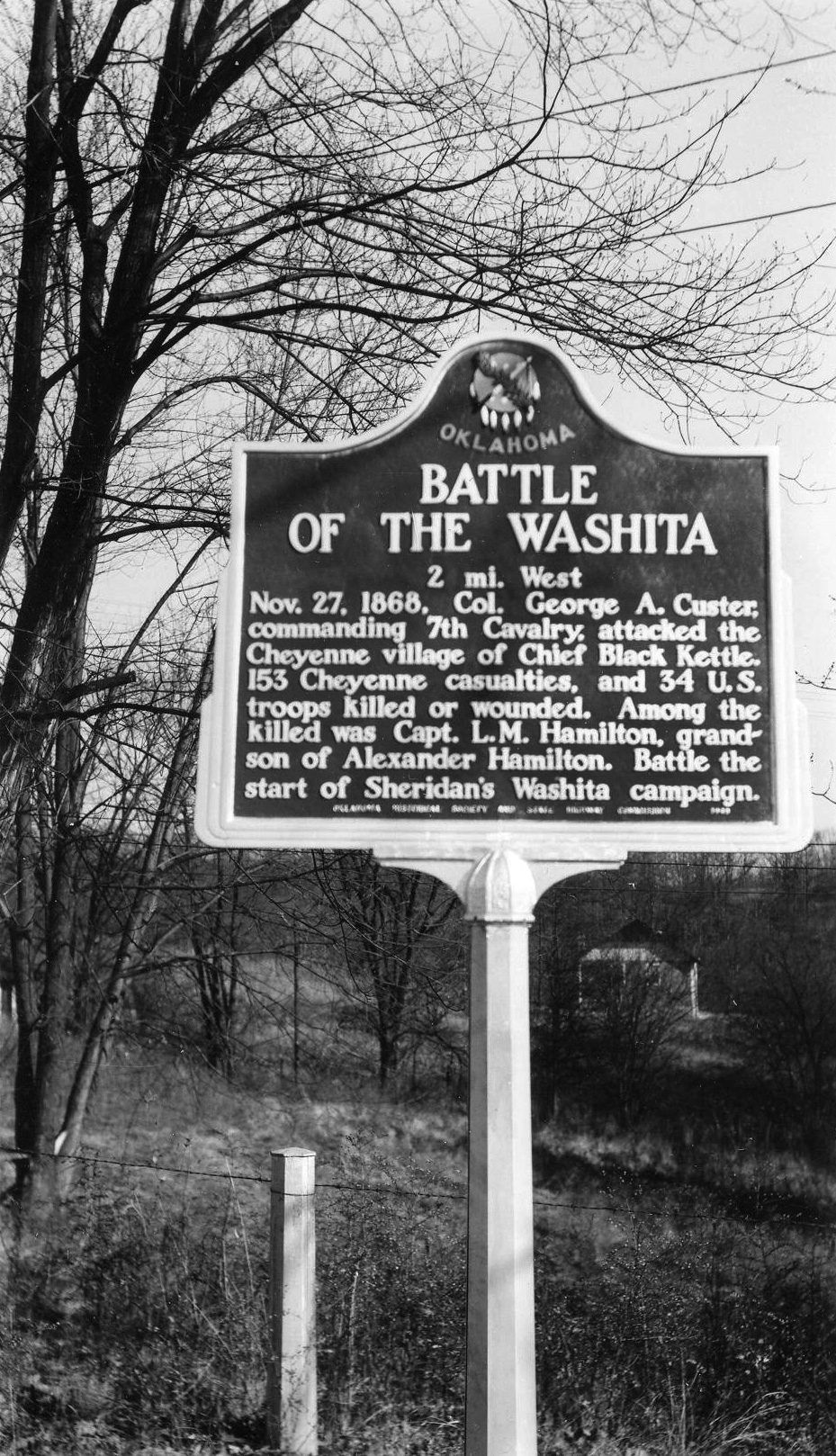
Battle of the Washita
Roger Mills CountyLocation: in downtown Cheyenne one block south of US-283 and OK-47 intersection
Material: Granite
Topics: American Indians; Military; Territorial Period, 1861–1907
On November 27, 1868, Colonel George Armstrong Custer led the 7th Cavalry in an attack on Chief Black Kettle's camp on the Washita River. The surprise, early-morning attack decimated the Cheyenne camp and no doubt was the seed for Custer's later meeting with American Indians at the Battle of Little Big Horn.
View image
Battle of the Wichita Village
Grady CountyLocation: on US-81 on north edge of Rush Springs
Material: Aluminum
Topics: American Indians; Land Openings; Military; Territorial Period, 1861–1907; Westward Expansion, 1803–1861
Four companies of the 2nd Cavalry, under the command of Major Earl Van Dorn, attacked a Comanche band near a Wichita village here on October 1, 1858, even though the Indians were on their way from a friendly council at Fort Arbuckle. Seventy Indians were killed, all because of poor communication. Pikey's Crossing was also an entry site for the Land Run of April 22, 1889.
Battle of Turkey Springs
Woods CountyLocation: on US-64, two miles east of Camp Houston
Coordinates: 36.81235, -99.07458
Material: Aluminum
Sponsor(s): Cherokee Strip Volunteer League and the Oklahoma Historical Society
Topics: American Indians; Government; Military; Territorial Period, 1861–1907
The last known encounter between American Indians and the federal government in Oklahoma occurred in this area on September 13–14, 1878. Units of the 4th Cavalry battled with Northern Cheyennes led by Dull Knife and Little Wolf as they fled Indian Territory to return to the north. An Arapaho scout and three soldiers were killed.
Bernard de La Harpe 1719
Latimer CountyLocation: on US-270, five miles east of Hartshorne
Material: Aluminum
Topics: American Indians; Empire Period, 1541–1803
The French explorer Bernard de La Harpe came north from Louisiana seeking trade with the Wichita Indians. He camped three miles east of Hartshorne on August 25, 1719, on his way north to the Canadian River and Wichita villages.
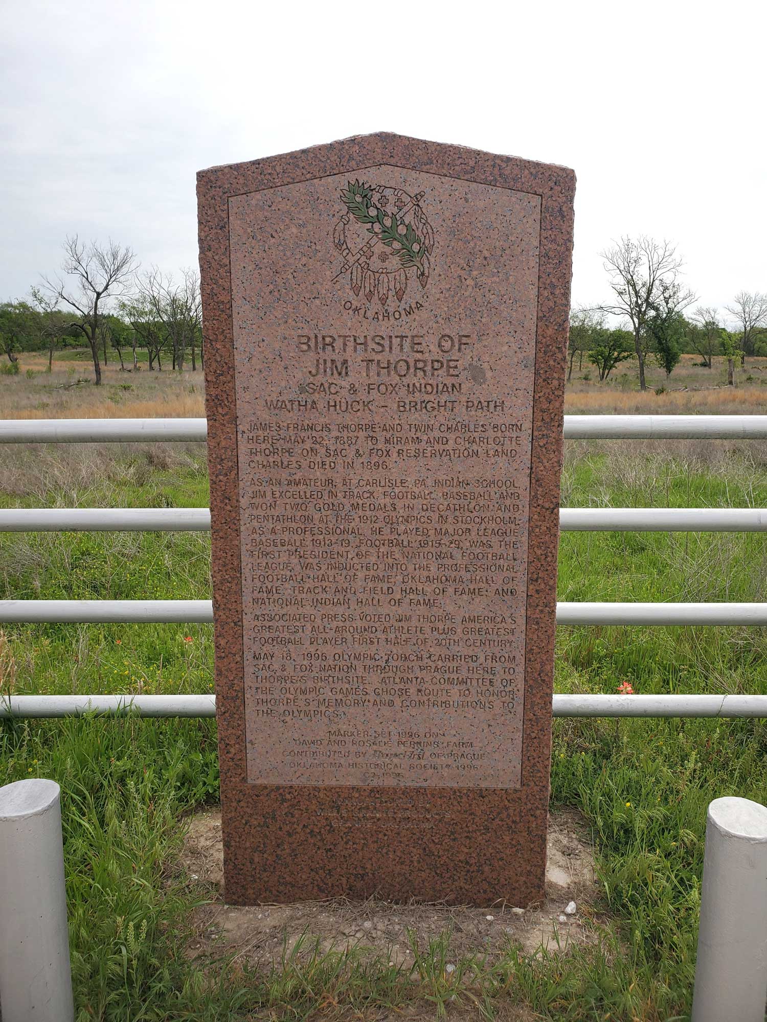
Birth Site of Jim Thorpe
Pottawatomie CountyLocation: approximately six miles southwest of Prague on NS Rd 3510
Coordinates: 35.421941, -96.753523
Material: Granite
Sponsor(s): BancFirst of Prague and the Oklahoma Historical Society
Topics: American Indians; Early Statehood, 1907–1941; Recreational/Service; Social/Cultural
James Francis Thorpe (Sac and Fox) and twin brother Charles were born here to Hiram and Charlotte Thorpe. Born as Wa-tho-huck, or “Bright Path,” Thorpe dominated the 1912 Olympics, winning both the decathlon and pentathlon events. He played major league baseball and professional football. He was the first president of the National Football League and is a member of Professional Football Hall of Fame. The Associated Press voted him the world’s greatest male athlete of the first half of the twentieth century.
View image
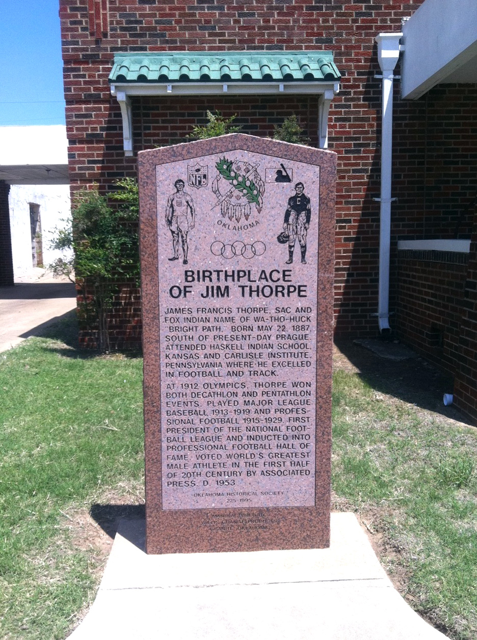
Birthplace of Jim Thorpe
Lincoln CountyLocation: less than one block north of the intersection of US-62 and US-377 in Prague
Coordinates: 35.487290, -96.685699
Material: Granite
Sponsor(s): Prague Historical Society and the Oklahoma Historical Society
Topics: American Indians; Early Statehood, 1907–1941; Recreational/Service; Social/Cultural
James Francis Thorpe (Sac and Fox) was born southeast of present-day Prague as Wa-tho-huck, or “Bright Path.” He dominated the 1912 Olympics, winning both the decathlon and pentathlon events. He played Major League Baseball and professional football. He was the first president of the National Football League and is a member of Professional Football Hall of Fame. The Associated Press voted him the world’s greatest male athlete of the first half of the twentieth century.
View image
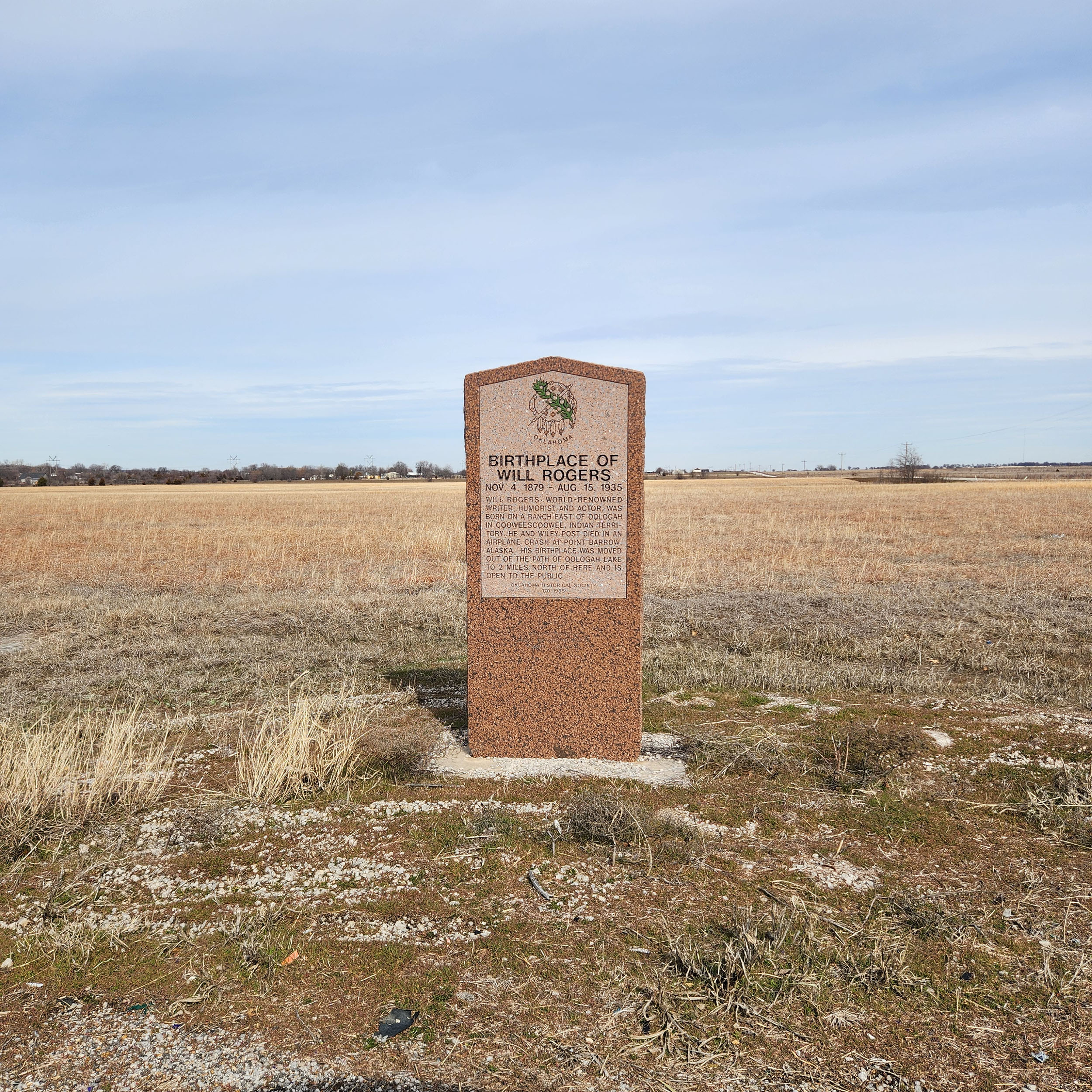
Birthplace of Will Rogers
Rogers CountyLocation: approximately one mile east of Oologah on OK-88
Coordinates: 36.437944, -95.68725
Material: Granite
Sponsor(s): Oklahoma Historical Society
Topics: American Indians; Arts; Early Statehood, 1907–1941; Mass Communication
World-renowned writer, humorist, and actor Will Rogers was born on a ranch east of Oologah in Cooweescoowee, Indian Territory, on November 4, 1879. He and Wiley Post died in an airplane crash at Point Barrow, Alaska, on August 15, 1935. His birthplace was moved out of the path of Oologah Lake to a site two miles north of here and is open to the public.
View image

View image
Birthplace of Will Rogers Replica
Rogers CountyLocation: on US-169 in Oologah
Coordinates: 36.446927, -95.708136
Material: Other
Sponsor(s): City of Oologah
Topics: American Indians; Arts; Early Statehood, 1907–1941; Mass Communication
Zennie Taylor constructed a replica of the Will Rogers birthplace in 1930. It was dedicated during a “Will Rogers Day” celebration in Oologah. The city of Oologah constructed a stone monument in memory of Will Rogers after his death in 1935. An arsonist destroyed the original replica of the house, which was replaced by a new model sponsored by the Oologah Chamber of Commerce.

View image

View image
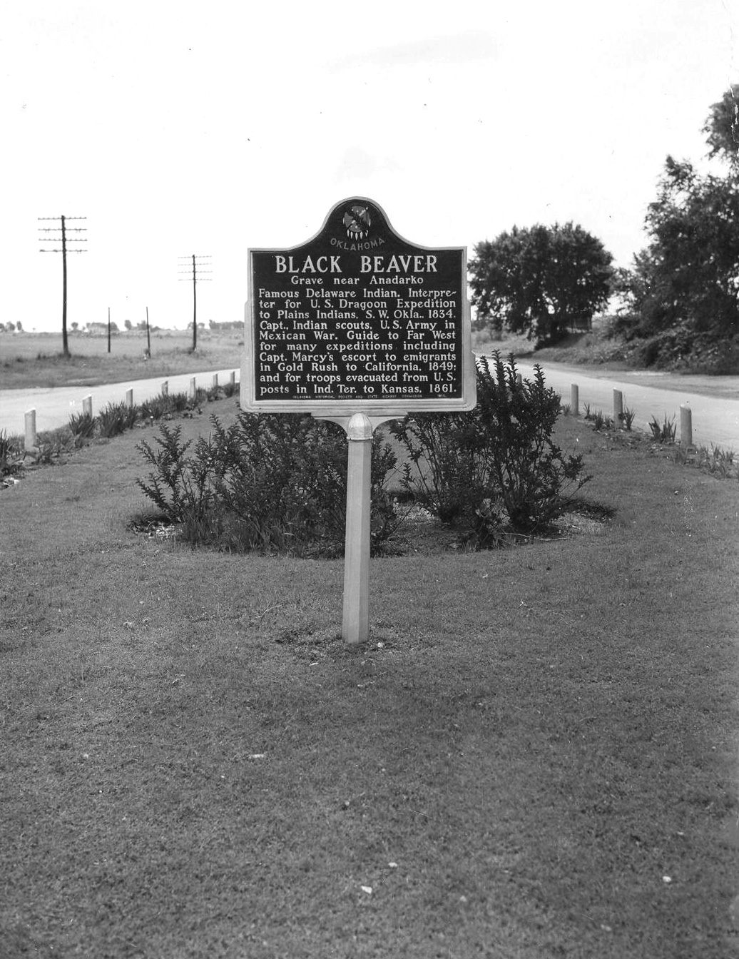
Black Beaver
Caddo CountyLocation: on US-62 in the National Hall of Fame for Famous American Indians in Anadarko
Coordinates: 35.072351, -98.228770
Material: Aluminum
Sponsor(s): Oklahoma Historical Society and the Oklahoma Department of Transportation
Topics: American Indians; Military; Westward Expansion, 1803–1861
Black Beaver, Delaware frontier scout, served as the interpreter for the US Dragoon Expedition to the Plains Indians in 1834. He was awarded the rank of captain and helped guide expeditions through Indian Territory, including Captain Randolph Marcy’s expedition in 1849. Black Beaver was buried near his home northwest of Anadarko. In 1975 the Delaware reinterred his body on the Fort Sill Military Reservation.
Note: This marker no longer exists.
View image
Bloomfield Academy
Bryan CountyLocation: on OK-78, one and a half miles south of Achille
Material: Granite
Topics: American Indians; Education; Government; Religion/Philosophy; Westward Expansion, 1803–1861
Bloomfield Academy, a seminary for Chickasaw girls, was established in 1853 by authority of the Methodist Missionary Board. The school was located on two different sites in Bryan County before it was moved to Ardmore in 1917. There it was renamed Carter Seminary in honor of Congressman Charles D. Carter.
Note: This marker was reported damaged.
Boggy Depot (Old Boggy Depot)
Atoka CountyLocation: on OK-7 approximately 5 miles east of Wapanucka
Coordinates: 34.367578, -96.327843
Material: Granite
Sponsor(s): Oklahoma Historical Society and the Oklahoma Department of Transportation
Topics: American Indians; Government; Territorial Period, 1861–1907; Transportation; Westward Expansion, 1803–1861
Site of town noted for distinguished citizens in state history. First house built in 1837 by Cyrus Harris, later governor of Chickasaw Nation. Later capital of Choctaw Nation and site of an Overland Mail Stage stand to San Francisco (1858–61). Home of Principal Chief Allen Wright, Choctaw, who named Oklahoma in 1866. Rev. Cyrus Kingsbury, noted missionary, is buried here.
Note: This marker replaced a previous aluminum marker titled “Old Boggy Depot.”
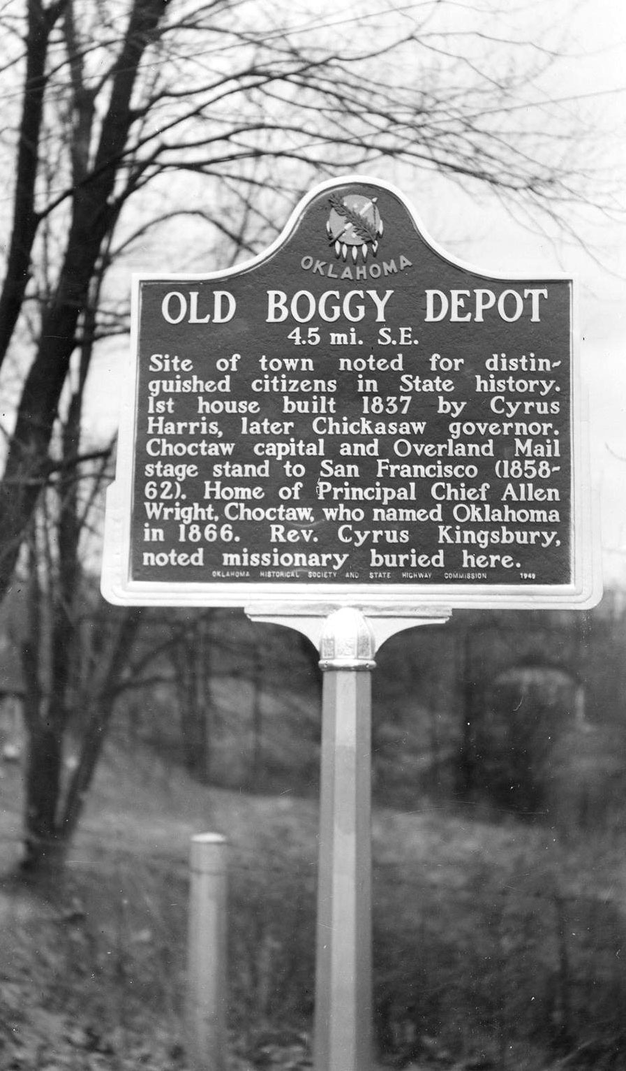
View image
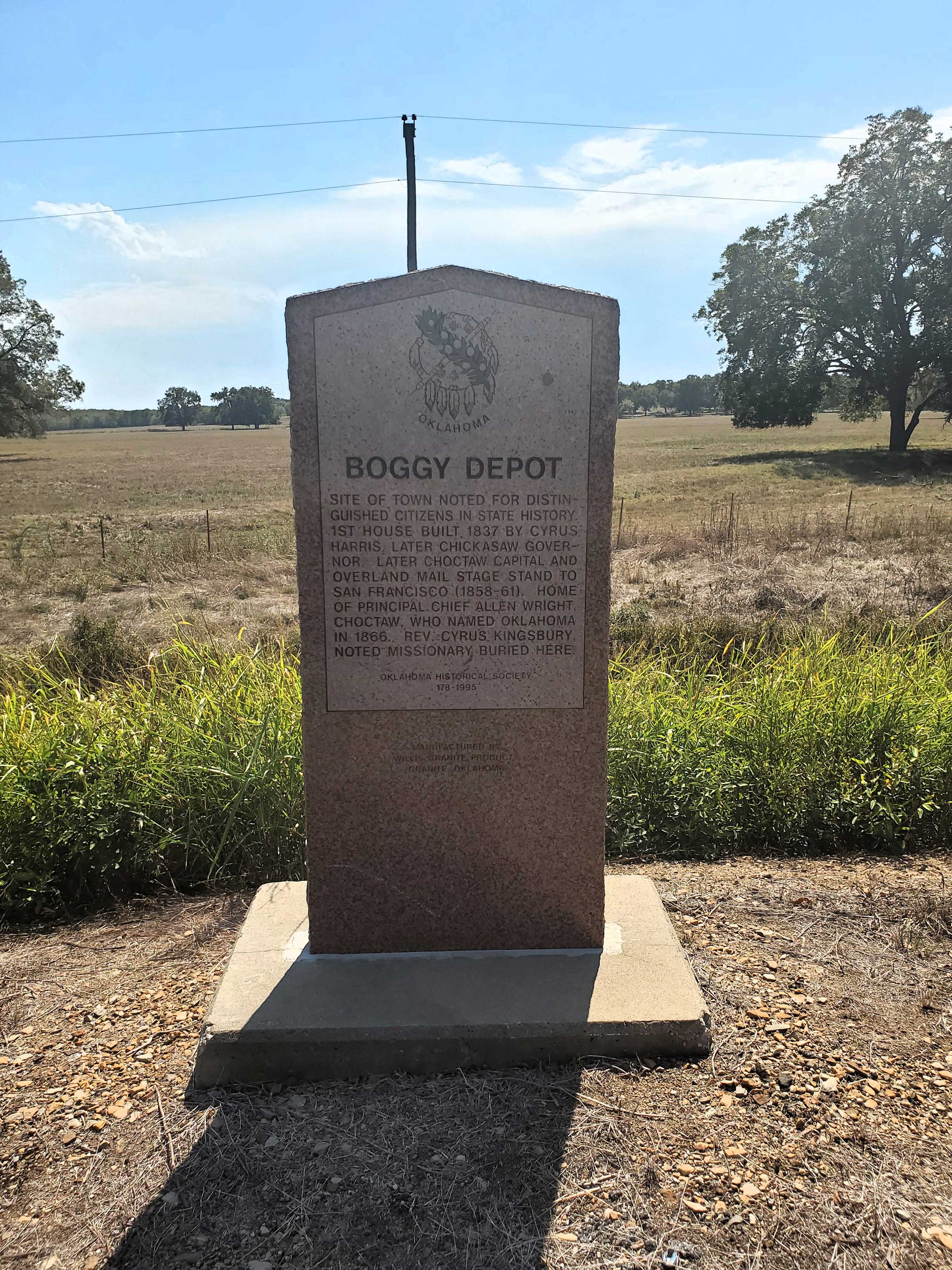
View image
Boley
Okfuskee CountyLocation: in community of Boley
Coordinates: 35.493390, -96.484182
Material: Other (Interpretive panel)
Sponsor(s): Oklahoma Historical Society
Topics: American Indians; Ethnic Diversity; Government; Territorial Period, 1861–1907; Transportation; Urban Development
Boley is one of 13 All-Black towns, out of more than 50 that once existed, remaining in Oklahoma. While Tullahassee is reportedly the oldest, most were established between 1889 and 1907 as African Americans sought security and control of their own destiny in a segregated world. Boley was established in 1903 on land owned by a Muscogee (Creek) Freedwoman, Abigail Barnett. Boley was incorporated on May 11, 1905. By 1911 it boasted more than 4,000 citizens (25,000 in surrounding areas) and many businesses, including two banks and three cotton gins. The town hosts the oldest African American community-based rodeo every Memorial Day weekend.
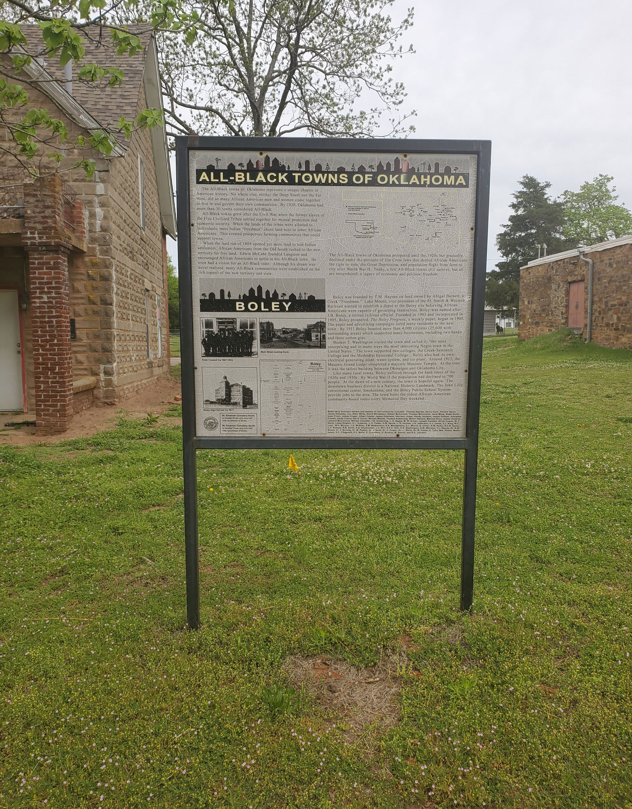
View image
Boley, Oklahoma
Okfuskee CountyLocation: on US-62 in Boley
Coordinates: 35.488219, -96.484095
Material: Aluminum
Sponsor(s): Oklahoma Historical Society/Town of Boley
Topics: American Indians; Ethnic Diversity; Government; Territorial Period, 1861–1907; Transportation; Urban Development
Boley, Creek Nation, Indian Territory, established as an all Black town on land of Creek Indian Freedwoman Abigail Barnett. Organized by T.M. Haynes first townsite manager. Established August 1903. Incorporated May 11, 1905. Declared National Historic Landmark May 15, 1975.
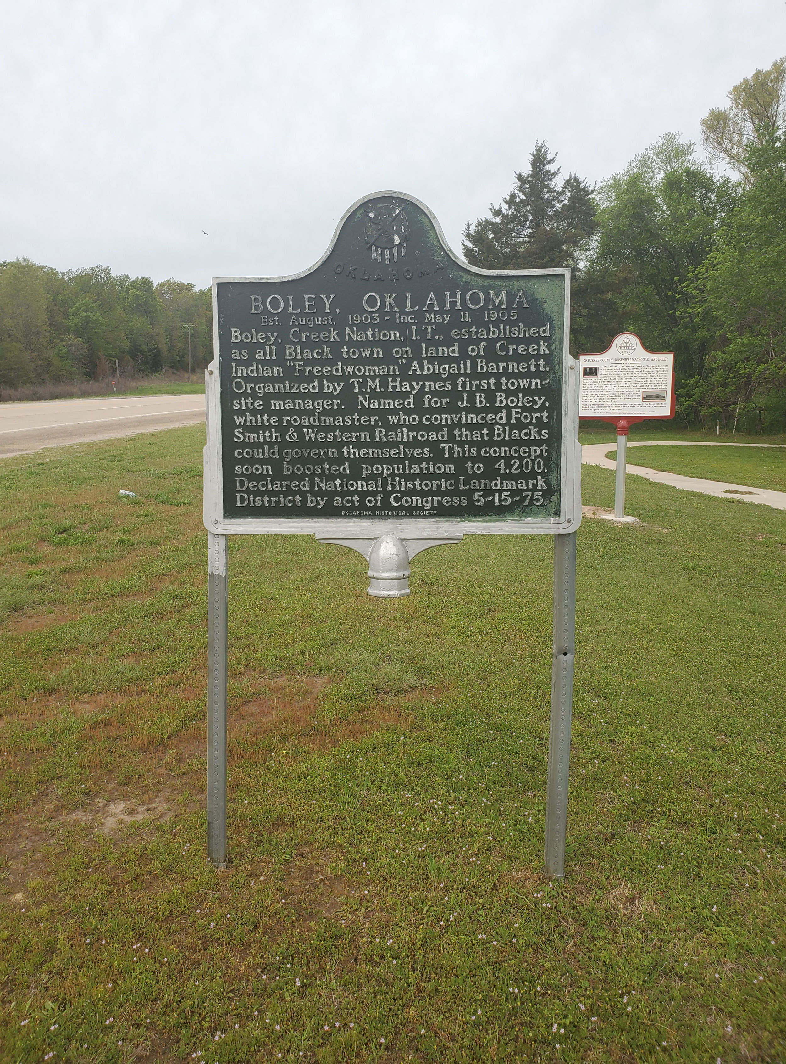
View image
Bond of Friendship
Pawnee CountyLocation: intersection of Market Street and Second Street in Skedee
Coordinates: 36.379819, -96.705051
Material: Other
Sponsor(s): Colonel E. Walters
Topics: American Indians; Folklore/Folklife; Early Statehood, 1907–1941; Petroleum
Erected in 1926, this monument features the likenesses of Osage Chief Bacon Rind (Wah-she-hah) and Colonel Ellsworth Walters to commemorate their role in opening oil fields within the Osage Reservation. For many years, Walters served as the public auctioneer for mineral leases within the reservation, the revenue from which was distributed to Osage headrights. Bacon Rind was elected principal chief of the Osage Nation and advocated for the development of petroleum resources within the reservation.

View image
Buffalo Springs
Garfield CountyLocation: on US-81, 1 1/2 miles north of Bison
Coordinates: 36.2150336,-97.8872384
Material: Aluminum
Topics: American Indians; Indian and Frontier Trade; Land Openings; Ranching; Territorial Period, 1861–1907; Transportation
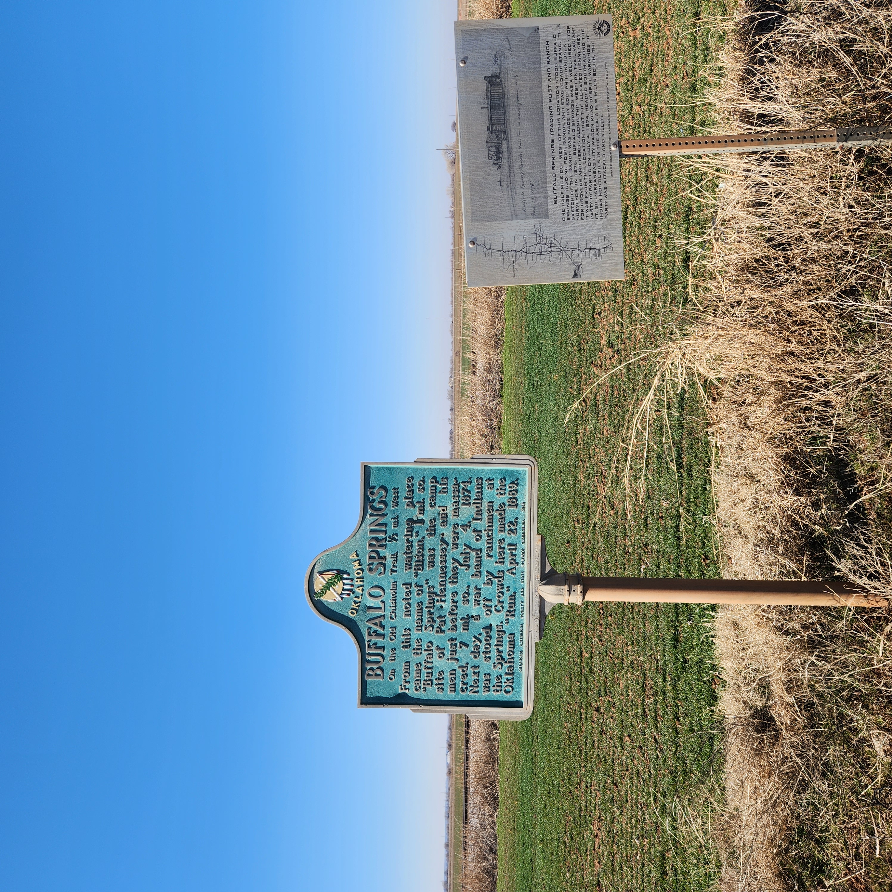
The springs were a favorite rest stop on the Chisholm Trail on long cattle drives from Texas to Kansas. A pioneer merchant, trader, and explorer, Jesse Chisholm, a Cherokee, established the trail through western Indian Territory before the Civil War. Texas cattlemen used the trail until the late 1880s to move millions of cattle to northern markets. The trail ran from Montague County, Texas, to Abilene, Kansas. Buffalo Springs was an important gathering place for settlers making the land run on April 22, 1889.
View image
Burney Institute
Marshall CountyLocation: on OK-32, 1 1/2 miles east of Lebanon
Material: Aluminum
Topics: American Indians; Education; Recreational/Service; Social/Cultural; Territorial Period, 1861–1907; Westward Expansion, 1803–1861
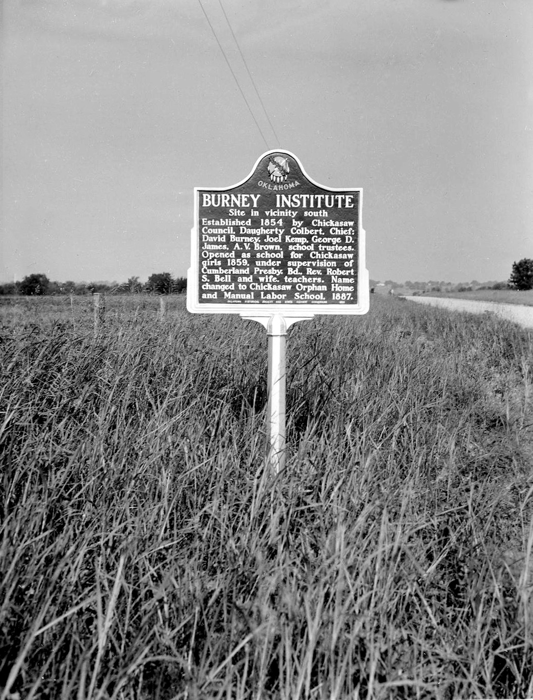
The school was opened as a learning center for Chickasaw girls in 1859 under the supervision of the Cumberland Presbyterian Board. In 1887, the name was changed to Chickasaw Orphan Home and Manual Labor School. The first post office, called Burney Academy, opened on July 3, 1860.
View image
Camp Arbuckle
McClain CountyLocation: on OK-59 one mile west of Byars
Coordinates: 34.883452, -97.071545
Material: Aluminum
Sponsor(s): Oklahoma Historical Society and the Oklahoma Department of Transportation
Topics: American Indians; Military; Settlement Patterns; Transportation; Westward Expansion, 1803–1861
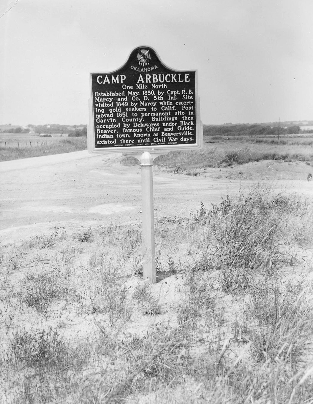
Camp Arbuckle was established in May 1850 by Captain R. B. Marcy and Company D, 5th Infantry. The site was visited in 1849 by Marcy while escorting gold seekers to California. The post was moved in 1851 to a permanent site in present Garvin County. Buildings were then occupied by Delawares under Black Beaver. A Delaware town known as Beaversville existed there until the Civil War.
Note: This marker could not be located and is presumed to no longer exist.
View image
Camp Comanche
Comanche CountyLocation: on US Highway 62, two miles south of Caddo-Comanche County line
Coordinates: 34.825773, -98.387418
Material: Aluminum
Sponsor(s): Oklahoma Historical Society and the Oklahoma Department of Transportation
Topics: American Indians; Military; Westward Expansion, 1803–1861
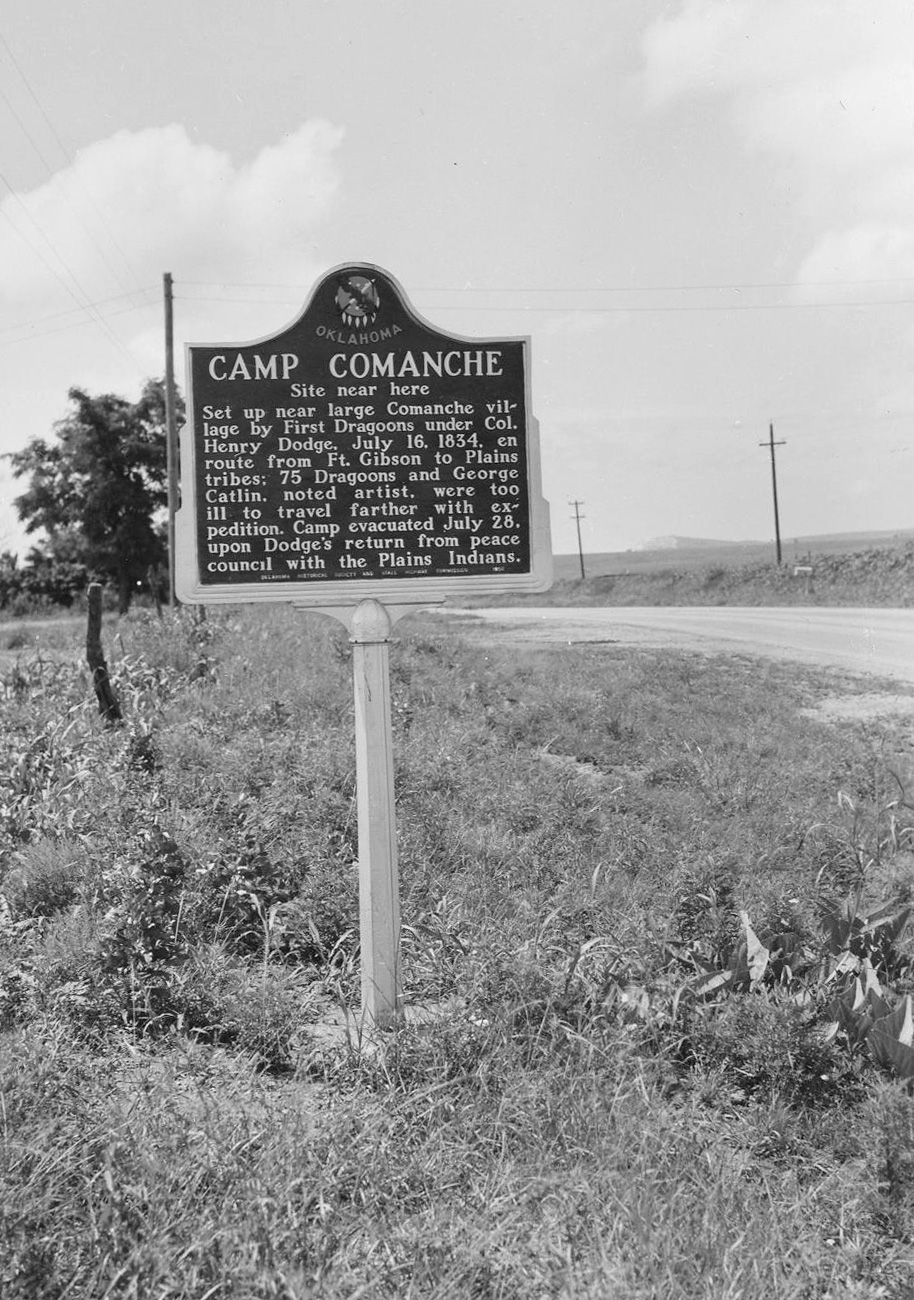
Camp Comanche was set up near a large Comanche village by the First Dragoons under Colonel Henry Dodge on July 16, 1834, while en route from Fort Gibson to Plains tribes. Seventy-five Dragoons and noted artist George Catlin were too ill to travel farther with the expedition. The camp was evacuated on July 28, upon Dodge’s return from peace councils with the Plains Indians.
Note: This marker could not be located and is presumed to no longer exist.
View image
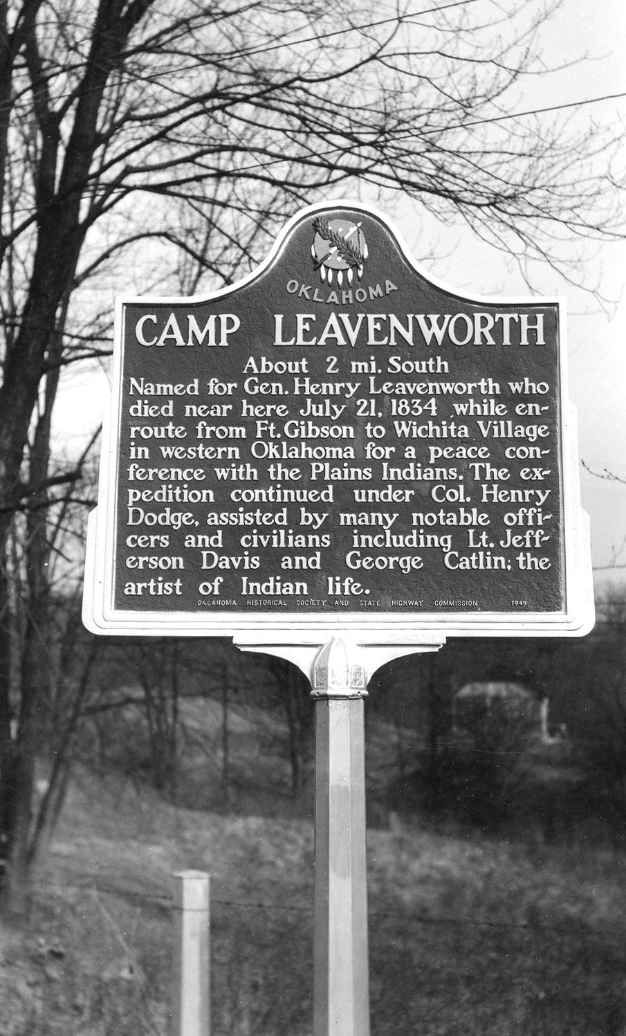
Camp Leavenworth
Marshall CountyLocation: on US-70 at west side of Kingston
Material: Aluminum
Topics: American Indians; Military; Social/Cultural; Westward Expansion, 1803–1861
This frontier post was named for Brigadier General Henry Leavenworth, commander of the Dragoon Expedition through Oklahoma in 1834. Leavenworth died nearby after being injured in a buffalo hunt. Some historians call the 1834 expedition the greatest expeditionary force in the annals of the US Army.
View image
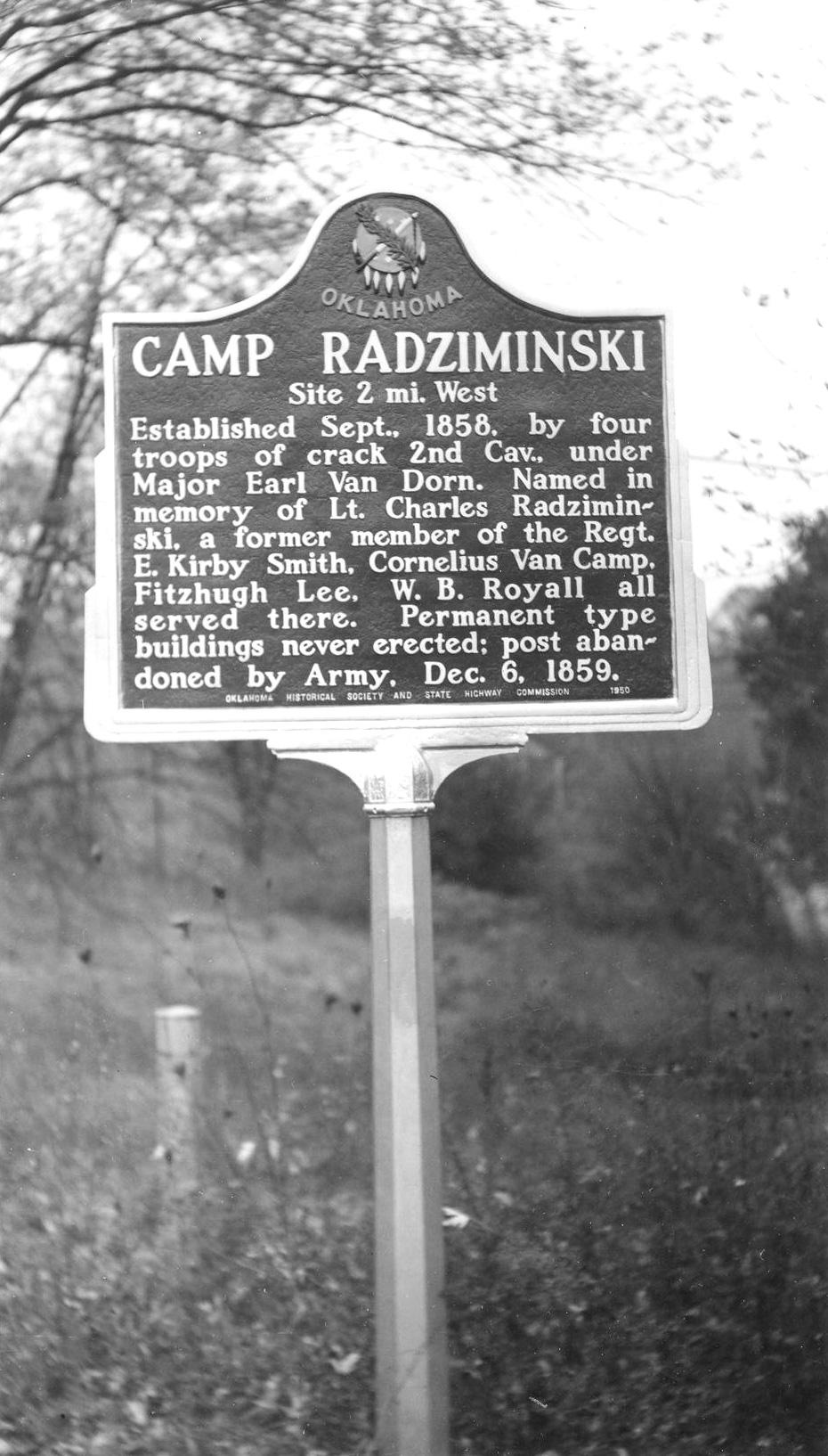
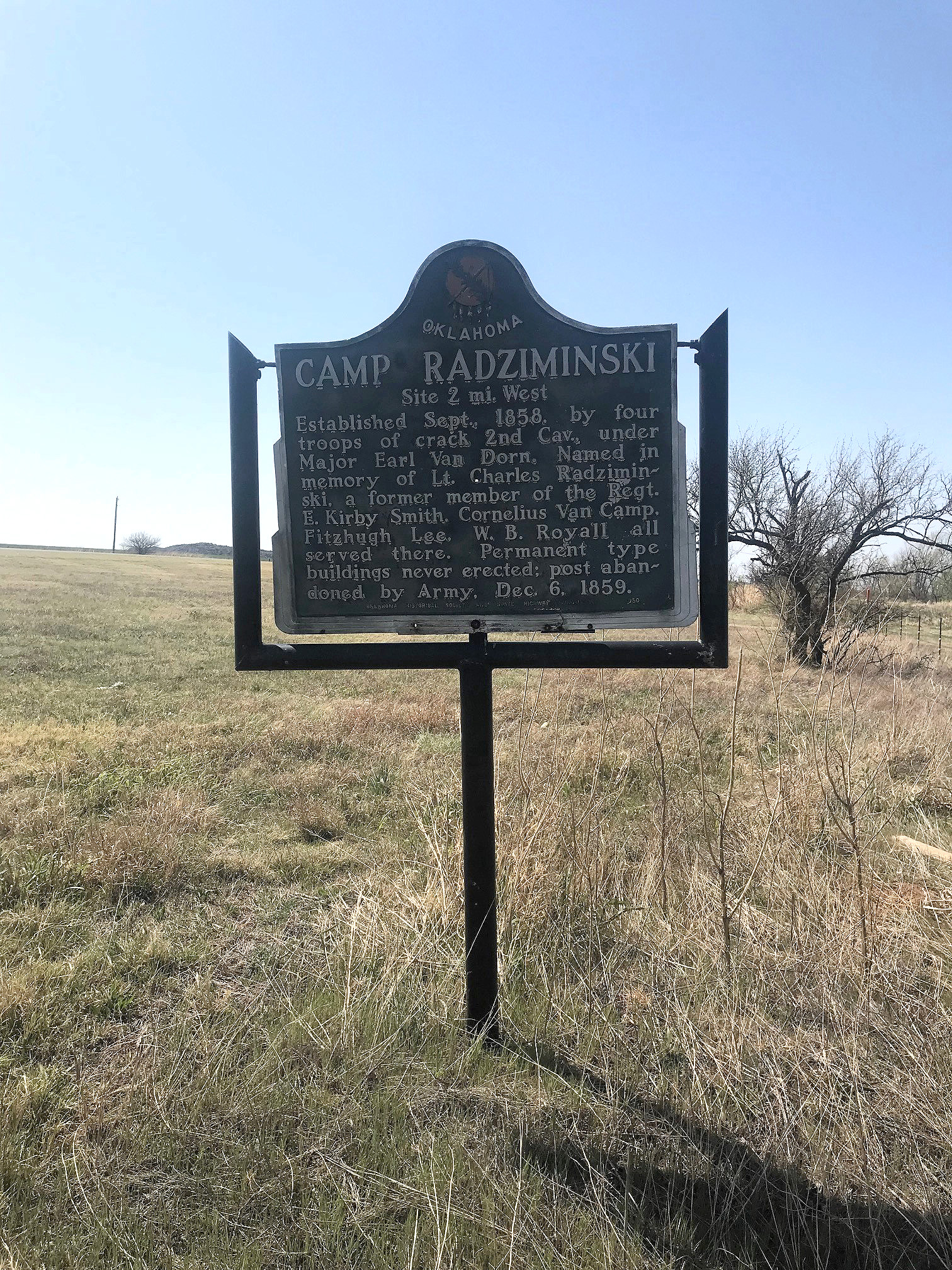
Camp Radziminski
Kiowa CountyLocation: on US-183, two miles north of Mountain Park
Coordinates: 34.724926, -98.949244
Material: Aluminum
Sponsor(s): Oklahoma Historical Society and the Oklahoma Department of Transportation
Topics: American Indians; Government; Military; Westward Expansion, 1803–1861
Established in September 1858 by four troops of the 2nd US Cavalry under Major Earl Van Dorn. The camp was named for Lieutenant Charles Radziminski, a former member of the 2nd Cavalry. E. Kirby Smith, Cornelius Van Camp, Fitzhugh Lee, and W. B. Royall served here. No permanent buildings were erected and the post was abandoned in December 1859.
View image
View image
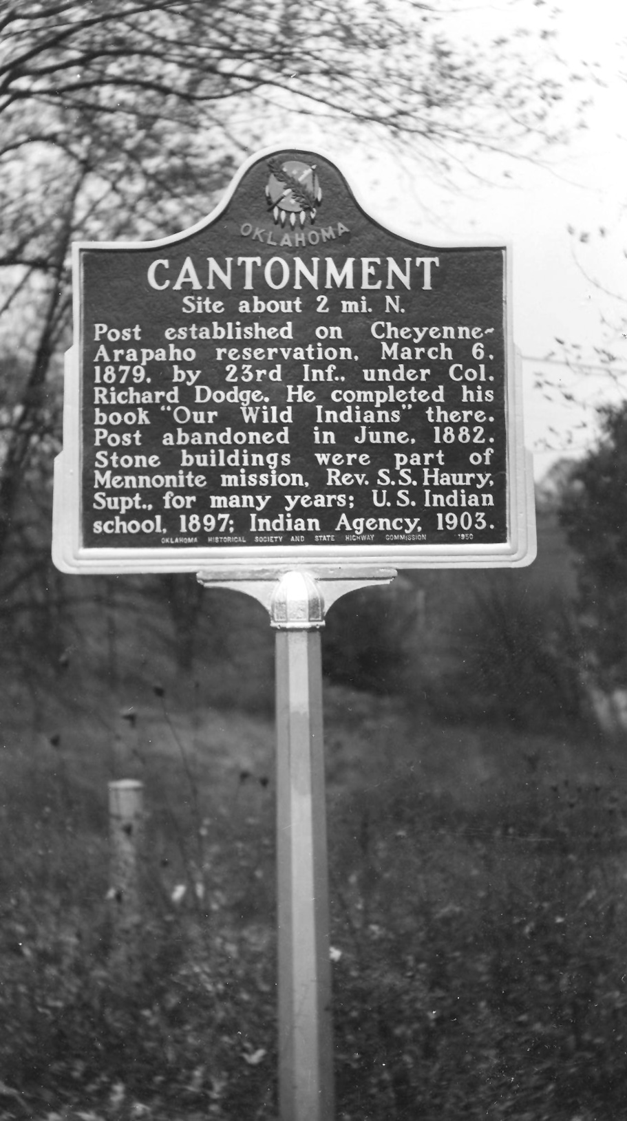
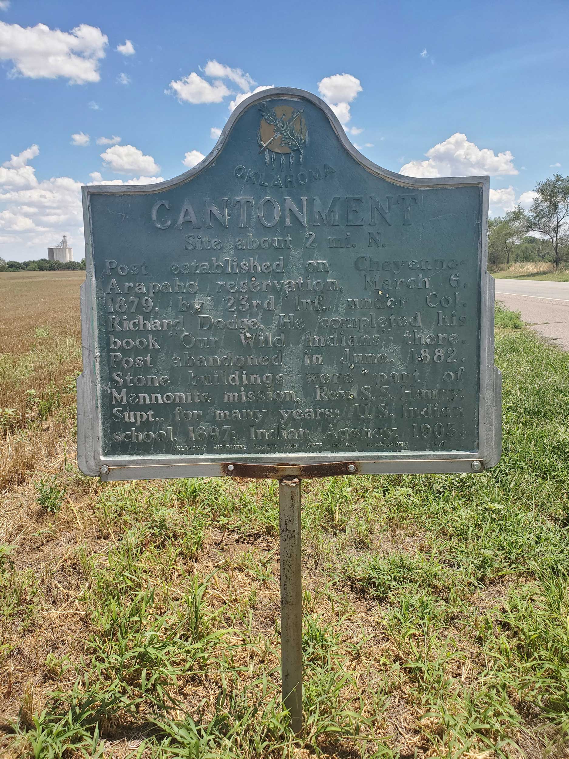
Cantonment
Blaine CountyLocation: on OK-51, 1/2 mile west of Canton
Coordinates: 36.055893, -98.599748
Material: Aluminum
Sponsor(s): Oklahoma Historical Society and the Oklahoma Department of Transportation
Topics: American Indians; Military; Religion/Philosophy; Territorial Period, 1861–1907
Colonel Richard Dodge established this post in March 1879 as part of the US Army’s attempt to police the Cheyenne and Arapaho Reservation. The military abandoned the post three years later. It was subsequently used as a Mennonite mission, a federal Indian school, and an Indian agency.
View image
View image
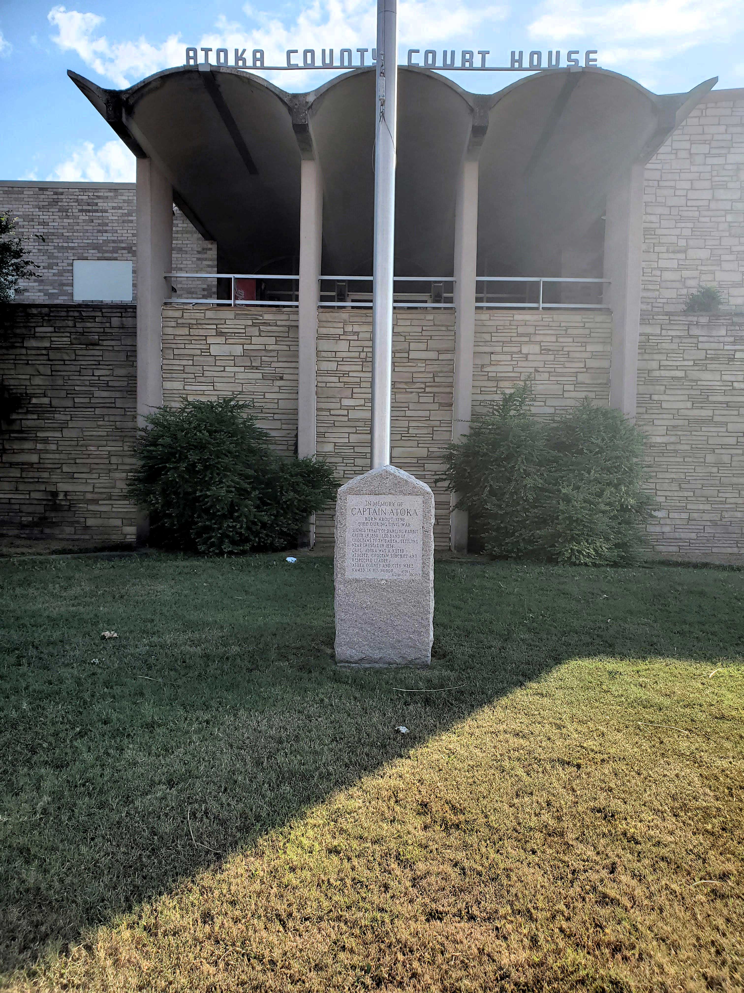
Captain Atoka
Atoka CountyLocation: on grounds of Atoka County Courthouse in Atoka
Coordinates: 34.385550, -96.126833
Material: Granite
Sponsor(s): Atoka Historical Society
Topics: American Indians; Government; Westward Expansion, 1803–1861
In memory of Captain Atoka. Born about 1792. Died during Civil War. Signed the Treaty of Dancing Rabbit Creek in 1830. Led band of Choctaws to this area, settling near Crystal in 1834. Captain Atoka was a noted athlete, Choctaw subchief and respected leader. Atoka County and the City of Atoka were named in his honor.
View image
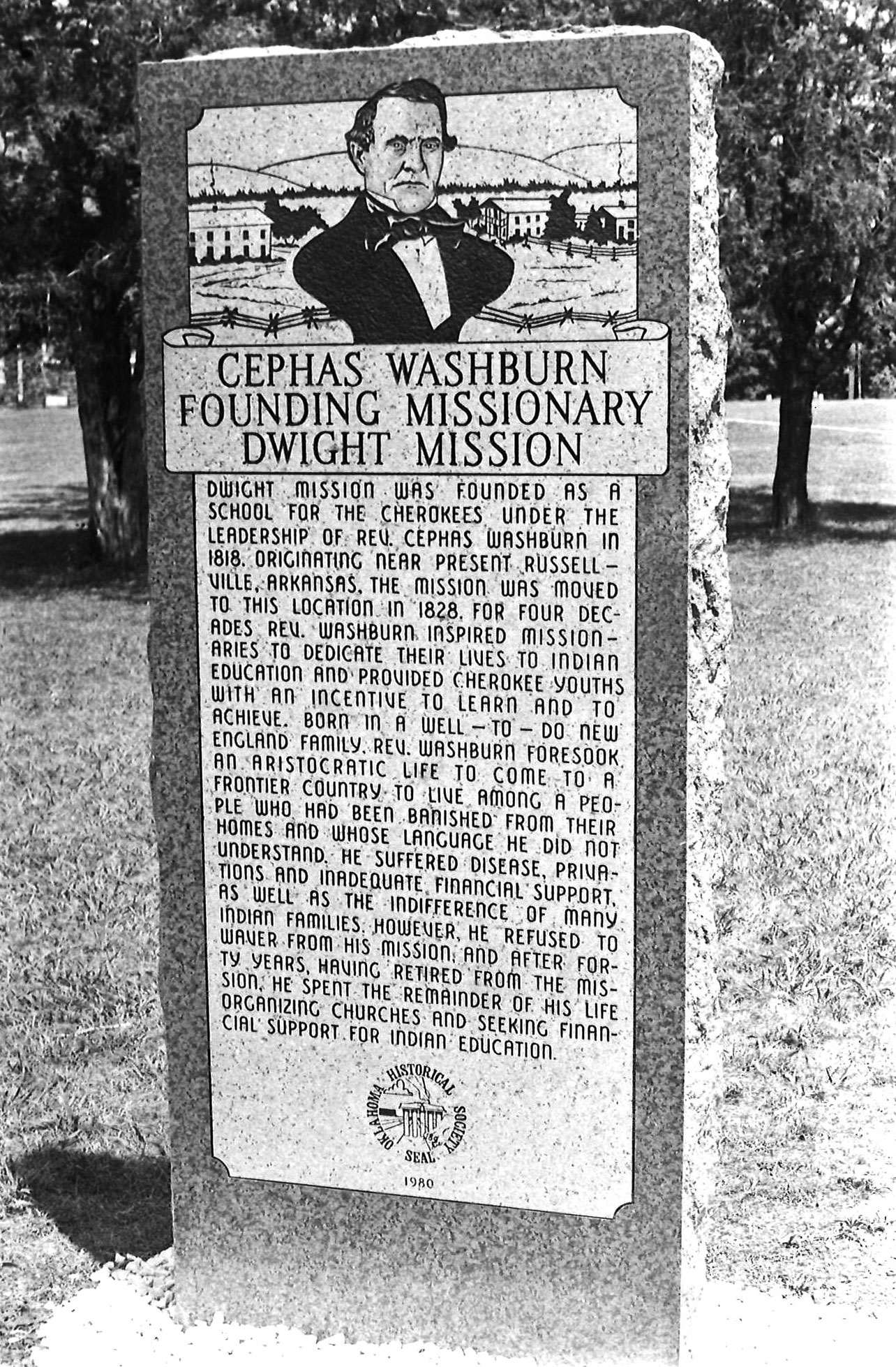
Cephas Washburn
Sequoyah CountyLocation: on grounds of Dwight Mission site, approximately three miles southwest of Marble City
Coordinates: 35.551400, -94.845900
Material: Granite
Sponsor(s): Dwight Mission Board of Directors and the Oklahoma Historical Society
Topics: American Indians; Education; Religion/Philosophy; Westward Expansion, 1803–1861
Dwight Mission was founded by the American Board of Commissioners for Foreign Missions as a school for Cherokees. Originally located in Arkansas, Reverend Cephas Washburn reestablished the mission in Indian Territory in 1829. For four decades, Washburn provided educational leadership among the Cherokees.
View image
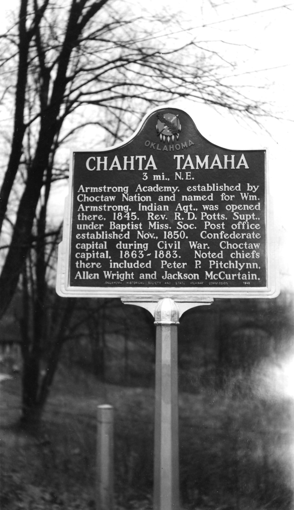
Chahta Tamaha
Bryan CountyLocation: US-70 at the eastern city limits of Bokchito
Coordinates: 34.016443, -96.130734
Material: Granite
Sponsor(s): Oklahoma Historical Society and the Oklahoma Department of Transportation
Topics: American Indians; Education; Government; Westward Expansion, 1803–1861
Site of Armstrong Academy, established by the Choctaw Nation in 1845 and run by Rev. R. D. Potts under the Baptist Missionary Society. Post office established November 1850 and capitol of Choctaw Nation from 1863 to 1883. Noted chiefs included Peter P. Pitchlynn, Allen Wright, and Jackson McCurtain.
Note: Marker text incorrectly refers to site as a “Confederate Capitol” during the Civil War.
View image
Charles Journeycake
Nowata CountyLocation: five miles south of OK-28/US-60 junction on OK-28
Coordinates: 36.626737, -95.485858
Material: Granite
Sponsor(s): Roberta Campbell Lawson and Herbert Lockhart Campbell
Topics: American Indians; Government; Religion/Philosophy; Territorial Period, 1861–1907
This marker commemorates the site of the residence of Reverend Charles Journeycake and his wife, Jane Sosha Journeycake. Rev. Journeycake was a Baptist minister and chief of the Delaware Indians. In 1866, he supported a treaty removing the Delawares from Kansas to Indian Territory. Under his leadership, the Delawares settled in Indian Territory on land purchased from the Cherokee Nation. Delaware Baptist Church was located near his home. He died on January 3, 1894.

View image

View image
Cherokee National Cemetery
Muskogee CountyLocation: on East Poplar Street in Fort Gibson
Material: Aluminum
Topics: American Indians; Government; Social/Cultural; Territorial Period, 1861–1907; Westward Expansion, 1803–1861
Before the Civil War, the Cherokees designated the cemetery as a national cemetery. The Cherokee Nation maintained the cemetery until 1906 when it was transferred to the town of Fort Gibson. Cherokee Principal Chief William P. Ross and other tribal leaders are buried here.
Cherokee-Seneca Boundary
Delaware CountyLocation: on US-59 at Buffalo Creek
Material: Aluminum
Topics: American Indians; Government; Settlement Patterns
In 1831, more than 400 members of the Seneca Tribe in Ohio gave up their reservation land in exchange for a tract of land in the northeastern part of the Cherokee Nation. This was the boundary between the Cherokee land and the Seneca territory that comprised an area of 67,000 acres, seven miles by fifteen miles.
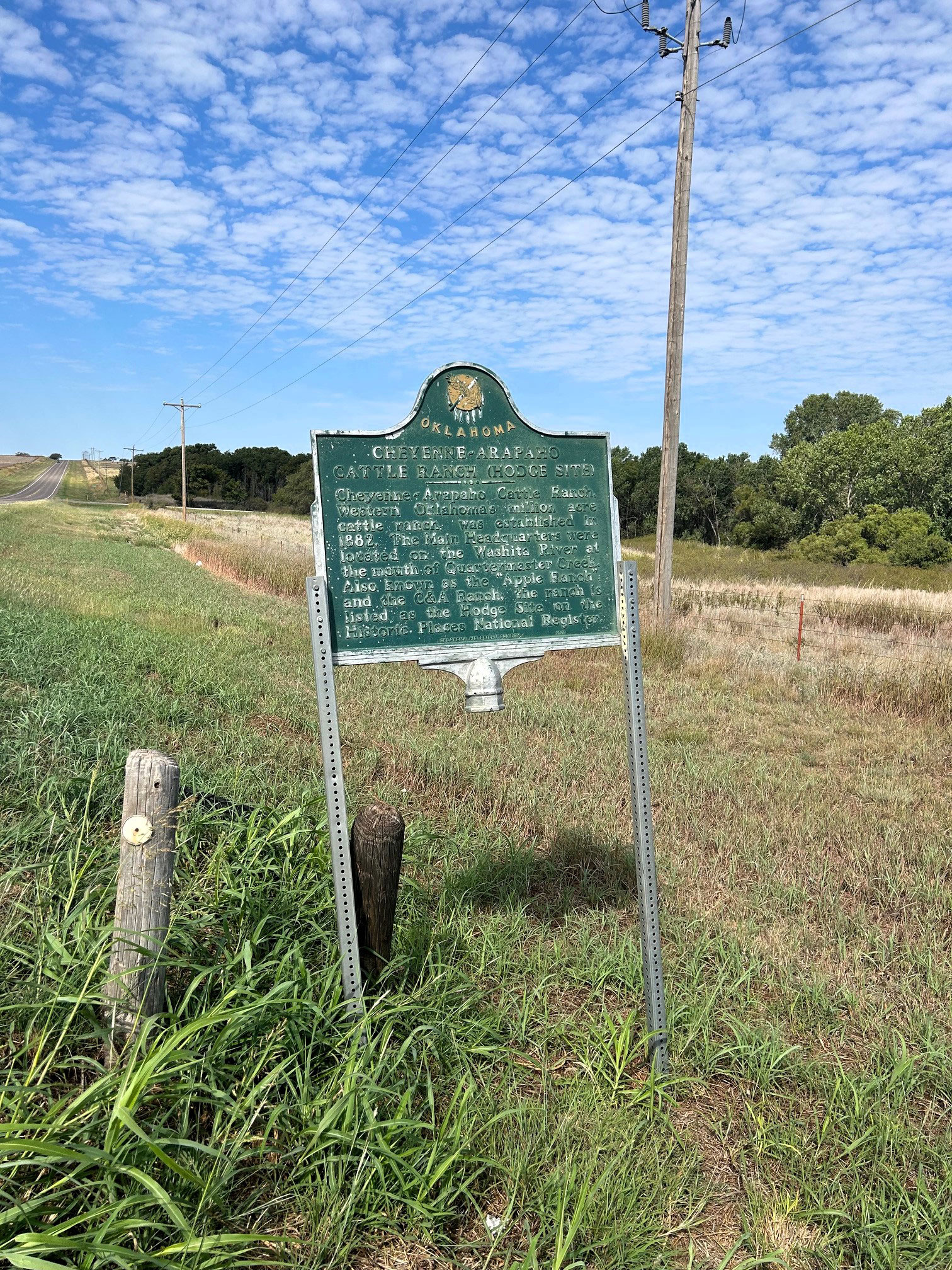
Cheyenne-Arapaho Cattle Ranch (Hodge Site)
Custer CountyLocation: on OK-33, three miles east of Hammon
Coordinates: 35.638807, -99.321835
Material: Aluminum
Sponsor(s): Oklahoma Historical Society and Custer County Historical Society
Topics: American Indians; Precontact; Ranching; Territorial, 1861–1907
The main headquarters for this million-acre ranch was on the Washita River at the mouth of Quartermaster Creek. The ranch, established in 1882, was also known as the Apple Ranch. Part of the ranch is listed in the National Register of Historic Places as the Hodge Archaeological Site.
Note: This marker is damaged.
View image
Chickasaw Council House
Johnston CountyLocation: in Chickasaw Museum, 200 North Fisher, Tishomingo
Topics: American Indians; Government; Social/Cultural; Territorial Period, 1861–1907; Westward Expansion, 1803–1861
A log cabin, now restored to near original condition, served as the official meeting place of Chickasaw leaders from 1856 until 1858 when a new brick building was constructed. Fire destroyed that building in 1890, and the final Chickasaw capitol, now the Johnston County Courthouse, was built in 1897.
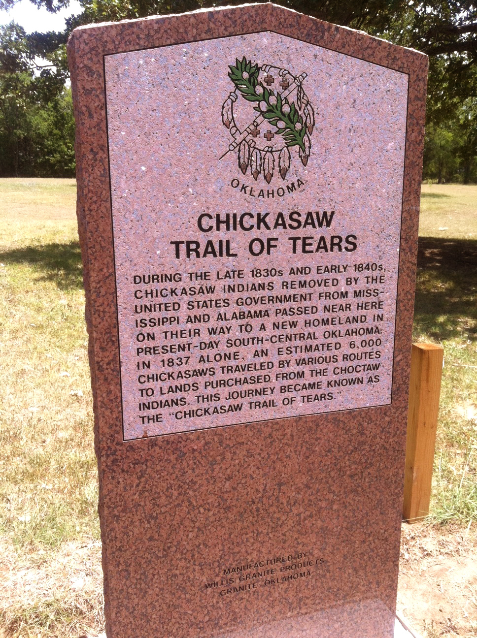
Chickasaw Trail of Tears
McCurtain CountyLocation: on US Hwy 70 between Broken Bow and Arkansas state line
Topics: American Indians; Government; Settlement Patterns; Transportation; Westward Expansion, 1803–1861
During the late 1830s and early 1840s, Chickasaws removed by the United States government from Mississippi and Alabama passed near here on their way to a new homeland in present-day south-central Oklahoma. In 1937 an estimated 6,000 Chickasaws traveled by various routes to lands purchased from the Choctaws. This journey became known as the Chickasaw Trail of Tears.
View image
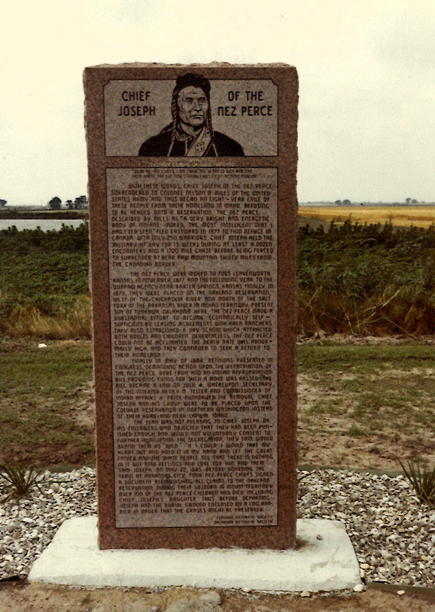
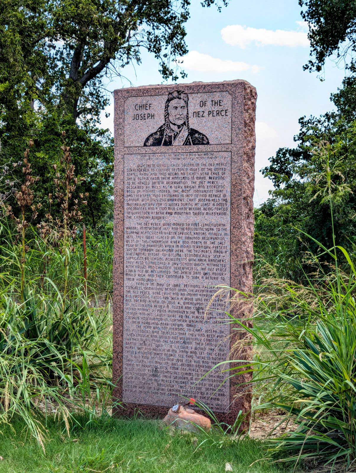
Chief Joseph of the Nez Perce
Kay CountyLocation: on US 60 approximately 2 miles east of Tonkawa
Coordinates: 36.688083, -97.267000
Material: Granite
Sponsor(s): Tonkawa Historical Society and Oklahoma Historical Society
Topics: American Indians; Settlement Patterns; Territorial Period, 1861–1907
After surrendering to the US military in 1877, the Nez Perce under Chief Joseph were relocated to Indian Territory as prisoners of war. At Oakland Agency (near present-day Tonkawa), the Nez Perce made a substantial effort to become economically self-sufficient by arranging leasing agreements with local ranchers. They also established a day school. The Nez Perce left Indian Territory in 1885. Over 100 Nez Perce children died during their time in Indian Territory, including Chief Joseph’s daughter.
View image
View image
Chief Left Hand/Jesse Chisholm
Blaine CountyLocation: at Jessie Chisholm’s gravesite near Left Hand Springs, approximately six miles northeast of Geary
Coordinates: 35.726170, -98.290304
Material: Granite
Sponsor(s): Oklahoma Historical Society
Topics: American Indians; Indian and Frontier Trade; Religion/Philosophy; Territorial Period, 1861–1907; Westward Expansion 1803–1861
This marker commemorates Chief Left Hand and Jesse Chisholm. Chief Left Hand was born in the 1840s near present Fort Supply. This noted warrior and survivor of the Sand Creek Massacre attended the Medicine Lodge conference in 1867, which resulted in the removal of his people to Indian Territory. He became principal chief of the Southern Arapaho in 1889. His allotment included this site, then known as Raven Springs, now Left Hand Springs. Jesse Chisholm was a merchant and trader who established a trail through western Indian Territory before the Civil War. Texas cattlemen used the trail until the late 1880s to move millions of cattle to northern markets. Chisholm died in March 1868. His burial site is near this marker’s location.
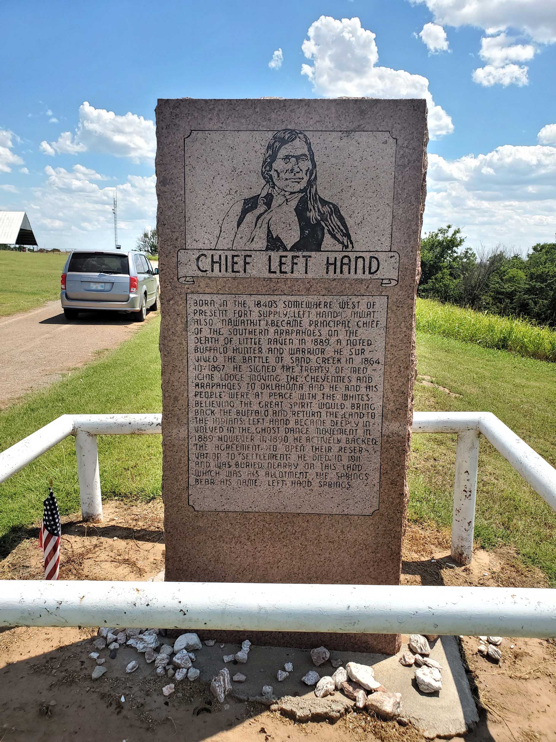
View image
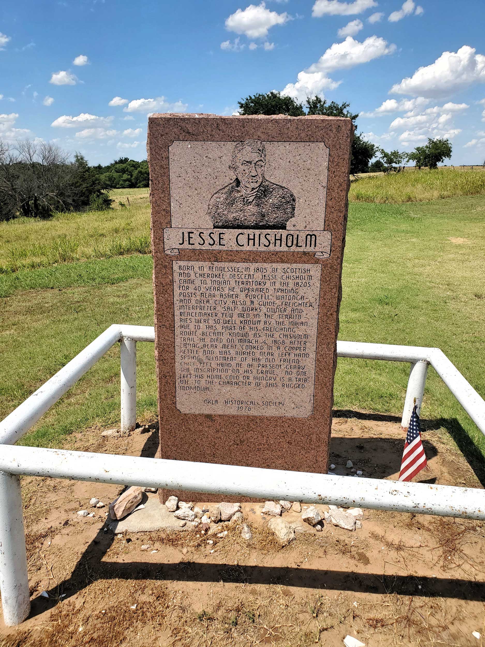
View image
Chief Mosholatubbee
Le Flore CountyLocation: in Hall Cemetery south of Cameron on Raymond Adams Road
Material: Granite
Topics: American Indians; Settlement Patterns; Westward Expansion, 1803–1861
Chief Mosholatubbee was one of three Choctaw chiefs who signed early treaties with the United States, including the 1830 Treaty of Dancing Rabbit Creek, which provided for the removal of the Choctaws to Indian Territory. He moved with his people to a new home off the Fort Towson Road, north of Sugar Loaf Mountain, and died August 3, 1838. In his honor, the Choctaw Nation region from the Arkansas River to the Winding Stair Mountains was called Mosholatubbee District.
Chief Pushmataha
Wagoner CountyLocation: on US-69, 1/4 mile north of Arkansas River bridge
Material: Granite
Topics: American Indians; Recreational/Service; Social/Cultural; Westward Expansion, 1803–1861
Chief Pushmataha led a Mississippi Choctaw hunting expedition to the area in January of 1807 and attacked armed men under the leadership of French trader Joseph Bogy. Pushmataha County, in southeastern Oklahoma, is named for this great Choctaw leader.
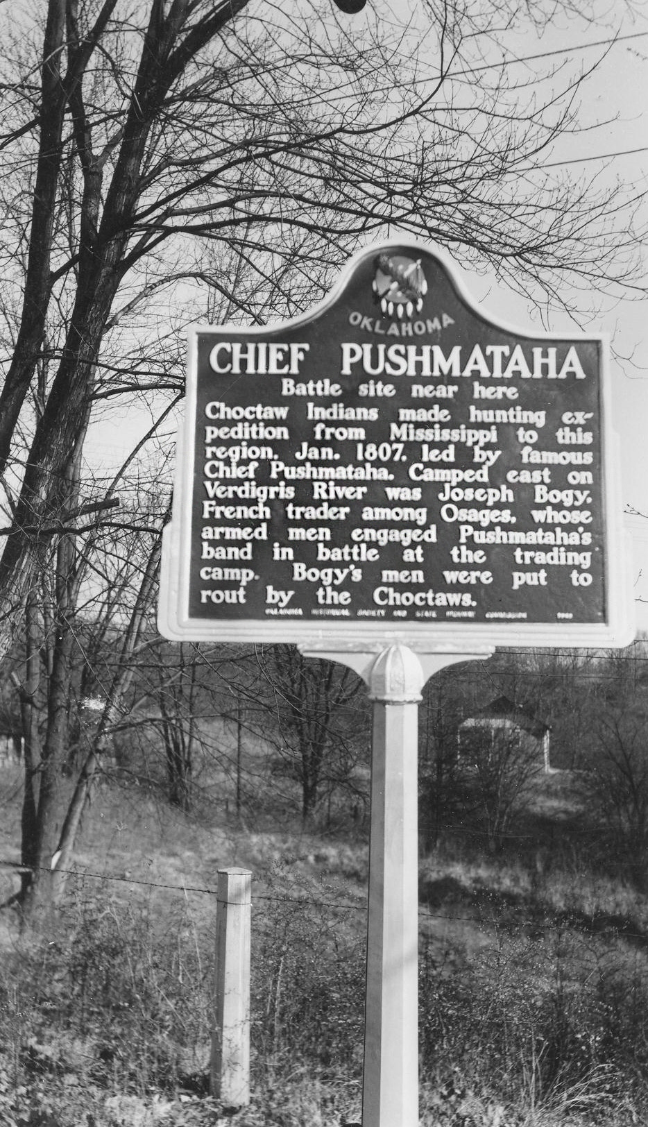
View image
Chief Sapulpa Cemetery
Creek CountyLocation: on East Taft Avenue near South Division Street in Sapulpa
Sponsor(s): Daughters of the American Revolution
Topics: American Indians; Indian and Frontier Trade; Social/Cultural; Territorial Period, 1861–1907
Chief Sapulpa Cemetery, one block south of the marker, is named for a full-blood Creek Indian named "Chief" Sapulpa, although he was not a chief. He owned an early trading post and was a Confederate officer in the Civil War. His real name was Sepulcher, but over time the name became corrupted to Sapulpa. The local DAR chapter purchased the burial ground in 1923.
Chief Stumbling Bear Pass
Comanche CountyLocation: on OK-58 north of Fort Sill Military Reservation
Coordinates: 34.807365, -98.524543
Material: Aluminum
Sponsor(s): Oklahoma Historical Society and the Oklahoma Department of Transportation
Topics: American Indians; Government; Settlement Patterns; Territorial Period, 1861–1907
Stumbling Bear, a Kiowa, was the last signer of the Medicine Lodge Treaty in 1867. Stumbling Bear founded the first permanent settlement of Plains Indians in the area. In 1877 the federal government built houses for the Indians on Canyon Creek, north of the Wichita Mountains.
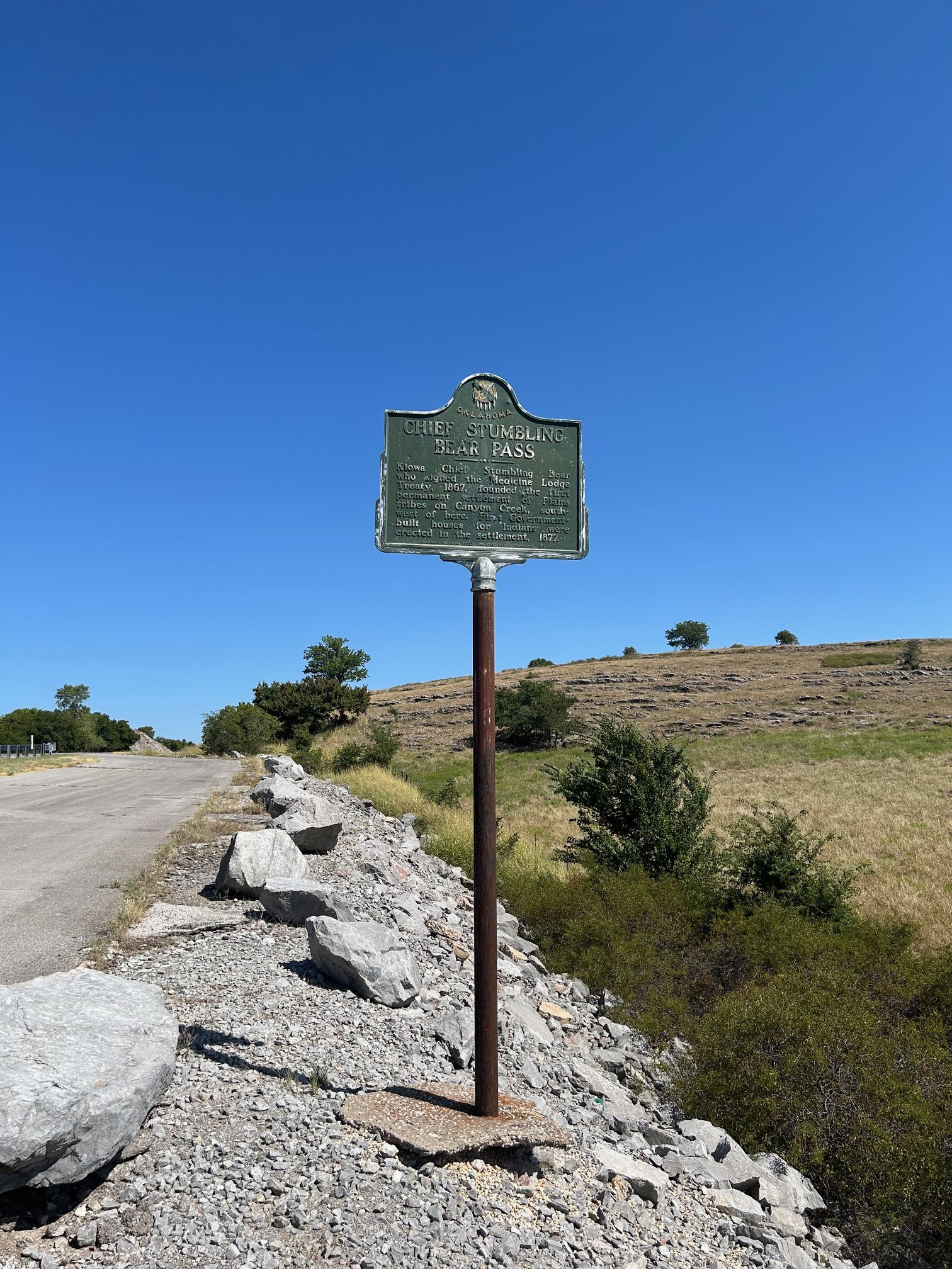
View image
Chief’s Old House
Choctaw CountyLocation: on county road, two miles northeast of Swink
Material: Granite
Sponsor(s): Swink Historical Preservation Association
Topics: American Indians; Family/Household; Settlement Patterns; Westward Expansion, 1803–1861
According to some this is the oldest house still standing in Oklahoma, having been built in 1832 by the federal government for Choctaw District Chief Thomas LeFlore under its treaty obligations with the Choctaw Nation. Recent scholarship indicates that the home built for LeFlore stood west of Wheelock Mission in McCurtain County. However, this old house is representative of a typical Choctaw planter's home in the mid-nineteenth century.
Note: This marker could not be located and is presumed missing.
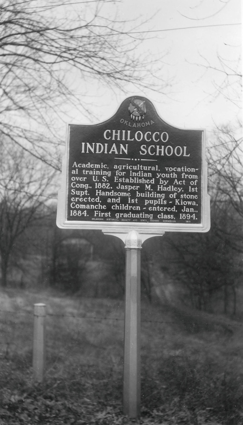
Chilocco Indian School
Kay CountyLocation: on US-77 at the Oklahoma-Kansas border
Coordinates: 36.998350, -97.045762
Material: Granite
Sponsor(s): Oklahoma Historical Society
Topics: American Indians; Education; Territorial Period, 1861–1907
Congress authorized this off-reservation school for Indian children in 1882. The school opened two years later, admitting children from tribes such as the Cheyenne, Arapaho, and Comanche. The first class at Chilocco graduated in 1894.
View image
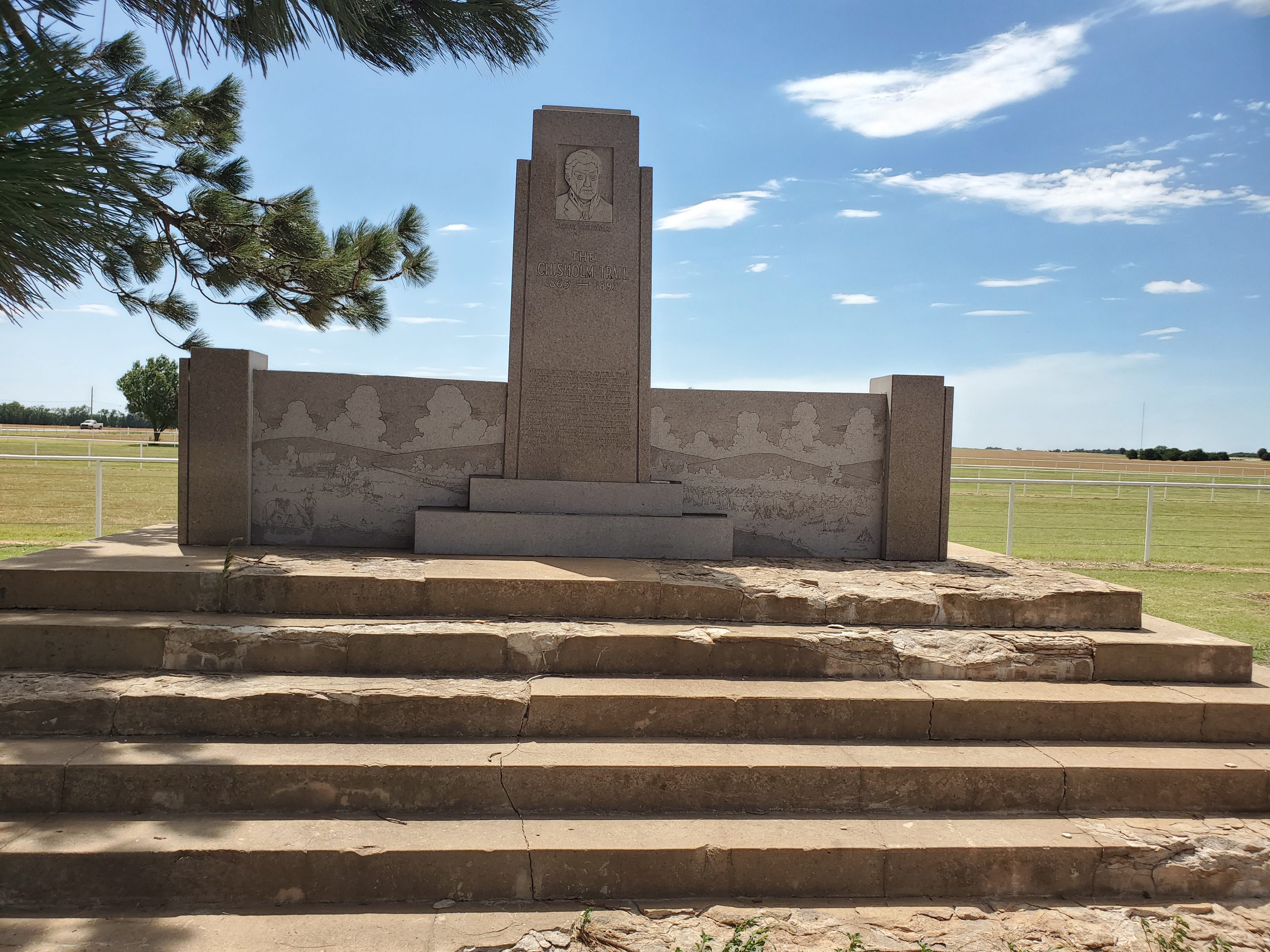
Chisholm Trail
Garfield CountyLocation: in Government Springs Park in Enid
Coordinates: 36.391002, -97.871987
Material: Granite
Sponsor(s): Jesse Chisholm Trail and Memorial Association
Topics: American Indian and Frontier Trade; American Indians; Territorial Period, 1861–1907; Transportation; Westward Expansion, 1803–1861
Here passed the old cattle trail, blazed by Jesse Chisolm, which finally stretched for eight hundred miles, from San Antonio, Texas, to Abilene, Kansas, over which cowboys from the pasturelands of the great southwest drove the herds to the railroads. Many tales of the adventure will perhaps remain untold with the passing of those who traveled the trail. To them, this memorial is dedicated, in the year 1945.
Note: Originally located approximately four miles north of Enid on US-64/US-81. Moved to Government Springs Park in Enid in September 2025.
View image

View image
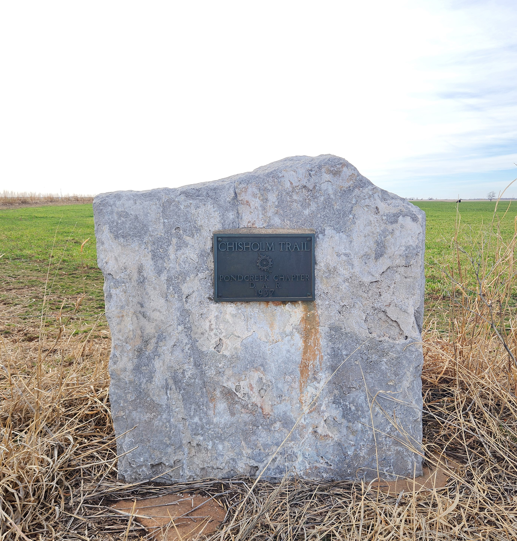
Chisholm Trail
Grant CountyLocation: One mile north of Pond Creek on Highway 81, on the west side of the road
Coordinates: 36.6807398,-97.804301
Material: Other (Stone with bronze plaque)
Sponsor(s): Daughters of the American Revolution
Topics: American Indian and Frontier Trade; American Indians; Ranching; Territorial Period, 1861–1907; Transportation; Westward Expansion, 1803–1861
A pioneer merchant, trader, and explorer, Jesse Chisholm, a Cherokee, established the trail through western Indian Territory before the Civil War. Texas cattlemen used the trail until the late 1880s to move millions of cattle to northern markets. The trail ran from Montague County, Texas, to Abilene, Kansas.
View image
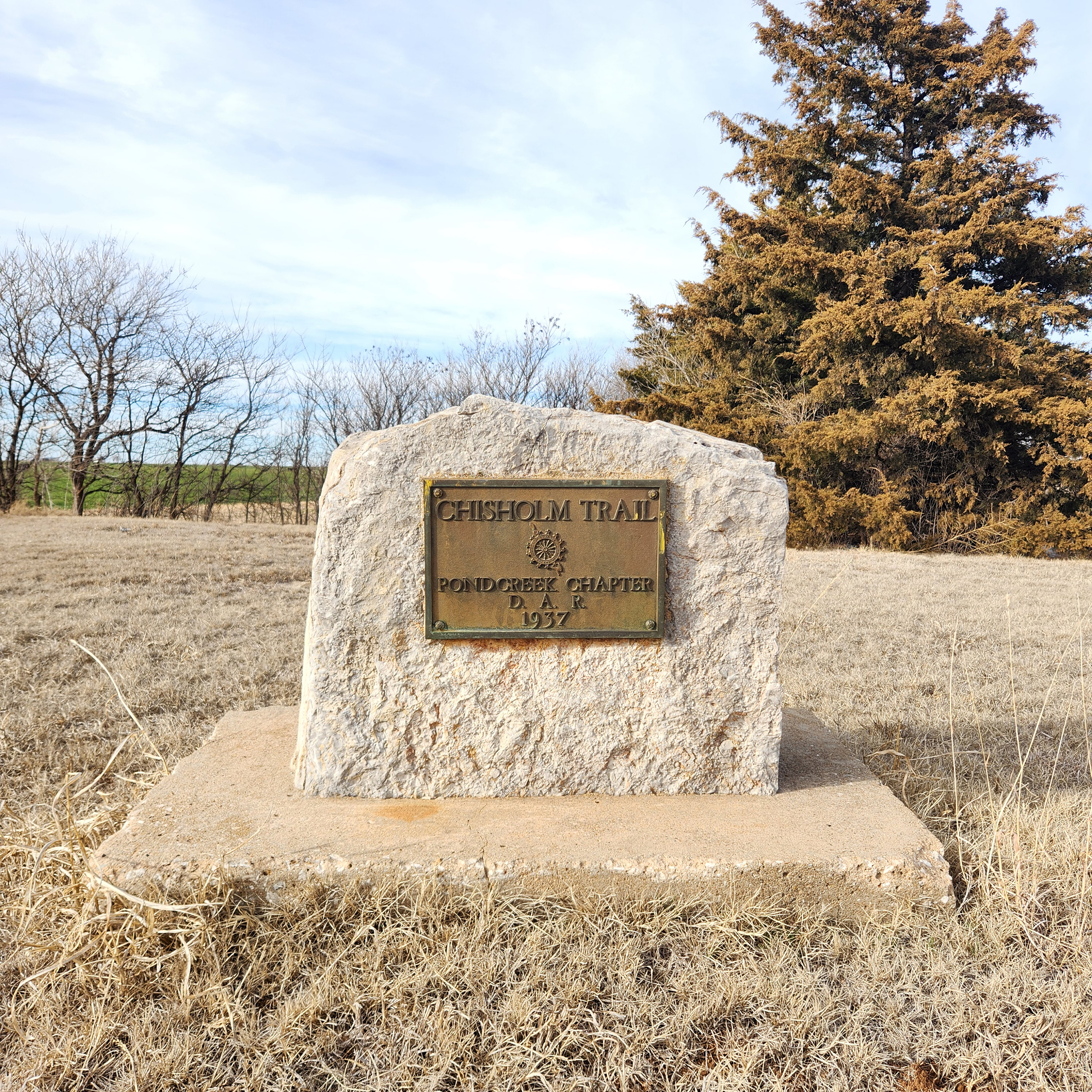
Chisholm Trail
Grant CountyLocation: Approximately 400 feet west of Eighth Street in Pond Creek on Highway 81, on the north side of the road
Coordinates: 36.666028, -97.812611
Material: Other (Stone with bronze plaque)
Sponsor(s): Daughters of the American Revolution
Topics: American Indians; Indian and Frontier Trade; Ranching; Territorial Period, 1861–1907; Transportation; Westward Expansion, 1803–1861
A pioneer merchant, trader, and explorer, Jesse Chisholm, a Cherokee, established the trail through western Indian Territory before the Civil War. Texas cattlemen used the trail until the late 1880s to move millions of cattle to northern markets. The trail ran from Montague County, Texas, to Abilene, Kansas.
View image
Chisholm Trail
Kingfisher CountyLocation: on US-81 at north edge of Dover
Material: Granite
Sponsor(s): Oklahoma Historical Society and the Oklahoma Department of Transportation
Topics: American Indians; Indian and Frontier Trade; Ranching; Territorial Period, 1861–1907; Transportation; Westward Expansion, 1803–1861
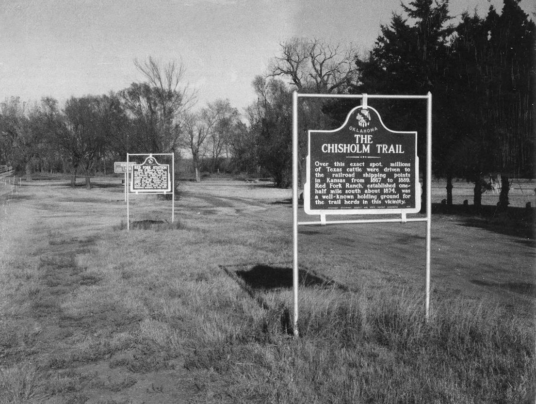
A pioneer merchant, trader, and explorer, Jesse Chisholm, a mixed-blood Cherokee, established a trail through western Indian Territory before the Civil War. Texas cattlemen used the trail until the late 1880s to move millions of cattle to northern markets. The trail ran from Montague County, Texas, to Abilene, Kansas.
Note: This marker could not be located and is presumed missing.
View image
Chitto Harjo, Creek Patriot
McCurtain CountyLocation: in front yard of home approximately five miles south of Smithville (SW 4 NE 4 SW 4 of S 3, T 2S, R25 E)
Material: Other (Concrete with bronze plaque)
Sponsor(s): Oklahoma Historical Society
Topics: American Indians; Folklife; Government; Social/Cultural; Territorial Period, 1861–1907; Westward Expansion, 1803–1861
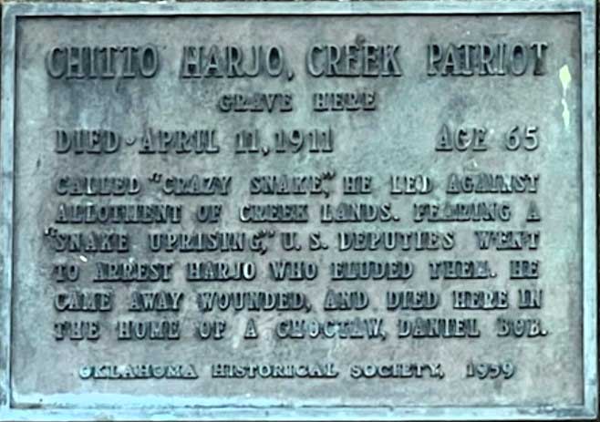
This Muscogee (Creek) leader opposed the allotment of tribal lands through various means, including lobbying federal officials, refusing to file for an allotment, and directly resisting government agents and the Creek National Council. This marker commemorates Harjo’s gravesite. He died here circa 1911 in the home of Choctaw citizen Daniel Bobb after a shootout at his home near Henryetta in 1909.
Note: Marker is located on private property.
View image
Choctaw Agency
Le Flore CountyLocation: on US-271, approximately one mile east of Spiro
Coordinates: 35.240469, -94.595410
Material: Granite
Sponsor(s): Oklahoma Historical Society and the Oklahoma Department of Transportation
Topics: American Indians; Government; Westward Expansion, 1803–1861
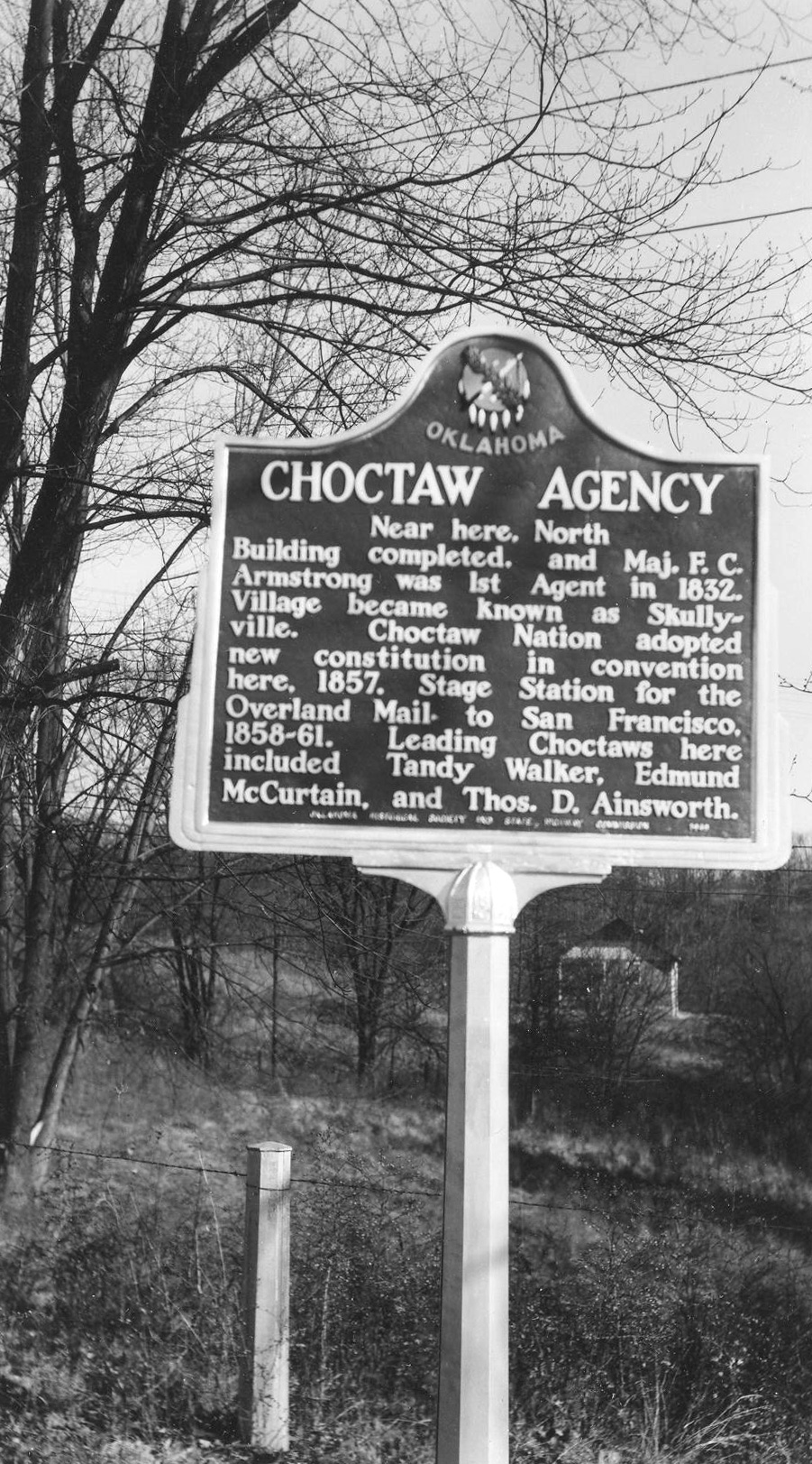
The first building to house Choctaw Indian agents at this location was completed in 1832. The village later was known as Skullyville where a new Choctaw constitution was adopted at a convention in 1857.
View image
Choctaw Capitol
Pushmataha CountyLocation: on US-271, 1 1/2 miles west of Tuskahoma
Material: Aluminum
Topics: American Indians; Government; Settlement Patterns; Social/Cultural; Transportation; Westward Expansion, 1803–1861
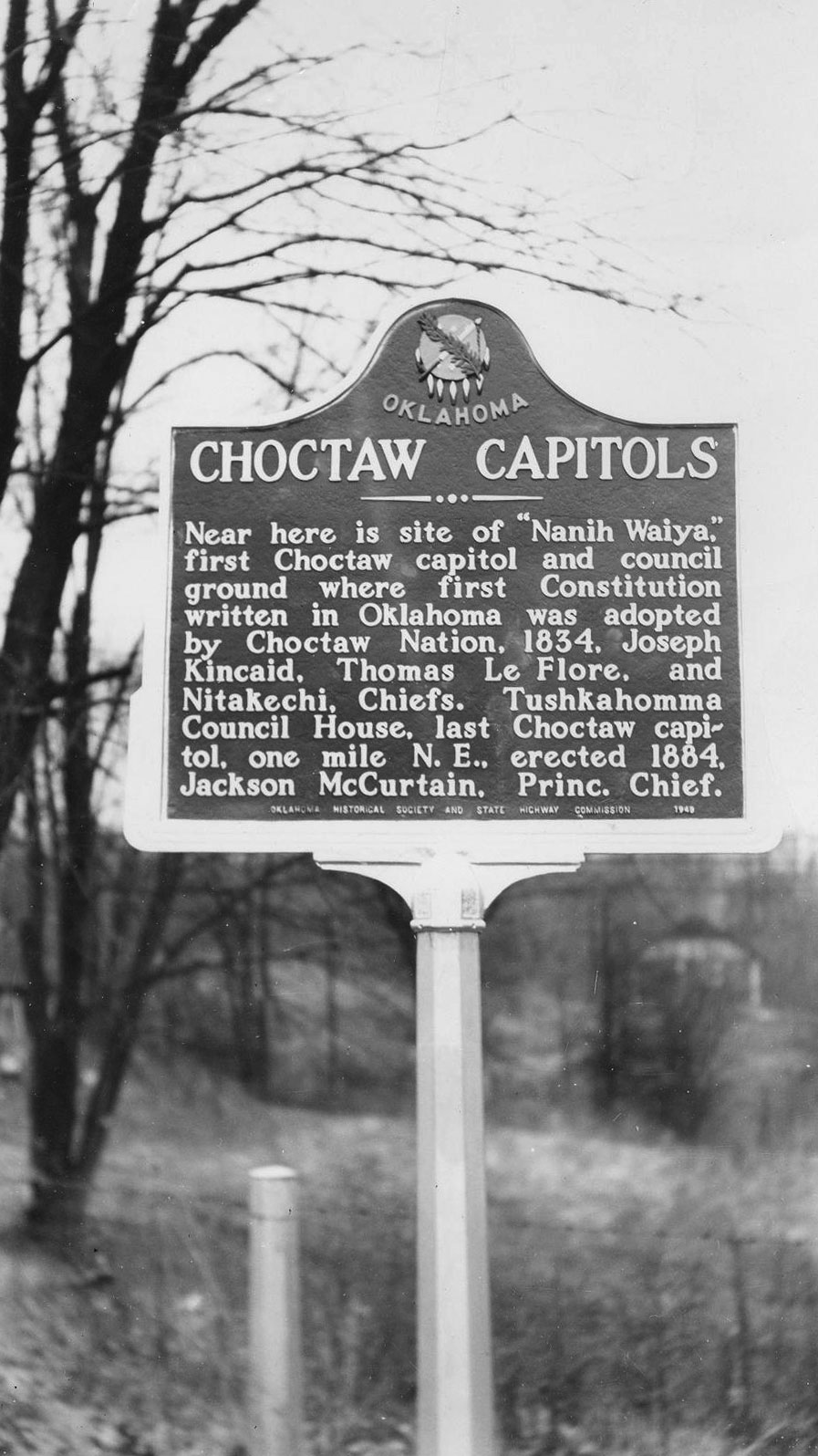
The first Choctaw capitol, Nanih Waiya, was completed in 1838. The first Choctaw constitution was written here in 1834. At Nanih Waiya are buried the bones of the Choctaws who died en route to Indian Territory from their ancestral homeland in Mississippi in the 1830s.
View image
Choctaw Chief Isaac Garvin
McCurtain CountyLocation: in Waterhole Cemetery three miles south of Garvin
Topics: American Indians; Family/Household; Government; Social/Cultural; Westward Expansion, 1803–1861
Garvin served as principal chief of the Choctaws from 1879 to his death in 1880.
Choctaw Chief Thomas LeFlore
McCurtain CountyLocation: one mile west of Wheelock Mission on private land
Topics: American Indians
Leflore, chief of the Apuckshunnubbe District of the Choctaw Nation, 1834–1838 and 1842–1850, lived in a home built here under the 1830 Treaty of Dancing Rabbit Creek. He died in 1859 and was buried in a family cemetery nearby.
Choctaw Chief’s House
Choctaw CountyLocation: on grounds of house, two miles northeast of Swink
Coordinates: 34.023164, -95.181443
Material: Other (Concrete with bronze plaque)
Sponsor(s): Oklahoma Historical Society and the Daughters of the American Revoluntion
Topics: American Indians; Family/Household; Settlement Patterns; Westward Expansion, 1803–1861
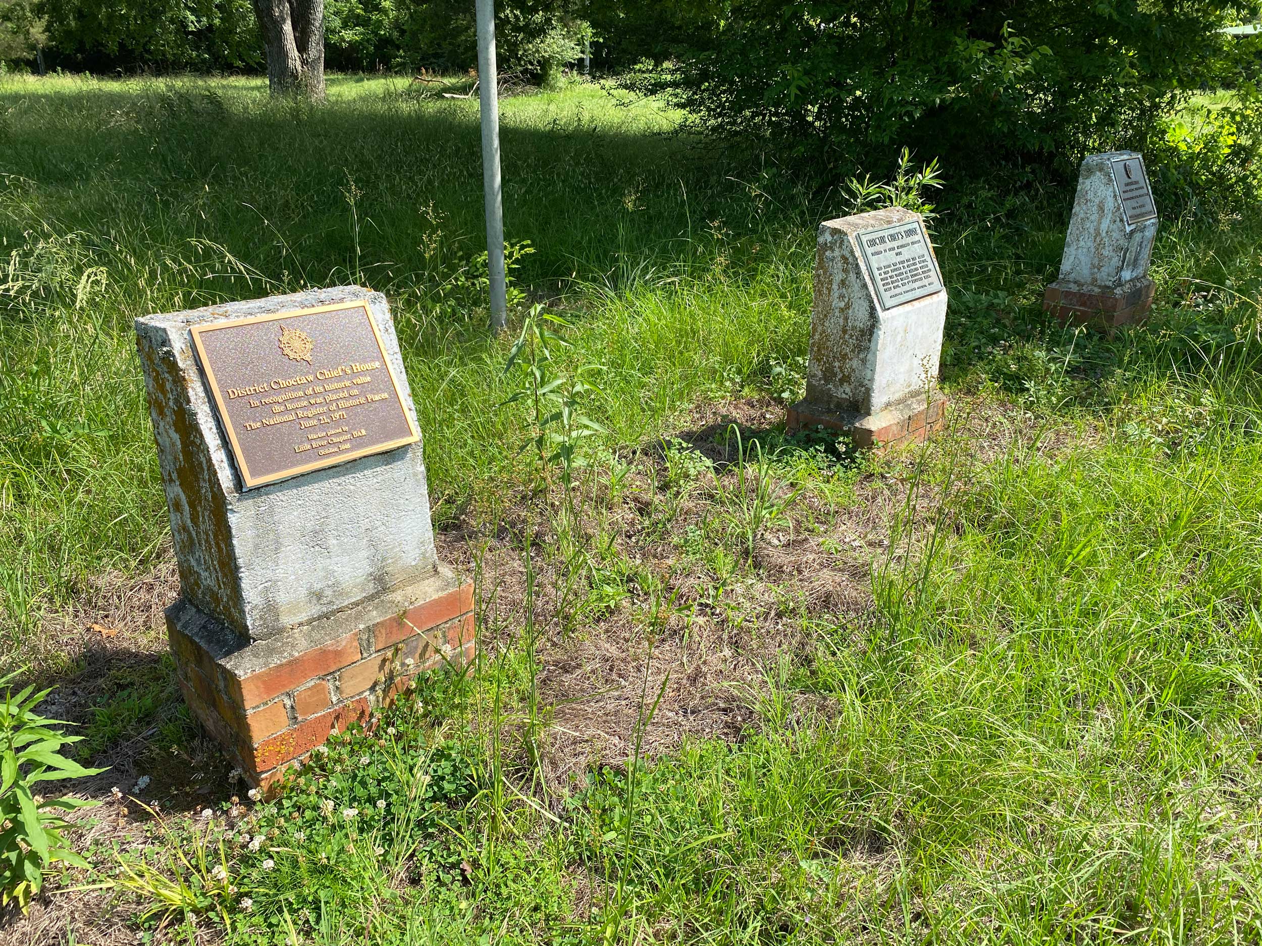
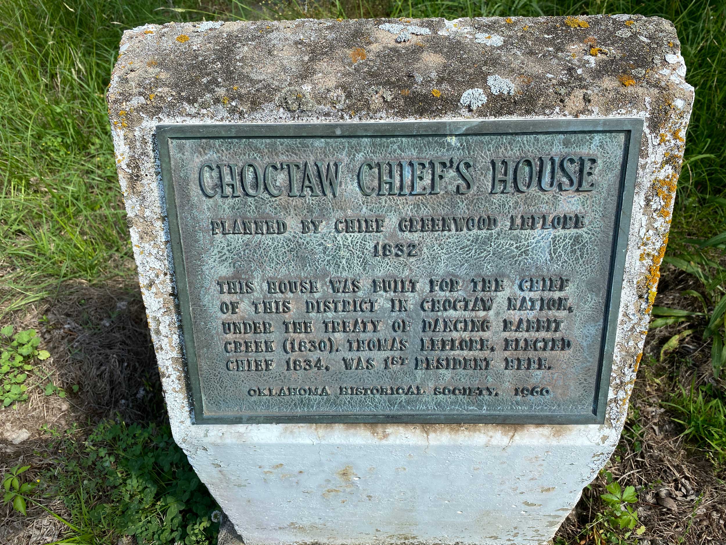
Three concrete markers commemorate what was once known as Choctaw Chief’s House. This house was originally believed to have been constructed for Choctaw District Chief Thomas LeFlore in 1832 per terms of the Treaty of Dancing Rabbit Creek (1830). Subsequent research uncovered that Chief LeFlore’s House likely stood west of Wheelock Mission in McCurtain County. See “Chief’s Old House.” Also see Louis Coleman, “The Choctaw Chief’s House: Oral Tradition and Historical Inaccuracies,” The Chronicles of Oklahoma 81, No. 4 (Winter 2003–04): 492–501. Markers’ sponsors include the Oklahoma Historical Society and Daughters of the American Revolution.
View image
View image
Choctaw Nation Capitol Building
Pushmataha CountyLocation: on OK-2, one mile north of US-271 junction
Topics: American Indians; Government; Territorial Period, 1861–1907
The last Choctaw capitol was erected here in 1884. The tribal government was housed in the building until statehood. The Choctaw Nation's headquarters are now located in Durant.
Choctaw Trail of Tears
McCurtain CountyLocation: at a point on US Hwy 70 near Broken Bow, Oklahoma
Topics: American Indians; Government; Settlement Patterns; Social/Cultural; Transportation; Westward Expansion, 1803–1861
During the early 1830s, Choctaw Indians removed by the United States government from Mississippi passed near here on their way to new homes in present-day Oklahoma. An estimated 15,000 Choctaws traveled by steamboat, wagon, and on foot to Oklahoma. Approximately one-quarter of the tribe perished from cold, disease, and starvation during the removal journey. This journey became known as the "Choctaw Trails of Tears.
Choctaw-Chickasaw Woman’s Missionary Union
Pittsburg CountyLocation: at the intersection of Monroe Street and Strong Boulevard in McAlester (OBHC)
Topics: American Indians; Religion/Philosophy; Territorial Period, 1861–1907
Baptist women's work in Oklahoma began in 1876 with the organization of the Choctaw-Chickasaw Woman's Missionary Union.
Chouteau’s Post
Mayes CountyLocation: on public school grounds in Salina
Topics: American Indians; Indian and Frontier Trade; Military; Settlement Patterns; Westward Expansion, 1803–1861
Auguste Chouteau and his brother, Pierre, traded with the Arkansas band of Osage in the Three Forks area where the Arkansas, Verdigris, and Grand Rivers merge. Colonel A. P. Chouteau—Pierre's son and the fourteenth man to graduate from the US Military Academy at West Point— built a trading post on the Grand River in 1817, recognized as the oldest permanent American settlement in what became Oklahoma. He built a home near the trading post on the eastern bank of the Grand River.

View image
Claremore Mound
Rogers CountyLocation: approximately four miles north of Claremore on OK-88
Coordinates: 36.381983, -95.632867
Material: Granite
Sponsor(s): Oklahoma Historical Society
Topics: American Indians; Natural Resources; Westward Expansion, 1803–1861
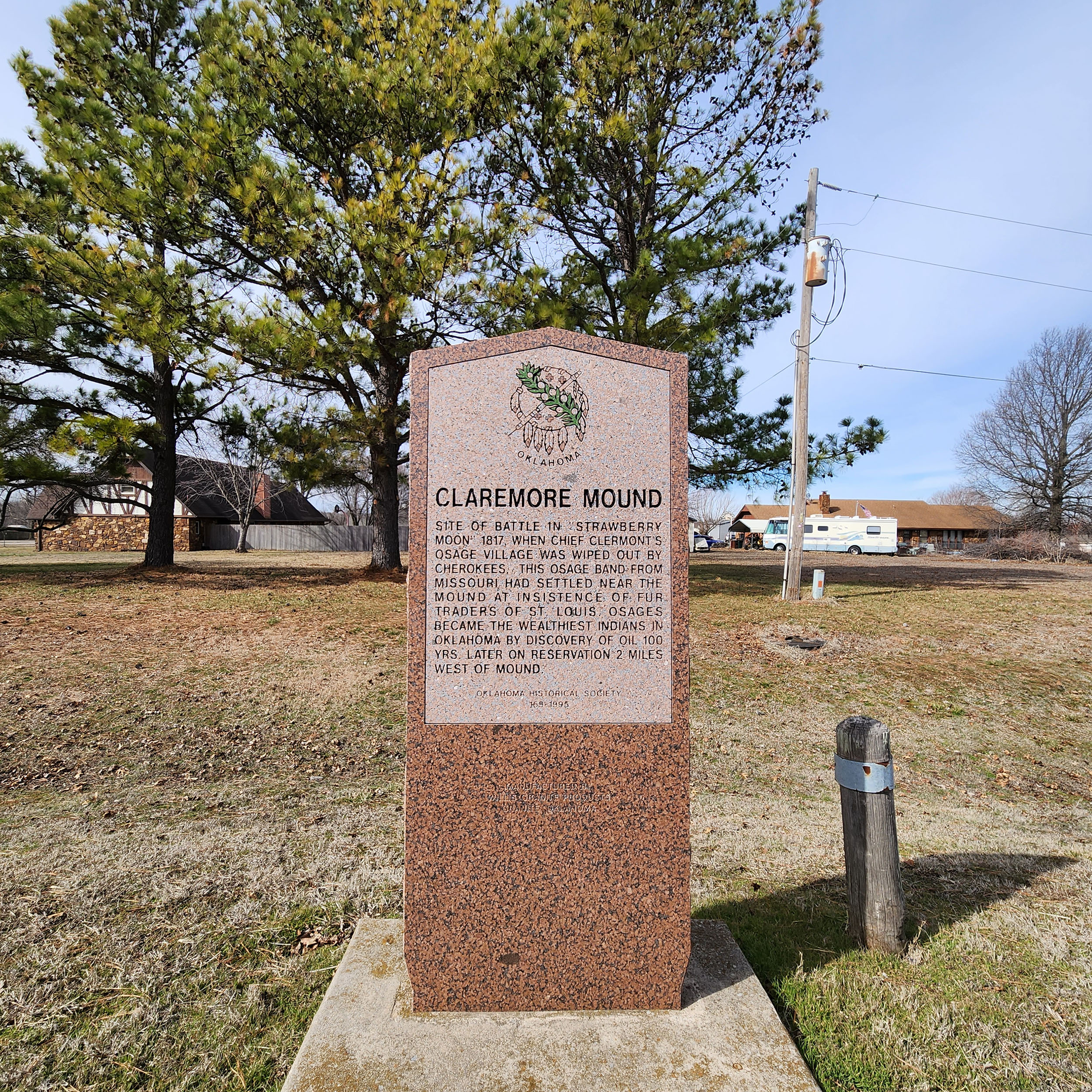
Named for Osage Chief Clermont, this area was the site of an Osage village destroyed by the Cherokees in 1817. The Osage had settled in the area under the insistence of fur traders from St. Louis. One hundred years later, oil was discovered west of Claremore Mound on the Osage Reservation.
View image

View image
Clement Vann Rogers
Rogers CountyLocation: on the grounds of the Will Rogers Birthplace Ranch, Oologah vicinity
Coordinates: 36.467200, -95.665550
Material: Granite
Sponsor(s): Oklahoma Centennial Commission
Topics: American Indians; Government; Territorial Period, 1861–1907
Born in the Going Snake District, Cherokee Nation, Clement (Clem) Vann Rogers was the only son of Sallie Vann and Robert Rogers Jr. He was educated in the Cherokee Nation. He married Mary America Schrimsher and served in the Cherokee Confederate Cavalry. Clem and Mary eventually established a 60,000-acre ranch in the Cooweescoowee District. In 1870 they built their log-walled white house on the Verdigris River, where Will Rogers was born in 1879. Clem served on the bench in the Cherokee Senate and at the Oklahoma Constitutional Convention. After Mary’s death in 1890, Clem moved to Claremore where he was active in politics, banking, and business. He is buried in Chelsea. Rogers County was named in his honor.
Cleveland-Pioneer Oil City
Pawnee CountyLocation: on US-64 and OK-99 in Cleveland
Topics: American Indians; Natural Resources; Petroleum; Territorial Period, 1861–1907; Urban Development
Cleveland, established in 1894, was named for President Grover Cleveland. It became an early boomtown after oil was discovered in the immediate vicinity and in nearby Osage County in the early twentieth century.
Colbert Family
Bryan CountyLocation: on OK-199, thirteen miles east of Madill in Fort Washita Cemetery
Material: Granite
Topics: American Indians; Government
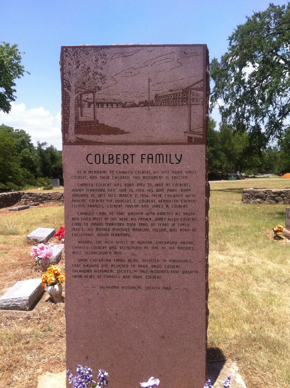
For 200 years, some of the most famous tribal leaders of the Chickasaw Nation came from this family. Their leadership abilities were well-known and utilized during negotiations with the federal government. The marker is a tribute to Charley Colbert, auditor of the Chickasaw Nation.
View image
Colbert’s Ferry
Bryan CountyLocation: on OK-91/N Franklin Street in Colbert
Coordinates: 33.853621, -96.502471
Material: Aluminum
Sponsor(s): Oklahoma Historical Society and the Oklahoma Department of Transportation
Topics: American Indians; Government; Social/Cultural; Transportation; Westward Expansion, 1803–1861
Colbert’s Ferry, authorized by the Chickasaw Nation, was located about three miles south of the present town of Colbert on the Red River. Benjamin F. Colbert owned the ferry, which was utilized by the Butterfield Overland Mail Route. The Colbert post office was established on November 17, 1853, by Walter D. Collins, postmaster.

View image
Colbert’s Ferry and Toll Bridge
Bryan CountyLocation: in Colbert Family Cemetery, approximately 2.5 miles south of Colbert
Coordinates: 33.817220, -96.515880
Material: Granite
Sponsor(s): Oklahoma Historical Society
Topics: American Indians; Early Statehood, 1907–1941; Territorial Period, 1861–1907; Transportation; Westward Expansion, 1803–1861
There are two low-lying granite markers at this location. One marker commemorates Colbert’s Ferry, which was operated by Benjamin F. Colbert and authorized by the Chickasaw Nation in 1853. It conveyed wagons, passengers, and livestock across the Red River. From 1857 to 1861, the ferry served as a stage station for the Butterfield Overland Mail Route. The other marker commemorates Colbert’s Toll Bridge, which was a wagon bridge constructed in 1874. It was destroyed almost one year later due to a flood and rebuilt in 1892. The bridge was rebuilt again after a flood in 1908 and served as a toll bridge until 1931.
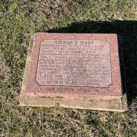
View image
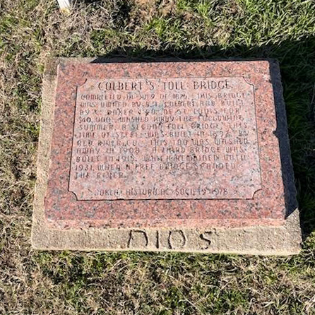
View image
The Cooper Site
Woodward CountyLocation: Fort Supply
Sponsor(s): Leland Bement
Topics: American Indians; Environmental/Cultural; Pre-European Contact, before 1541 AD; Recreational/Service; Social/Cultural
Two miles northeast of here is the Cooper Paleo-Indian bison kill site. The site was the scene of three of the largest Folsom (ca. 10,500 years ago) bison kills known. Each event saw more than thirty bison herded into a dead-end gully. Hunters on the gully rim killed the animals with spears tipped with finely crafted Folsom points. A bison skull beneath the second kill was painted with red zigzag lines to ensure a successful hunt. The mineral pigment was red hematite. This is the oldest painted skull in North America and is the earliest evidence of hunting ritual for the Plains region.
Council Grove
Oklahoma CountyLocation: near Northwest Tenth Street and East Overholser Drive in Oklahoma City
Coordinates: 35.479047, -97.663289
Material: Other (Stone with bronze plaque)
Sponsor(s): Daughters of the American Revolution
Topics: American Indians; Indian and Frontier Trade; Military; Territorial Period, 1861–1907; Westward Expansion, 1803–1861
Jesse Chisholm opened a trading post in Council Grove in 1858. Col. Bonneville escorted Congressman J. S. Phelps through Council Grove to meet with the Comanche in 1859. In 1865 Comanche and Kiowa met with Confederate leaders. Barracks were constructed on site to house soldiers to clear timber for the construction of Fort Reno in 1884. Council Grove opened to settlement in 1889.
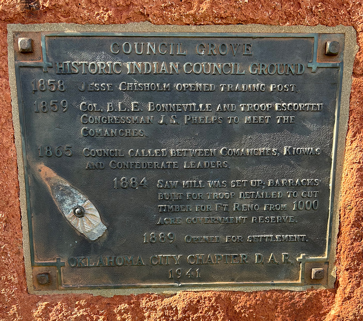
View image

View image
Council Grove
Oklahoma CountyLocation: 820 North MacArthur Boulevard in Oklahoma City
Coordinates: 35.475143, -97.618764
Material: Aluminum
Sponsor(s): WesTen District and the Oklahoma Historical Society
Topics: American Indians; Environmental/Cultural Ecology; Indian and Frontier Trade; Military; Ranching; Settlement Patterns; Territorial Period, 1861–1907; Westward Expansion, 1803–1861
Council Grove was heavily wooded with cottonwood and elm trees, creating an ideal meeting place for the Muscogee (Creek), Kiowa, and Comanche nations. Jesse Chisholm, a trader of Scottish and Cherokee descent, opened a trading post in Council Grove in 1858. Chisholm encouraged cattle rancher Montford T. Johnson (Chickasaw) to establish a ranch in the area. Vicey Hermon (or Harmon, Chickasaw) managed the ranch, also known as “Johnson’s Grove,” which became known as the first permanent settlement in present Oklahoma City. In 1874 the federal government established a military reservation within Council Grove to provide wood for the construction of Fort Reno. David Payne established a boomer camp in Council Grove in 1880. In 1885, William Couch announced his intentions to colonize present Oklahoma County near Johnson’s ranch, only to be removed by the US cavalry. All of Council Grove except for the military reservation was opened to settlement on April 22, 1889. The Council Grove military reservation opened to settlement in December 1899.

View image
Craterville Park
Comanche CountyLocation: on OK-115 north of Cache
Coordinates: 34.643587, -98.632631
Material: Aluminum
Sponsor(s): Frank Rush III and the Oklahoma Historical Society
Topics: American Indians; Early Statehood, 1907–1941; Industrial Period, 1941–1982; Recreation/Service; Social/Culture
Frank S. Rush established Craterville Park in 1923. It became the premier family entertainment venue in southwest Oklahoma. The Craterville Park Indian Fair, established in 1924, featured American Indian crafts, powwows, and sports. The expansion of Fort Sill in 1956 forced Craterville Park’s relocation to a site north of Altus near Quartz Mountain State Park.
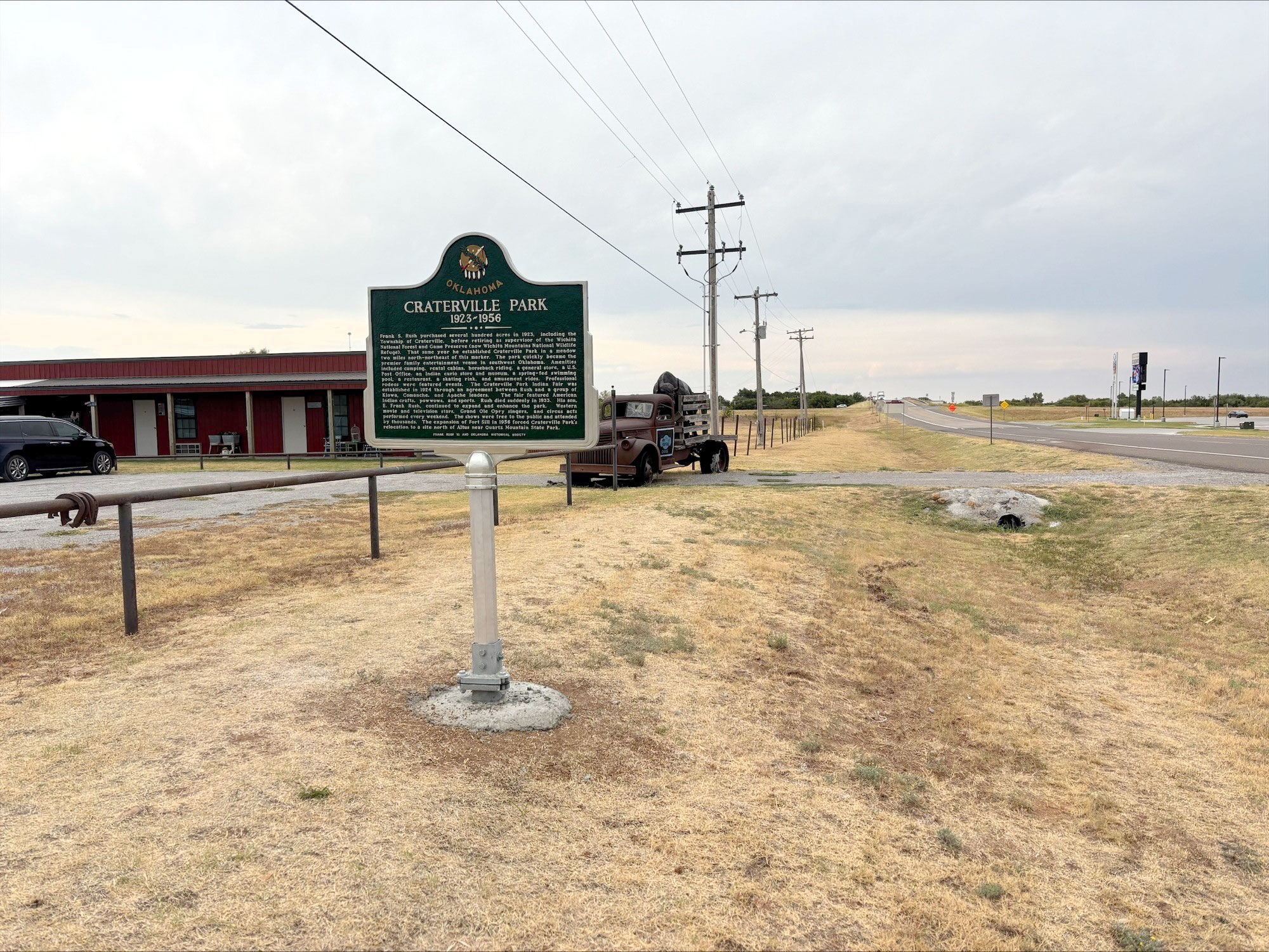
View image
Creek Capitol/Creek Council House
Okmulgee CountyLocation: on the grounds of the historic Creek Council House in Okmulgee
Coordinates: 35.623040, -95.972120
Material: Various
Sponsor(s): Multiple sponsors
Topics: American Indians; Government; Territorial Period, 1861–1907
There are multiple markers at this location to commemorate Okmulgee as the capitol of the Muscogee (Creek) Nation. The stone Creek Council House building was constructed in 1878 and has since been restored to serve as a museum. The Okmulgee Constitution was written here in 1870. Sponsors of markers include the Daughters of the American Revolution, Oklahoma Historical Society, and Muscogee (Creek) Nation.

View image

View image
Creek Council Ground
McIntosh CountyLocation: on Foley Hill west of Eufaula
Material: Other (Concrete with bronze plaque)
Sponsor(s): Oklahoma Historical Society
Topics: American Indians; Government; Military
Confederate Commissioner Albert Pike met with (Muscogee) Creek leaders at North Fork Town, now covered by the waters of Lake Eufaula, on July 10, 1861, to sign a treaty in which the Muscogee pledged their support to the Confederacy in the Civil War.
Note: Marker could not be located and is presumed to no longer exist.
Creek Council Oak
Tulsa CountyLocation: southwest corner of West 15th Street and South Cheyenne Avenue in Tulsa
Coordinates: 36.140502, -95.989655
Material: Aluminum
Sponsor(s): Tulsa County Historical Society
Topics: American Indians; Government; Social/Cultural; Westward Expansion, 1803–1861
4 blocks south on the north side of 18th St. stands a great oak, focal point of the old Creek Ceremonial Grounds. Here, overlooking the Arkansas, in 1828, the Indians deposited ashes from their Alabama ancestral home, kindled a fire to begin anew in the west, thus founding present-day Tulsa.
Note: This marker no longer exists.
Custer’s Rendezvous
Kiowa CountyLocation: in Quartz Mountain State Park
Material: Granite
Topics: American Indians; Government; Military; Territorial Period, 1861–1907; Transportation
On March 5, 1869, General George Armstrong Custer and two cavalry regiments met a large supply train dispatched from Camp Supply by General Philip H. Sheridan. Three days earlier, Custer and his troops had departed Medicine Creek Camp, later Fort Sill, on an expedition against Plains Indians.
Cutthroat Gap Massacre
Kiowa CountyLocation: on OK-54, two miles south of Cooperton
Coordinates: 34.828696, -98.861303
Material: Granite
Sponsor(s): Kiowa Historical Society and Oklahoma Historical Society
Topics: American Indians; Westward Expansion, 1803–1861
In the early summer of 1833, an Osage war party attacked an undefended Kiowa camp nearby, killing many elderly men, women, and children. Most of the warriors had left the camp days earlier to hunt bison. It has been estimated that 150 Kiowas were killed. The Osage took two children captive and stole many horses. Little Bear recorded the massacre on his calendar as the “Summer That They Cut Off Their Heads,” acknowledging Osage raiders who put the heads of their victims in camp cooking pots. The site of the massacre later became known as Cutthroat Gap.
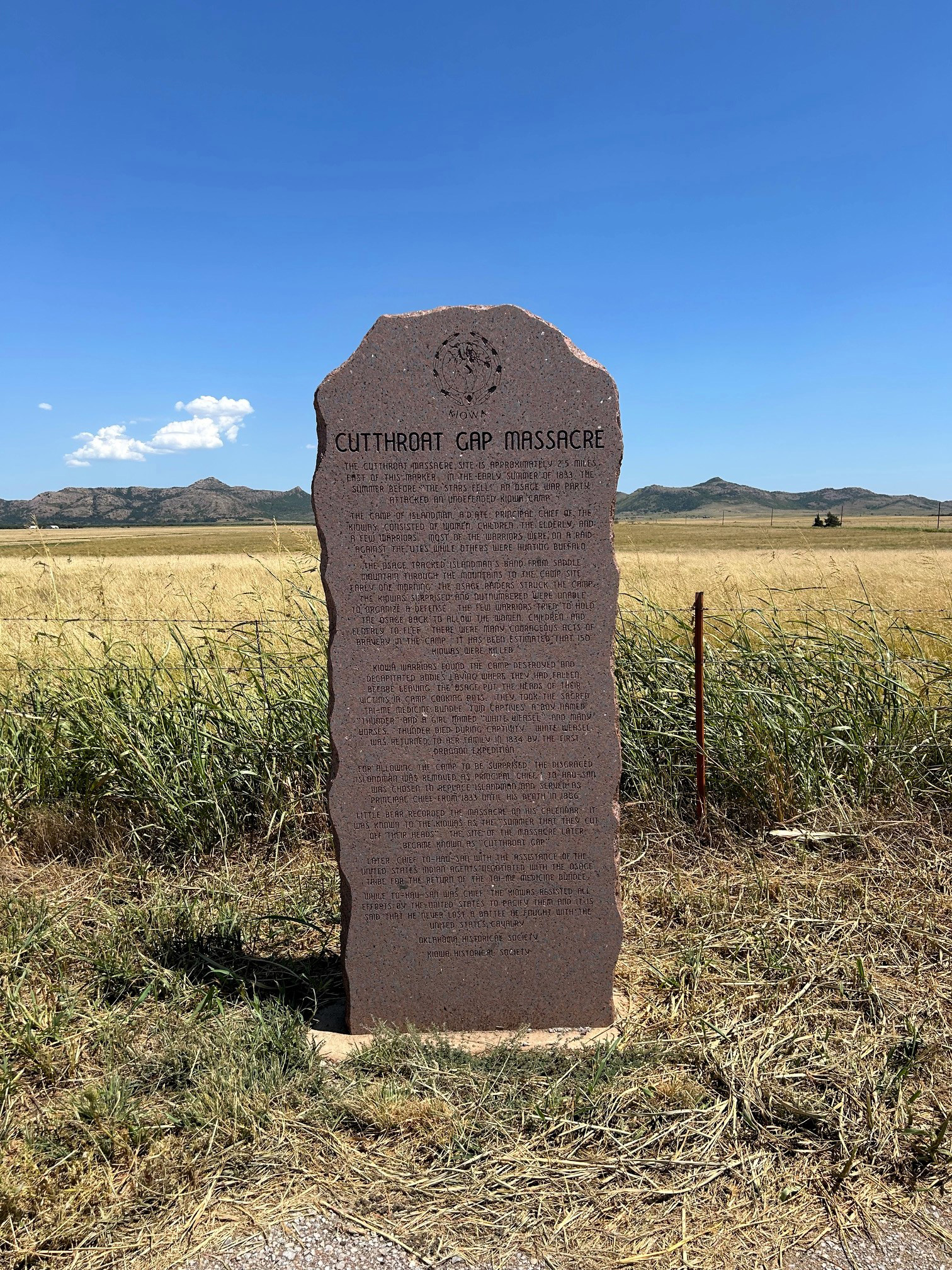
View image
Dalton Cave
Creek CountyLocation: on corner of Coonrod Drive and SH-51, Mannford
Sponsor(s): Keystone Crossroads Historical Society
Topics: American Indians; Environmental/Cultural Ecology; Folklife; Government
Located approximately 3.3 miles west is a cave where, according to the 1930s WPA Guide to Oklahoma, Creek Indian Tom Bartee sheltered and fed the Daltons when they were pursued by deputy US marshals.
Darlington
Canadian CountyLocation: on US-81, three miles north of El Reno
Coordinates: 35.586301, -97.958908
Material: Granite
Sponsor(s): Oklahoma Historical Society
Topics: American Indians; Government; Mass Communication; Territorial Period, 1861–1907
An important stop on the Chisholm Trail, the Cheyenne-Arapaho Agency was established at Darlington in 1870. The settlement is named for Brinton Darlington, a Quaker who was appointed Indian agent by President U. S. Grant. A post office opened in Darlington in 1873 and the first newspaper published in western Indian Territory, the Cheyenne Transporter, was printed in the community in 1879.
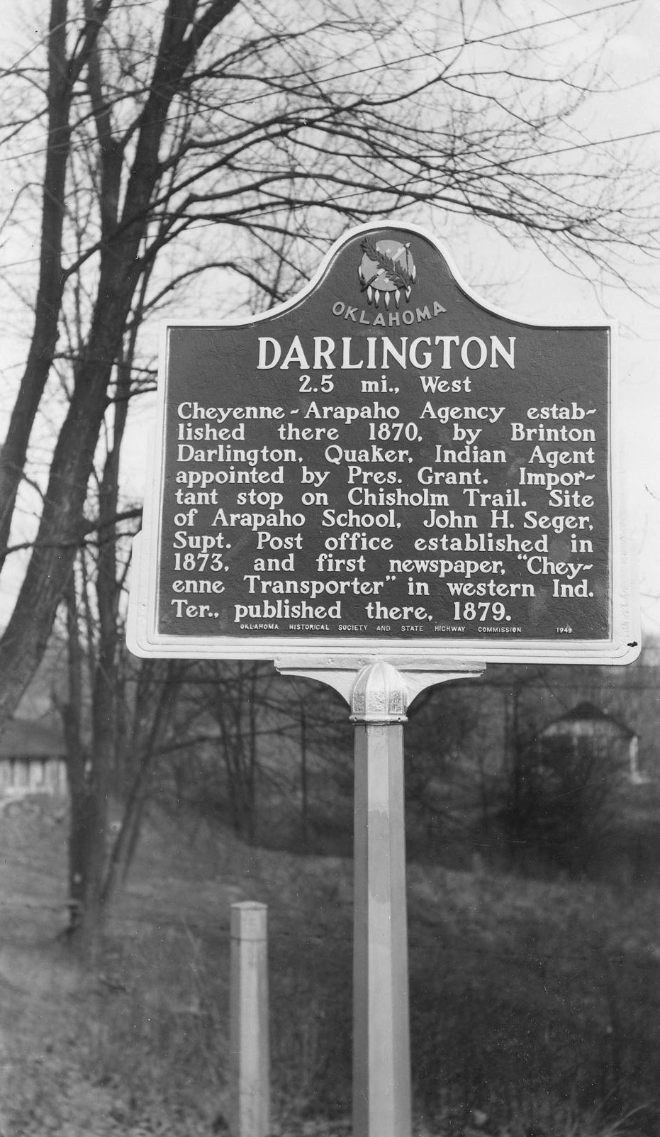
View image
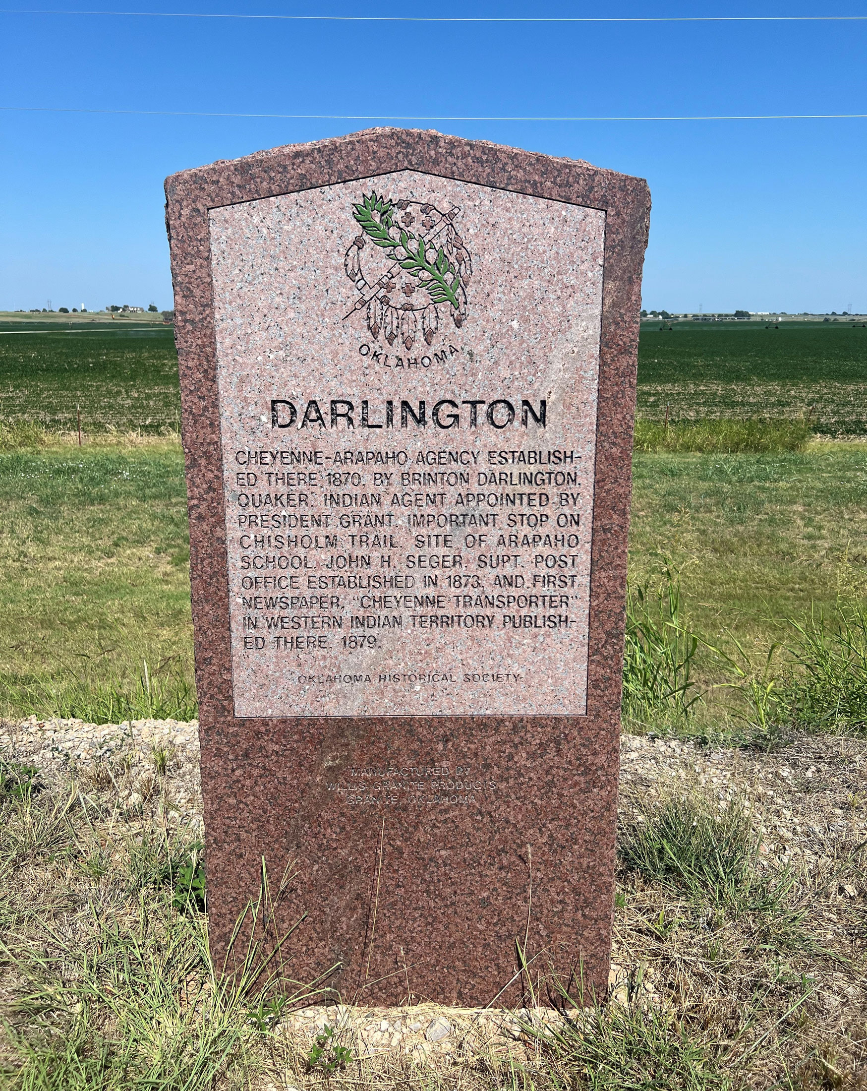
View image
Dave Blue Trading Post
Cleveland CountyLocation: at intersection of 48th Avenue Southeast and East Imhoff Road (OK-9) in Norman
Coordinates: 35.189750, -97.370517
Material: Aluminum
Sponsor(s): Cleveland County Historical Society
Topics: American Indians; Indian and Frontier Trade; Territorial Period, 1861–1907
Dave Blue was a trader in the 1870s who hired Cherokee and Creeks to kill wild buffalo. Blue shipped the hides to Atoka for transportation to market in the eastern United States. Blue's trading post was built along the Arbuckle Cattle Trail.
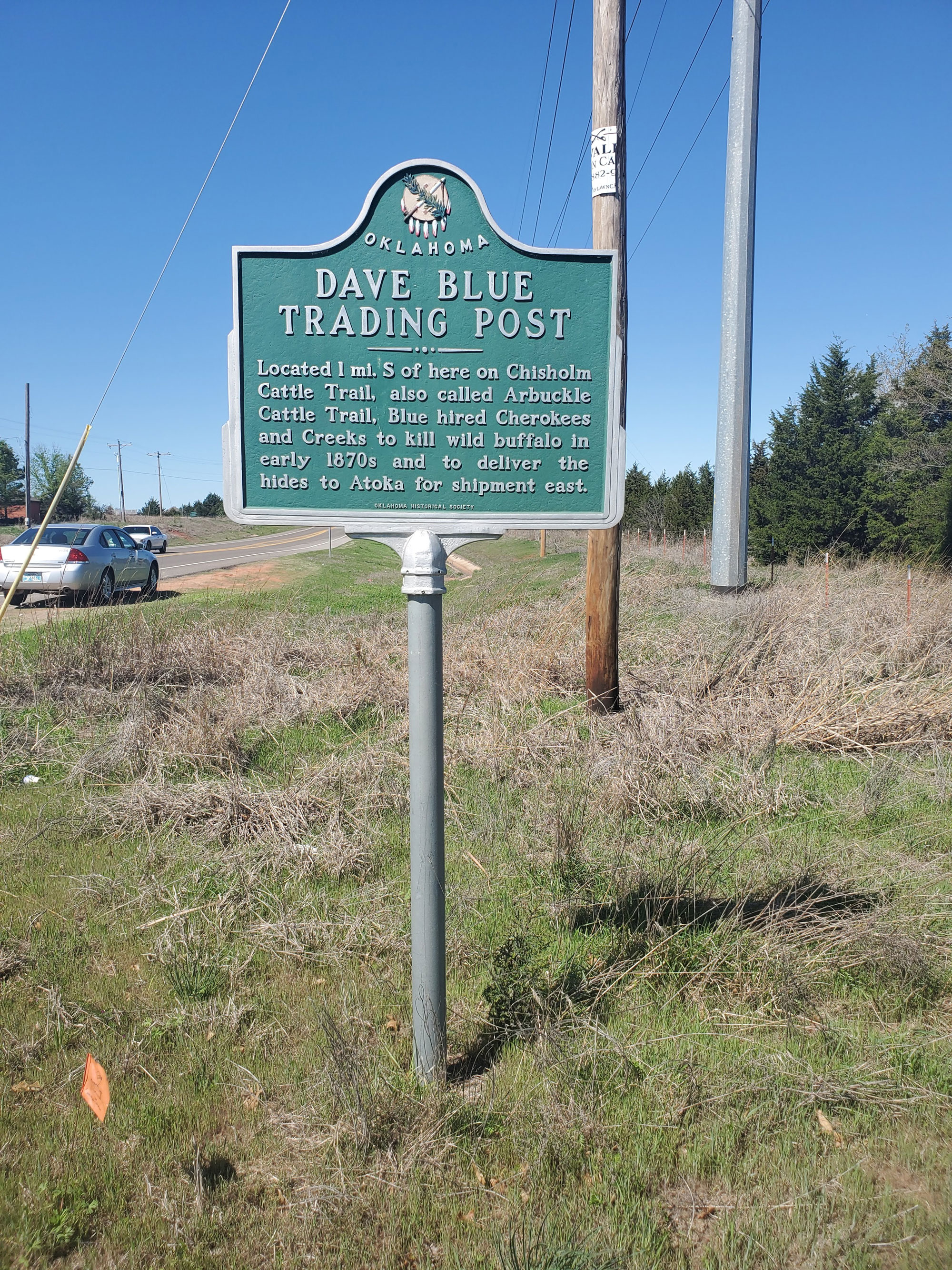
View image
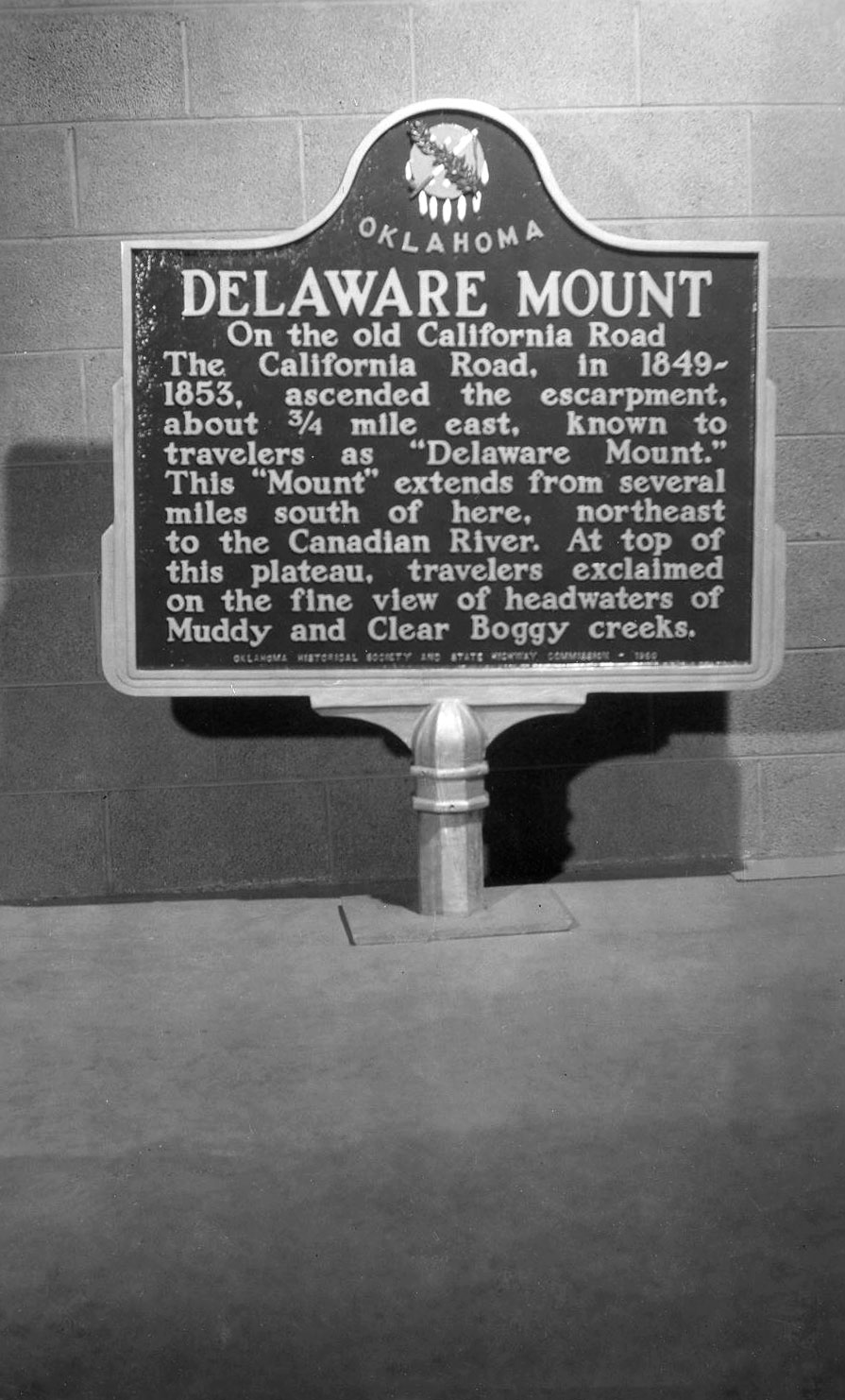
Delaware Mount
Pontotoc CountyLocation: approximately one-half mile south of Latta Public School on Latta Road (NS 3540), Ada vicinity
Coordinates: 34.747054, -96.705307
Material: Aluminum
Sponsor(s): Oklahoma Historical Society and the Oklahoma Department of Transportation
Topics: American Indians; Environmental/Cultural Ecology; Transportation; Westward Expansion, 1803–1861
This plateau dividing the headwaters of the Muddy Boggy and Clear Boggy Creeks and the valleys of Sandy Creek and the Canadian River has been referred to as Delaware Mount. Black Beaver’s band of Delaware were permitted to settle in the area by the Choctaw National Council in 1844. The plateau became a landmark for travelers on the California Road between 1849 and 1853.
View image
Deputy U.S. Marshal James Nakedhead
McIntosh CountyLocation: on OK-150 in Lake Eufaula State Park
Coordinates: 35.419127, -95.628342
Material: Granite
Sponsor(s): Sammy and Claudia Nakedhead and the Oklahoma Historical Society
Topics: American Indians; Government; Recreational/Service; Territorial Period, 1861–1907
James Nakedhead was a deputy US marshal killed in the line of duty in Indian Territory on February 27, 1895. A Cherokee policeman, he was the first town marshal of Tahlequah in 1890.

View image
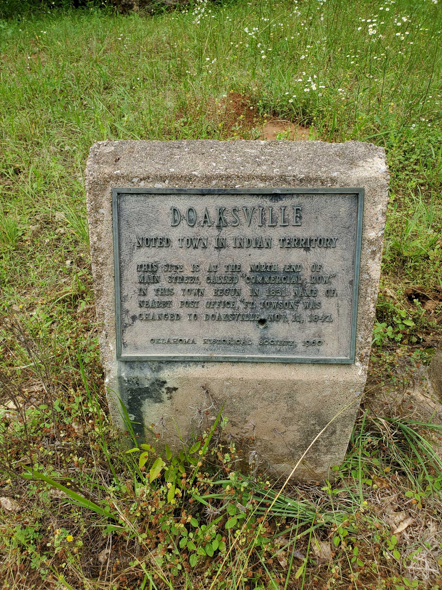
Doaksville
Choctaw CountyLocation: one mile north of Fort Towson on Red Road and east of Fort Towson Cemetery
Coordinates: 34.034867, -95.269867
Material: Other (Concrete with bronze plaque)
Sponsor(s): Oklahoma Historical Society
Topics: American Indians; Indian and Frontier Trade; Settlement Patterns; Westward Expansion, 1803–1861
This town was the commercial center of the region shortly after it was established by Josiah Doak in 1824. At one time it was the capital of the Choctaw Nation. The name of the post office at nearby Fort Towson was changed to Doaksville on November 11, 1847.
View image
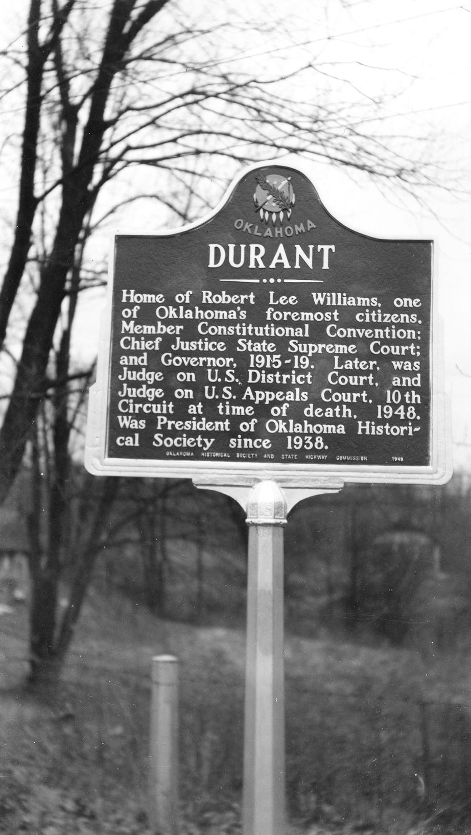
Durant
Bryan CountyLocation: on US-69 on north side of Durant
Topics: American Indians; Early Statehood, 1907–1941; Government; Territorial Period, 1861–1907
The town of Durant was named for Dixon Durant, member of a prominent Choctaw-French family in the Choctaw Nation. The first Durant post office was established on February 20, 1879. Durant was home to one of the state's greatest leaders, Robert Lee Williams, a member of the constitutional convention, chief justice of the Oklahoma Supreme Court, governor of Oklahoma, a federal district judge, and judge of the Tenth Circuit Court of Appeals.
View image
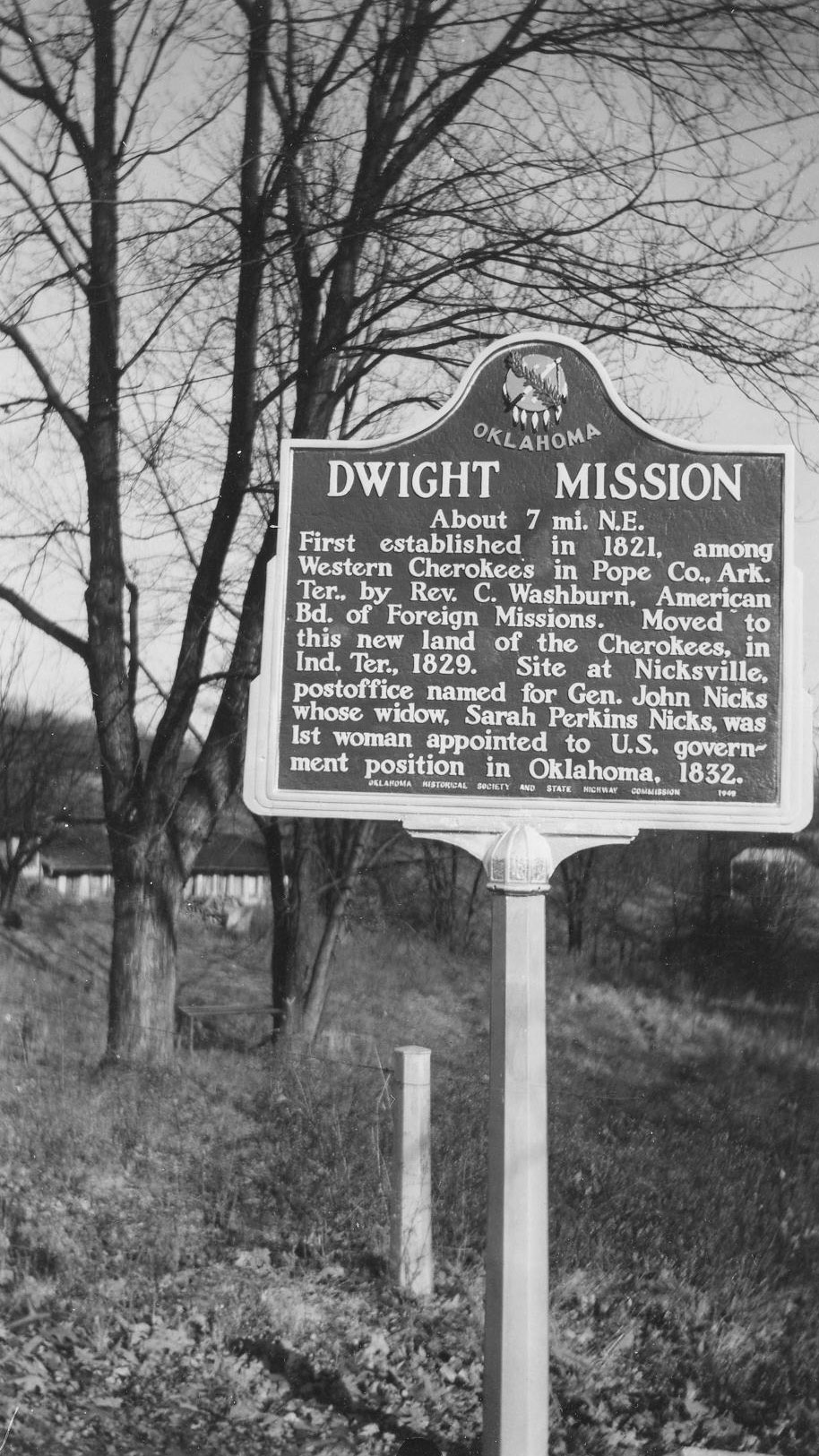
Dwight Mission
Sequoyah CountyLocation: on US-64, approximately four miles southeast of Vian
Coordinates: 35.463700, -94.880680
Material: Granite
Sponsor(s): Oklahoma Historical Society and the Oklahoma Department of Transportation
Topics: American Indians; Education; Religion/Philosophy; Westward Expansion, 1803–1861
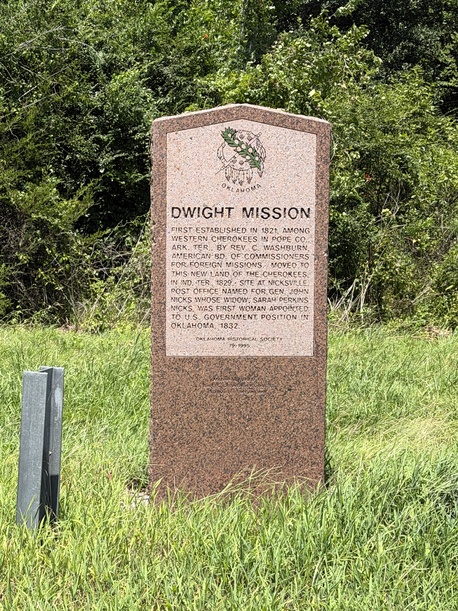
First established in 1821 in Arkansas, Reverend Cephas Washburn relocated Dwight Mission to new land in the Cherokee Nation in Indian Territory in 1829. This marker also acknowledges the site of Nicksville, named for Gen. John Nicks, whose widow, Sarah Perkins Nicks, was the first woman appointed to a US government position in present Oklahoma in 1832.
View image
View image
Eagletown
McCurtain CountyLocation: on US-70 west of Mountain Fork River at Eagletown
Material: Granite
Topics: American Indians; Early Statehood;, 1907–1941; Education; Ethnic Diversity; Government; Religion/Philosophy; Westward Expansion, 1803–1861
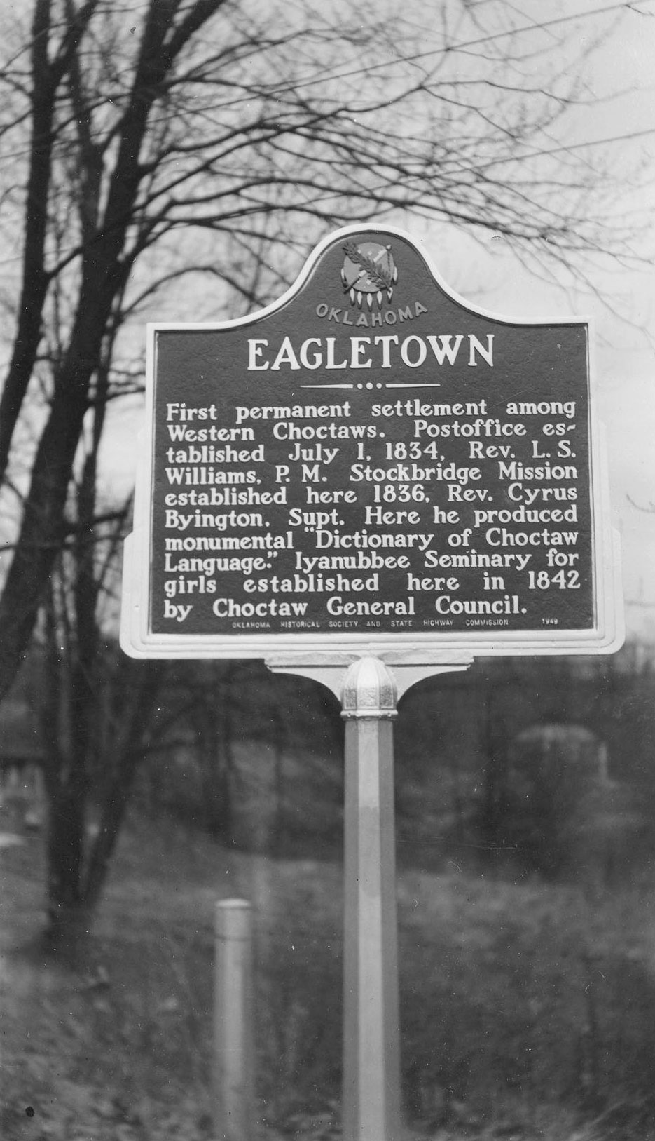
The first permanent settlement among Western Choctaws was west of Mountain Fork River, but the present town was platted east of the river in 1821. Oklahoma's first post office was established here on July 1, 1834.
View image
Edmund Pickens (Ok-chan-tubby)
Love CountyLocation: on OK-32 at Ennville
Coordinates: 33.981711, -96.987312
Material: Aluminum
Sponsor(s): Keel Cemetery Association and Oklahoma Historical Society
Topics: American Indians; Government; Settlement Patterns; Westward Expansion, 1803–1861
Born in Mississippi, Pickens was the first elected chief of the Chickasaw Nation after it was forcibly removed to Indian Territory in 1837. Pickens County in the Chickasaw Nation was named for him. Signed the treaty of alliance between the Chickasaw and Choctaw Nations and the Confederacy in July 1861. Signed treaties with the US government in 1852, 1855, and 1866.
Edwards’s Post
Hughes CountyLocation: on OK-48 south of Holdenville
Coordinates: 35.018887, -96.367855
Material: Aluminum
Sponsor(s): Oklahoma Historical Society and the Oklahoma Department of Transportation
Topics: American Indians; Indian and Frontier Trade; Westward Expansion, 1803–1861
Edwards’s Post was established c. 1835 by the firm Edwards and Shelton near the site of Camp Canadian (also known as Fort Holmes), which had been established for the Dodge-Leavenworth Expedition and subsequently abandoned. James Edwards, the post’s chief proprietor, was a white trader married to a Muscogee (Creek) woman. Jesse Chisholm worked for Edwards and married his daughter, Eliza. Native and white traders met at Edwards’s Post to exchange goods, horses and mules, and captives prior to the Civil War.
Note: This marker replaced the Fort Holmes historical marker.

View image
Elias Boudinot
Cherokee CountyLocation: at Worcester Cemetery at Park Hill
Material: Granite
Topics: American Indians; Government; Mass Communication; Westward Expansion, 1803–1861
Kulakenna "Buck" Watie, brother of Stand Watie, took the name of his benefactor, Elias Boudinot of New Jersey. After completing his education, Boudinot signed the Treaty of New Echota (Georgia) in 1835 that provided for the removal of the Cherokees to Indian Territory. He was clerk of the Cherokee National Council and editor of the Cherokee Phoenix before removal. After he came west, Boudinot was assassinated on June 22, 1839, near the Park Hill Mission Press where he was assisting the famous missionary Reverend Samuel Worcester.
Emahaka Mission
Seminole CountyLocation: five miles south of Wewoka at intersection of US-270 and OK-56
Coordinates: 35.071978, -96.494292
Material: Aluminum
Sponsor(s): Oklahoma Historical Society and the Oklahoma Department of Transportation
Topics: American Indians; Early Statehood, 1907–1941; Education; Territorial Period, 1861–1907
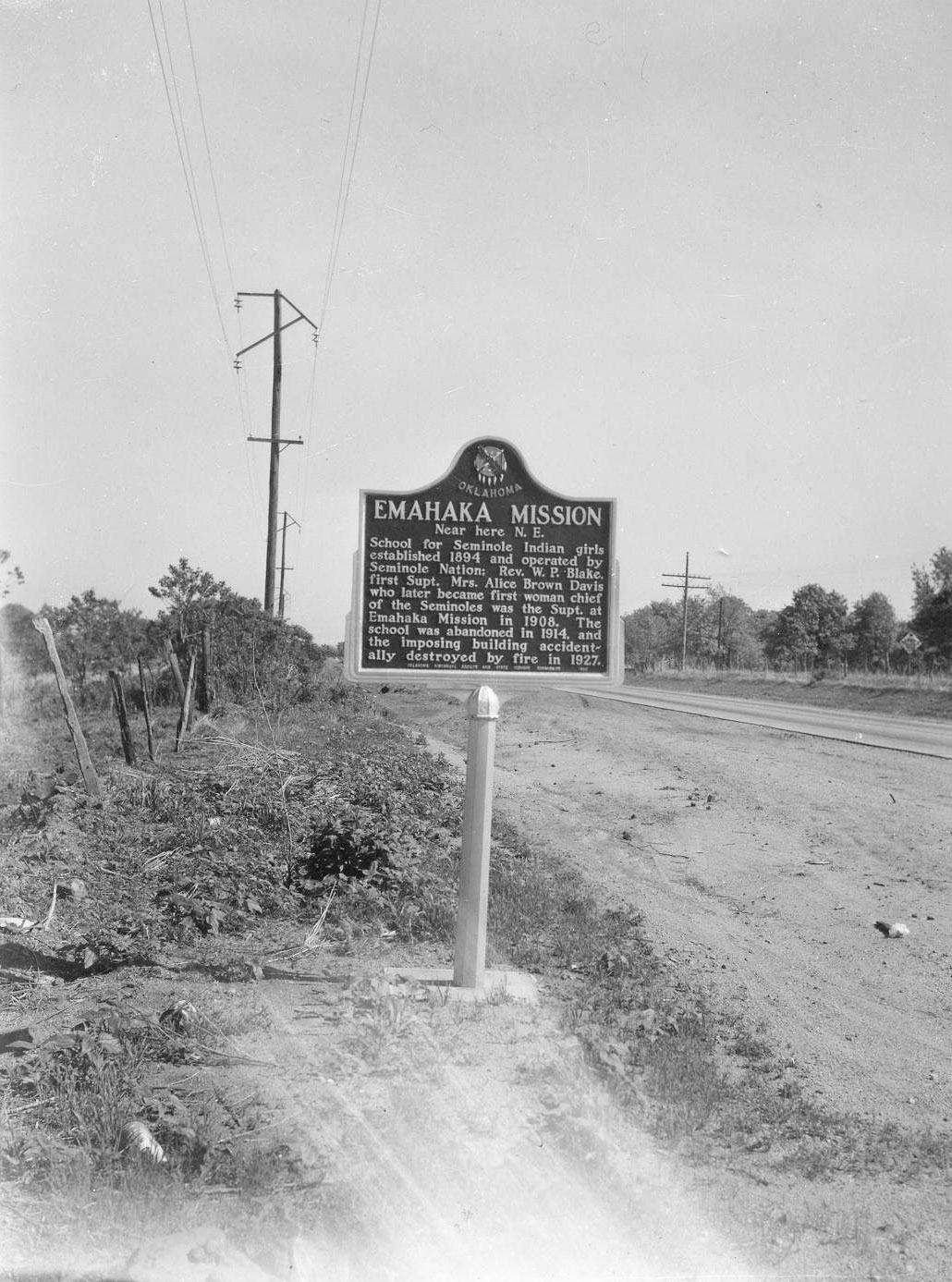
This school for Seminole girls was established in 1894 and operated by the Seminole Nation. Reverend W. P. Blake was the first superintendent. Mrs. Alice Brown Davis, who later became first female chief of the Seminole Nation, was superintendent in 1908. The school was abandoned in 1914, and the building was destroyed by fire in 1927.
Note: This marker could not be located and is presumed missing.
View image
Enon Baptist Association
Love CountyLocation: at Leon Baptist Church in Leon
Topics: American Indians; Religion/Philosophy; Territorial Period, 1861–1907
In August 1885, the Enon Baptist Association was founded at Wilson Creek Church in the Chickasaw Nation.
Entering Indian Territory
Ottawa CountyLocation: on US-69 Alternate just south of Kansas-Oklahoma border
Topics: American Indians; Settlement Patterns; Westward Expansion, 1803–1861
This area was granted to the Quapaw tribe in 1833. Nearby, members of twenty other tribes received lands from the federal government.
Fairfield Mission
Adair CountyLocation: at junction of OK-100 and US-59 on south edge of Stilwell
Coordinates: 35.800881, -94.625989
Material: Granite
Sponsor(s): Oklahoma Historical Society
Topics: American Indians; Education; Religion/Philosophy; Westward Expansion, 1803–1861
The mission building, completed in 1829 by Dr. Marcus Palmer, a missionary to the Cherokee, stood in a grove of large trees a few hundred feet east of the cemetery now known as McLemore Cemetery. Noted missionaries and teachers at the mission included Elizur Butler, Charles C. Torrey, Clarissa Palmer, Lucy Butler, and Esther Smith. A circulation library, possibly the state’s first, was established at the mission in 1832.
Note: This marker is missing.
First Oil Well, Tulsa County
Tulsa CountyLocation: on 66 at the north side of Red Fork
Topics: American Indians; Industrial Period, 1941–1982; Natural Resources; Petroleum; Settlement Patterns
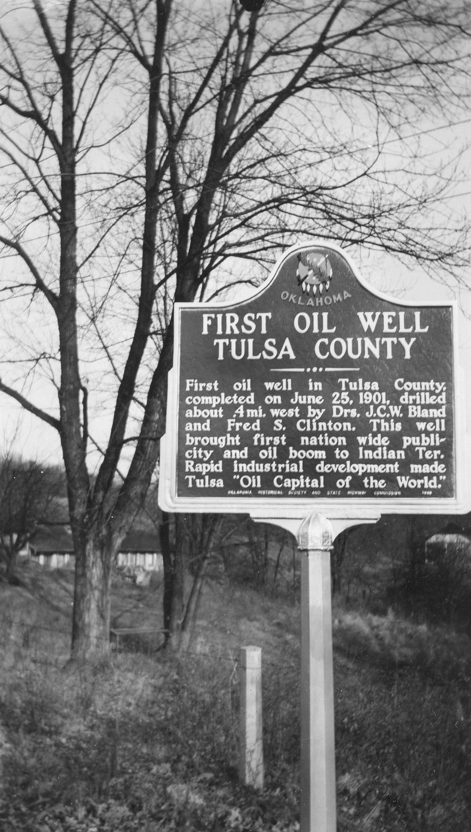
This well about a half-mile west of the marker was on the Creek allotment of Dr. Bland's wife and was in production with oil royalties, paying the Bland heirs until the well was closed down around 1952.
View image
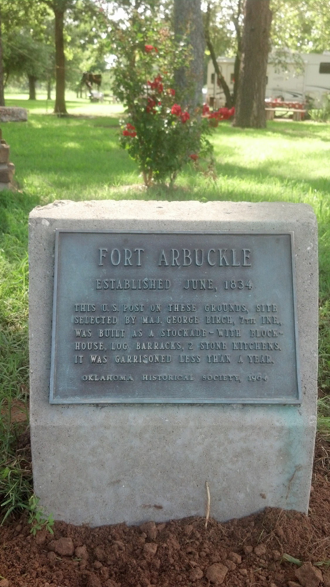
Fort Arbuckle
Tulsa CountyLocation: in Brush Creek Park near Sand Springs
Sponsor(s): Tulsa County Historical Society
Topics: American Indians; Military; Westward Expansion, 1803–1861
The site of Fort Arbuckle is less than one mile north. One of the two US military posts on the western frontier of the Creek Nation, this “first” Fort Arbuckle in Indian Territory was built in 1834 by troops of the 7th Infantry with Major George Birch in command. The stockade buildings were garrisoned only a few months.
View image
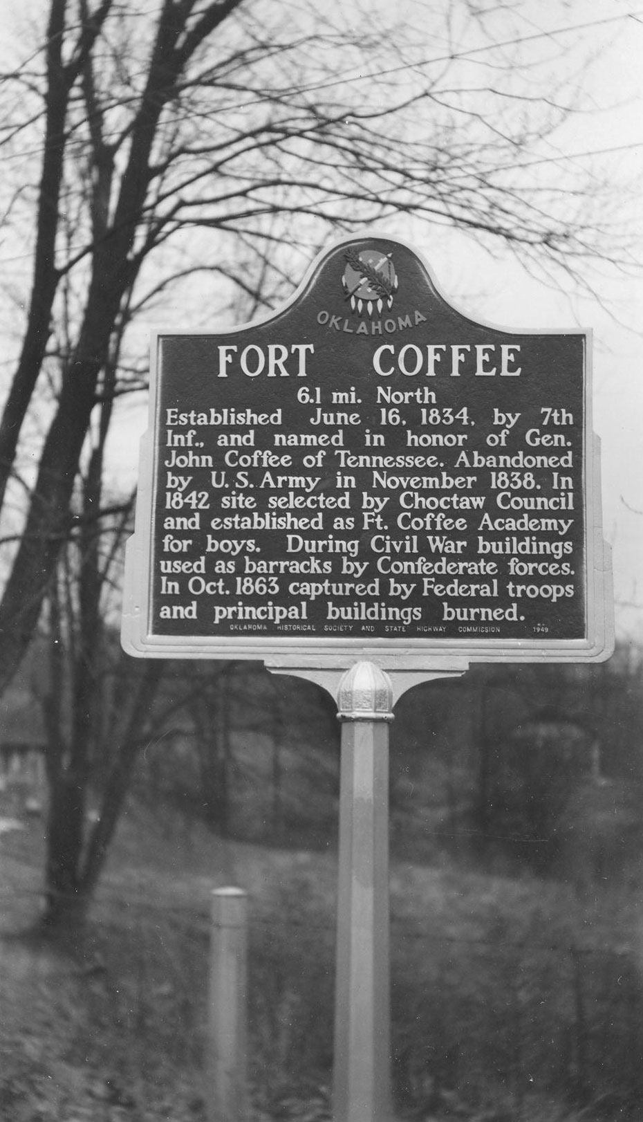
Fort Coffee
Le Flore CountyLocation: on US-271, approximately one mile east of Spiro
Coordinates: 35.240479, -94.595370
Material: Granite
Sponsor(s): Oklahoma Historical Society and the Oklahoma Department of Transportation
Topics: American Indians; Education; Military; Westward Expansion, 1803–1861
Named in honor of General John Coffee of Tennessee, Fort Coffee was established by the 7th Infantry on June 16, 1834, on the southern bank of the Arkansas River. Because of relative peace in the area, the fort was abandoned four years later. In 1842, the Choctaw Council established the Fort Coffee Academy for boys. Confederate forces used the barracks during the Civil War. However, Federal troops overran the post in October of 1863 and burned the main buildings.
View image

View image
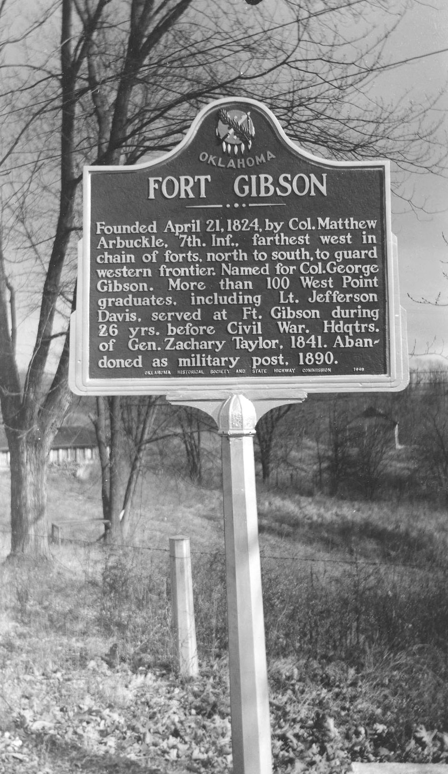
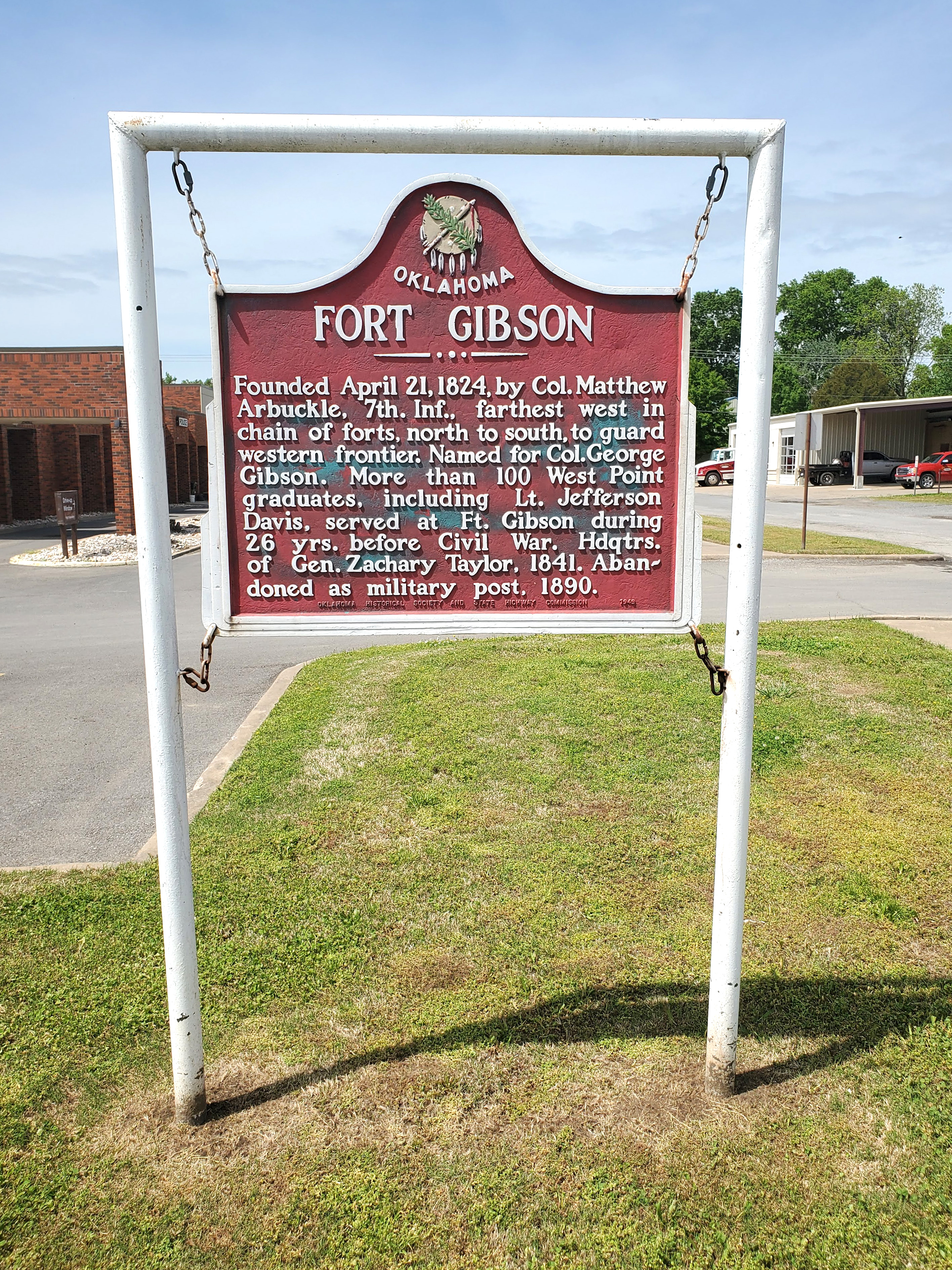
Fort Gibson
Muskogee CountyLocation: on BUS-62 in front of Town Hall in Fort Gibson
Coordinates: 35.797141, -95.251534
Material: Aluminum
Sponsor(s): Oklahoma Historical Society and the Oklahoma Department of Transportation
Topics: American Indians; Government; Military; Settlement Patterns; Territorial Period, 1861–1907
The fort was founded on April 21, 1824, by Colonel Matthew Arbuckle. In the 26 years before the Civil War, more than one hundred West Point graduates served at Fort Gibson. In 1841, the post was headquarters of Brigadier General (later President) Zachary Taylor. The post was abandoned in 1890.
View image
View image
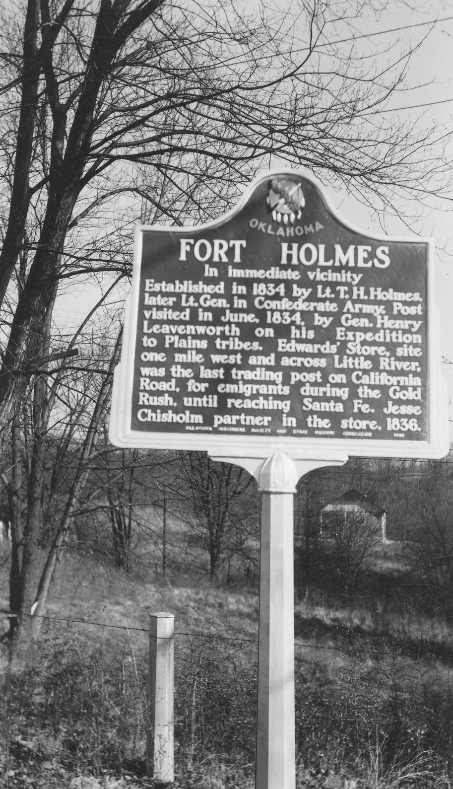
Fort Holmes
Hughes CountyLocation: on OK-48 west of Kenefic
Topics: American Indians; Military; Westward Expansion, 1803–1861
This frontier fort was established by Lieutenant Theophilus Holmes who later rose to the rank of lieutenant general in the Confederate Army. Holmes built temporary barracks for troops in 1834 to serve as an advance base for troops stationed at Fort Towson. General Henry Leavenworth visited here on his 1834 expedition to the Plains Tribes.
Note: This marker has been replaced by the Edwards’s Post historical marker.
View image
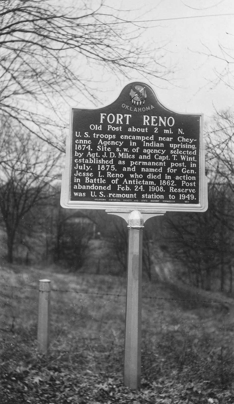
Fort Reno
Canadian CountyLocation: on OK-66 near entrance to Fort Reno
Coordinates: 35.537365, -98.026123
Material: Aluminum
Sponsor(s): Oklahoma Historical Society and the Oklahoma Department of Transportation
Topics: American Indians; Government; Military; Territorial Period, 1861–1907
Named for General Jesse L. Reno, who died in action during the Civil War, Fort Reno was established to protect and police the Cheyenne-Arapaho Agency. Initially a temporary camp to protect the agency during the Red River War of 1874, the site was expanded and designated Fort Reno on July 15, 1875. The post was abandoned as an active military installation in February 1908, but it served as a remount station for the US Army until 1948.
View image

View image
Fort Sill Indian School
Comanche CountyLocation: on I-44 between Fort Sill and Lawton
Material: Aluminum
Topics: American Indians; Education; Religion/Philosophy; Territorial Period, 1861–1907
Quaker teacher Reverend Josiah Butler opened the school for Kiowa, Apache, and Comanche children in February of 1871.
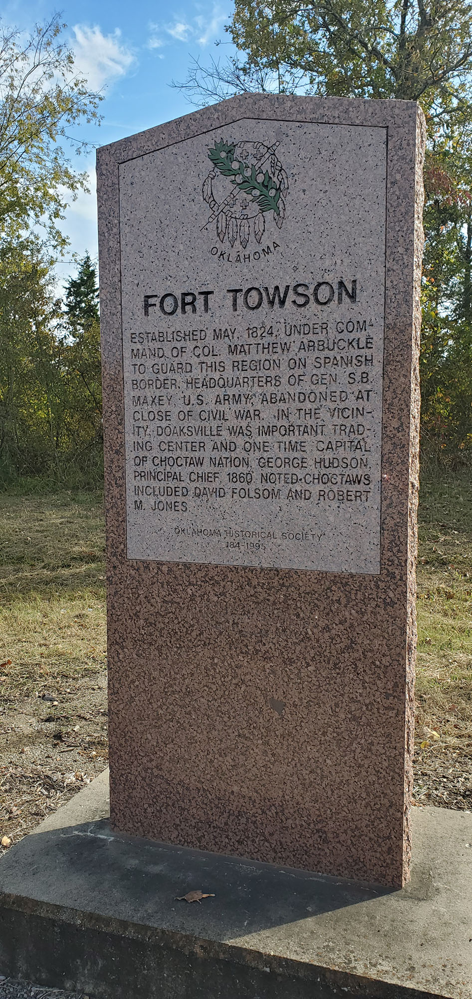
Fort Towson
Choctaw CountyLocation: on US-70 at east edge of Fort Towson
Coordinates: 34.017681, -95.253985
Material: Granite
Sponsor(s): Oklahoma Historical Society
Topics: American Indians; Government; Military; Westward Expansion, 1803–1861
Colonel Matthew Arbuckle ordered the construction of the fort in May 1824 to guard the US boundary with Mexico. After Indian removals to the area in the 1830s, the fort served as a permanent army post until 1854. During the Civil War, the fort was occupied by Confederate forces. Brigadier General Stand Watie surrendered his Confederate troops here in June 1865, the last Confederate general to lay down his arms. Fort Towson was abandoned after the Civil War.
Note: This marker was reported damaged.
View image
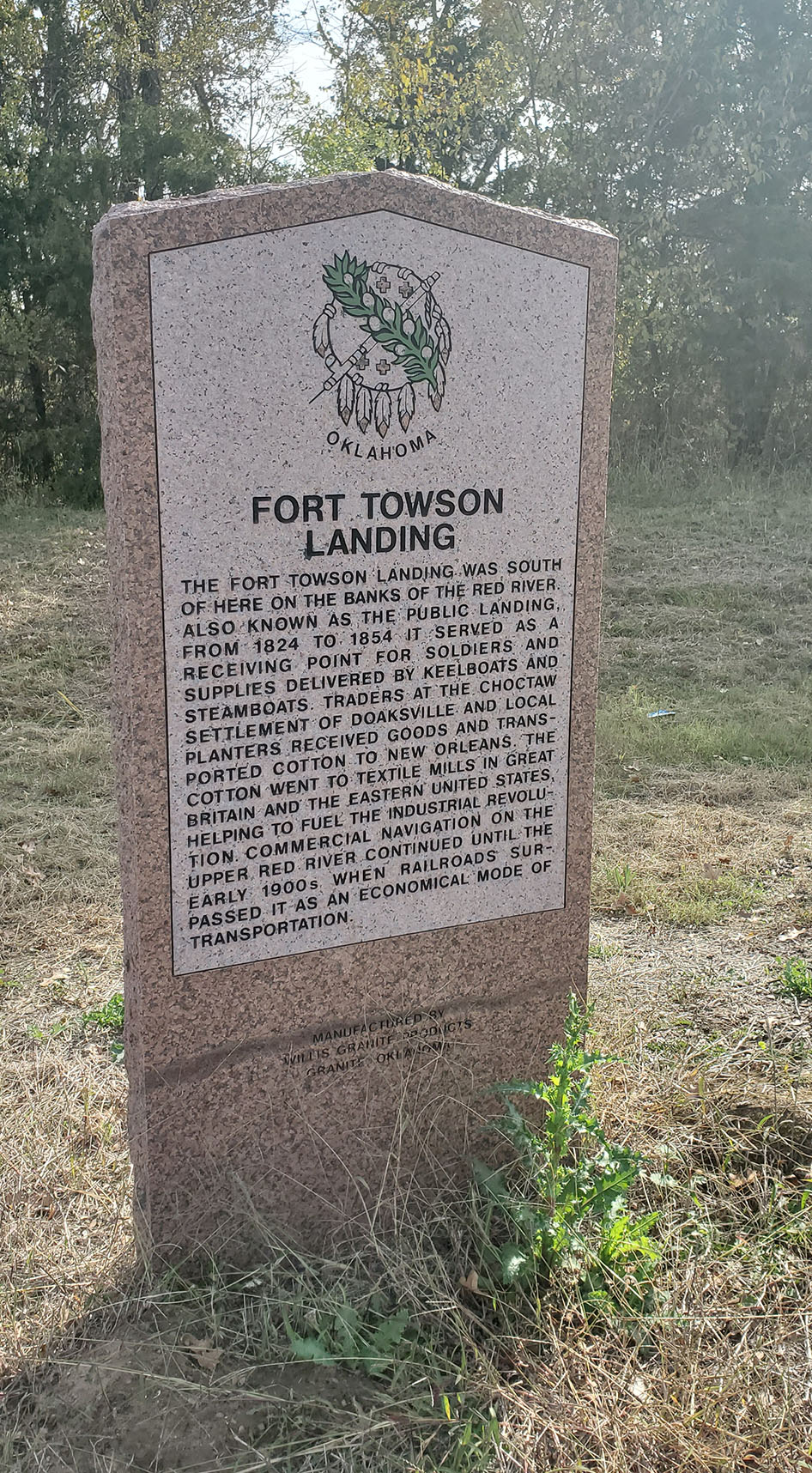
Fort Towson Landing
Choctaw CountyLocation: on US-70 at east edge of Fort Towson
Coordinates: 34.017682, -95.254016
Sponsor(s): Oklahoma Historical Society and the Oklahoma Department of Transportation
Topics: American Indians; Indian and Frontier Trade; Industry/Business; Retail; Transportation
The Fort Towson Landing was south of here on the banks of the Red River. Also known as the Public Landing, it served as a receiving point for soldiers and supplies delivered by keelboats and steamboats from 1824 to 1854. Traders at the Choctaw settlement of Doaksville and local planters received goods and transported cotton to New Orleans. The cotton went to textile mills in Great Britain and the eastern United States helping to fuel the Industrial Revolution. Commercial navigation on the Upper Red River continued until the early 1900s when railroads surpassed it an as economical mode of transportation.
Note: This marker was reported damaged.
View image
Fort Wayne
Adair CountyLocation: on US-59, two miles south of Grove
Coordinates: 36.105500, -94.574600
Material: Granite
Sponsor(s): Oklahoma Historical Society and the Oklahoma Department of Transportation
Topics: American Indians; Military; Westward Expansion, 1803–1861
Established in 1838 and known originally as Camp Illinois, Fort Wayne was originally located northeast of present Watts in Adair County on a hill overlooking the Illinois River. Considered a poor location due to many soldiers having died there, the fort was relocated to Beatie’s Prairie in present Delaware County in 1840. Fort Wayne was abandoned in 1842. At the onset of the Civil War, Stand Watie used the post to form his regiment of Cherokee Mounted Volunteers. Union forces defeated Confederate troops led by Col. Douglas H. Cooper in the Battle of Fort Wayne on October 22, 1862.
Note: Also see Fort Wayne marker in Delaware County.
Fort Wayne
Delaware CountyLocation: on OK-20, about one mile west of the Arkansas-Oklahoma state line
Coordinates: 36.423437, -94.627493
Material: Granite
Sponsor(s): Oklahoma Historical Society and the Oklahoma Department of Transportation
Topics: American Indians; Military; Westward Expansion, 1803–1861
Established in 1838 and known originally as Camp Illinois, Fort Wayne was originally located northeast of present Watts in Adair County on a hill overlooking the Illinois River. Considered a poor location due to many soldiers having died there, the fort was relocated to Beatie’s Prairie in present Delaware County in 1840. Fort Wayne was abandoned in 1842. At the onset of the Civil War, Stand Watie used the post to form his regiment of Cherokee Mounted Volunteers. Union forces defeated Confederate troops led by Col. Douglas H. Cooper in the Battle of Fort Wayne on October 22, 1862.
Note: Also see Fort Wayne marker in Adair County.

View image
Gardner Mansion
McCurtain CountyLocation: on US-70 west of Mountain Fork River
Material: Aluminum
Topics: American Indians; Family/Household; Government; Religion/Philosophy; Territorial Period, 1861–1907
Now privately owned, this two-story home belonged to Jefferson Gardner, principal chief of the Choctaws from 1894 to 1896. Well-known Choctaw minister and builder James Dyer constructed the house in 1884 near the site of old Eagletown.
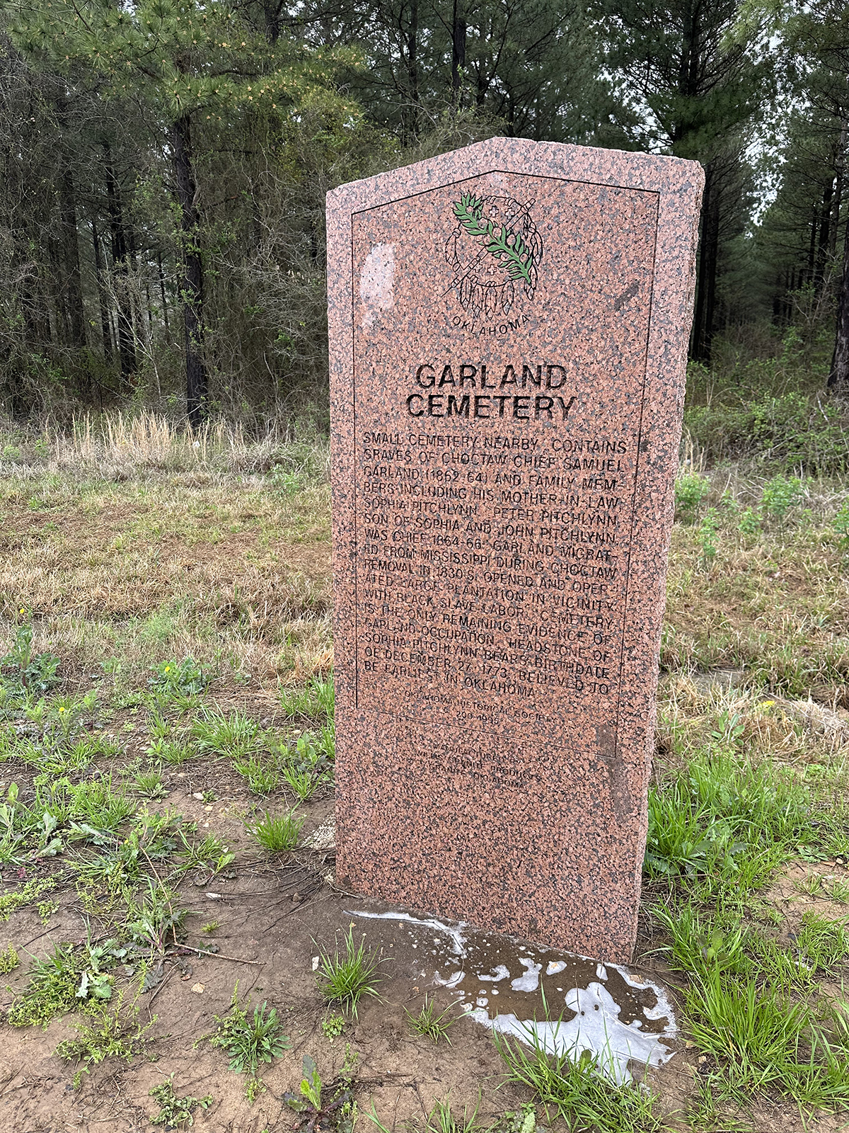
Garland Cemetery
McCurtain CountyLocation: on OK-3, three miles west of the Oklahoma-Arkansas border
Topics: Agriculture; American Indians; Social/Cultural
This cemetery was the family burying ground for prominent Choctaws. Chief Samuel Garland, 1864–1866, established a plantation here after arrival over the Trail of Tears in the 1830s. Buried here are Chief Garland and his mother-in-law, Sophia Pitchlynn, the mother of Choctaw Chief Peter Pitchlynn.
View image
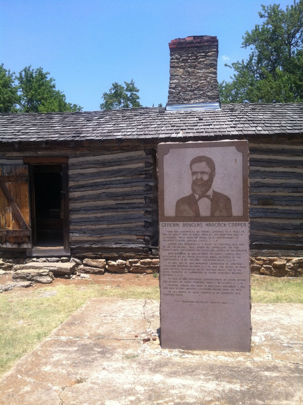
General Douglas Hancock Cooper
Bryan CountyLocation: on OK-199, thirteen miles east of Madill in Fort Washita Cemetery
Material: Granite
Topics: American Indians; Government; Military; Territorial Period, 1861–1907; Westward Expansion, 1803–1861
General Cooper was appointed as the US Indian agent to the Choctaws in 1853 and to the Chickasaws in 1856. He consolidated the two agencies and moved them to Fort Washita. When the Civil War began, Cooper's friend, Confederate President Jefferson Davis, appointed him Choctaw-Chickasaw agent for the Confederacy. As commander of the Choctaw-Chickasaw Confederate mounted riflemen, he saw much action. He later was promoted to commander of the Indian Territory Military District, C.S.A., and was named Superintendent of Indian Affairs by President Davis. He died at Fort Washita in 1879 and is buried in an unmarked grave.
View image
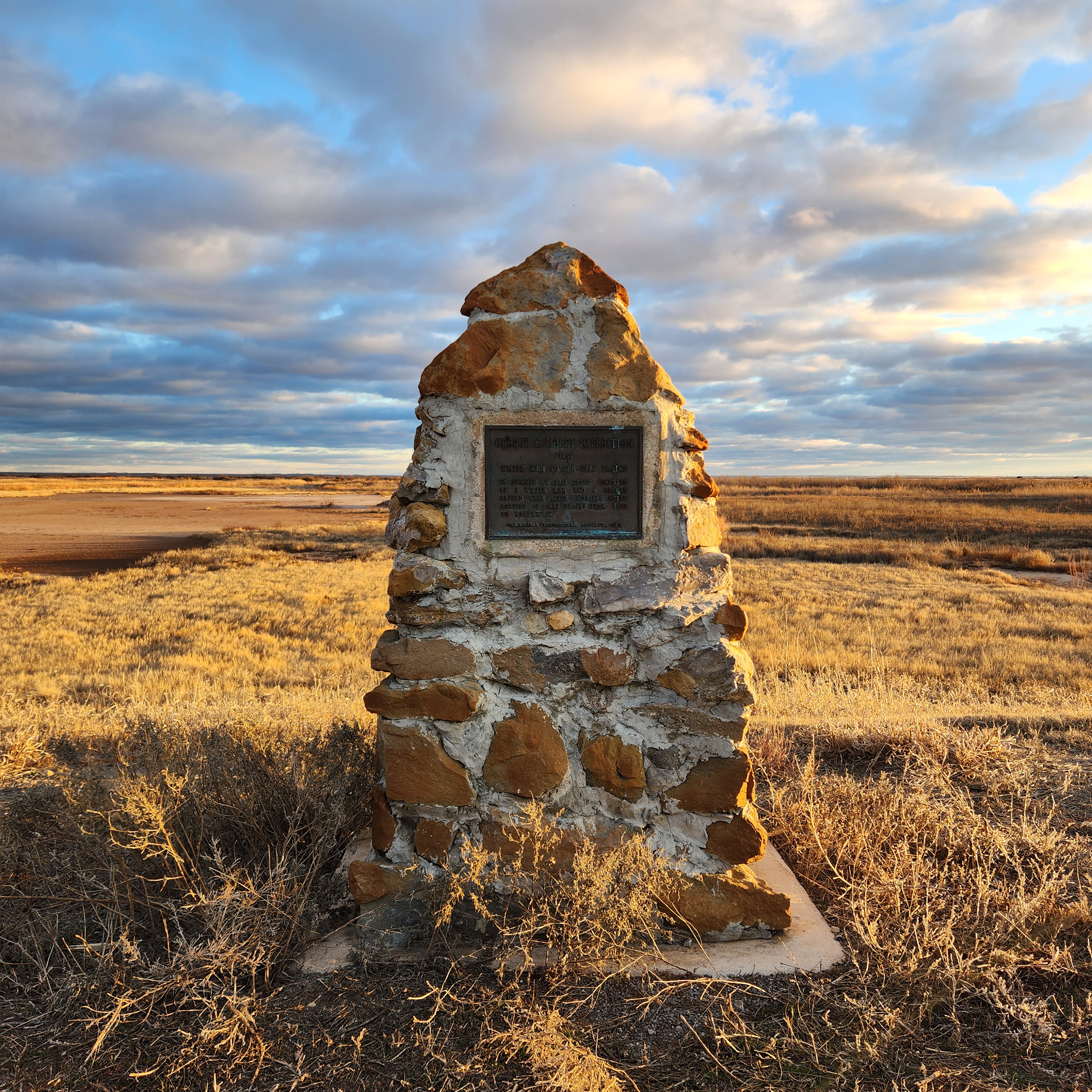
George C. Sibley Expedition
Alfalfa CountyLocation: 1/2 mile east of junction of OK-8 and OK-11, north of Cherokee
Coordinates: 36.805565, -98.245647
Material: Other (Stone with bronze plaque)
Topics: American Indians; Environmental/Cultural Ecology; Government; Settlement Patterns
Sibley, an Osage Indian agent, and two others were believed to be the first whites to view the Great Salt Plains on an expedition to the area in the summer of 1811. Sibley called the geological phenomenon “a perfect level plain covered in dry hot weather from two to six inches deep with a beautiful clean white salt.”
View image
Giants of the Great Plains
Greer CountyLocation: in Granite, Oklahoma only 38 minutes south of Elk City or 30 minutes north of Altus
Material: Granite
Topics: American Indians; Arts; Early Statehood, 1907–1941; Social/Cultural
Will Rogers (face, 30' wide and 28' tall) was dedicated November 10, 1979, in recognition of Rogers' 100th birthday anniversary. This giant mosaic is comprised of 195 two-foot-square granite panels.
Goodwater Choctaw Mission/Koonsha Female Seminary
Choctaw CountyLocation: on US-70 east of Sawyer
Coordinates: 34.019065, -95.362666
Material: Aluminum
Sponsor(s): Oklahoma Historical Society and the Oklahoma Department of Transportation
Topics: American Indians; Education; Religion/Philosophy; Westward Expansion, 1803–1861
Goodwater Choctaw Mission was established in Indian Territory in 1832 after the forced removal of the Choctaw from Mississippi. Goodwater had several notable founding members, including the Reverends Cyrus Byington, Cyrus Kingsbury, and Ebenezer Hotchkin. In 1842 the Choctaw Nation opened Koonsha Female Seminary in conjunction with the mission. Both institutions closed by the beginning of the Civil War.

View image

View image
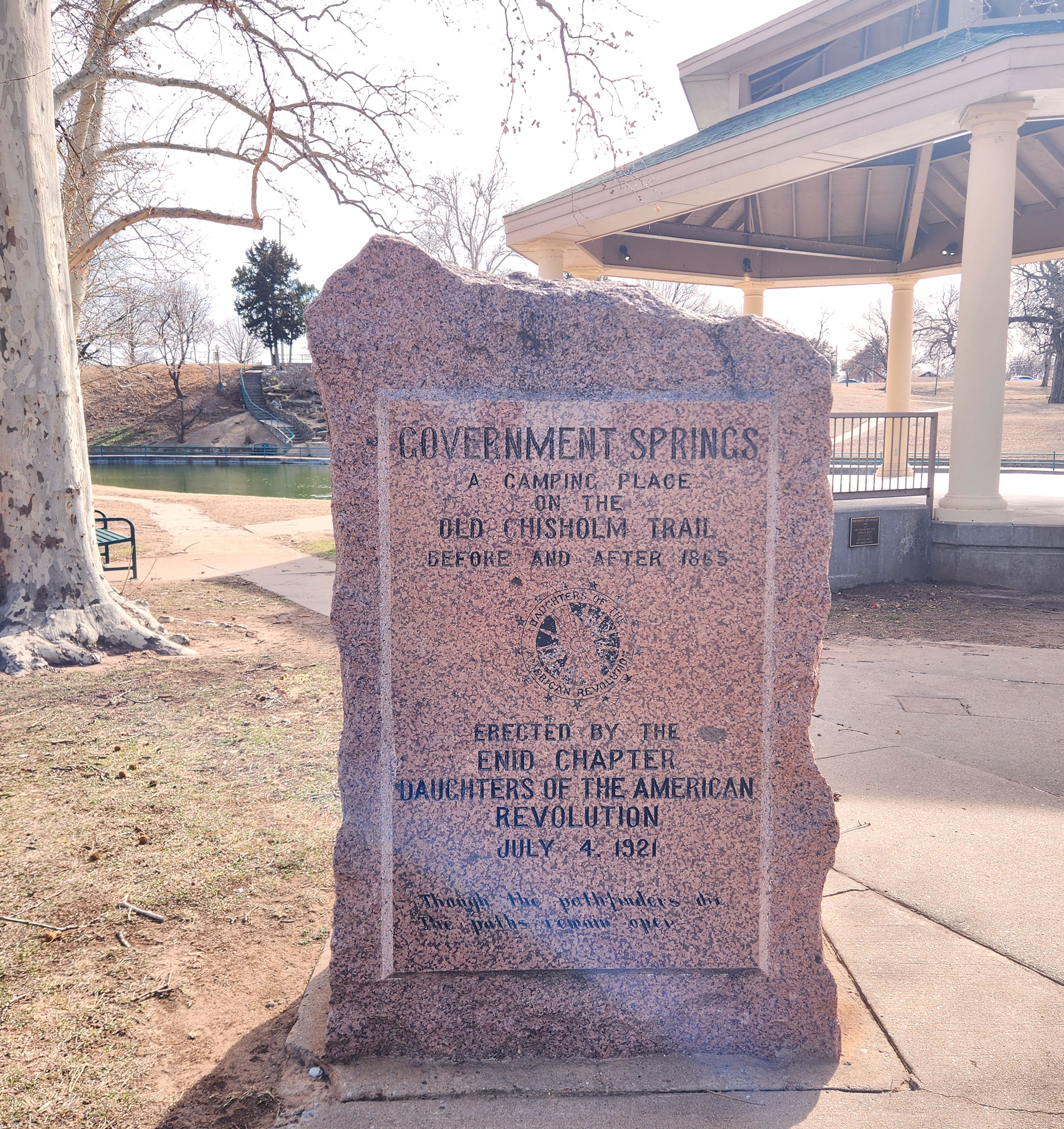
Government Springs
Garfield CountyLocation: at northwest corner of Government Springs Park in Enid
Coordinates: 36.3924789,-97.8717339
Material: Granite
Sponsor(s): Enid Chapter of the Daughters of the American Revolution
Topics: American Indians; Ranching; Social/Cultural; Transportation
Government Springs was a camping place on the Chisholm Trail used originally by Indians and later by all travelers. See Buffalo Springs.
View image
Governor Cyrus Harris
Murray CountyLocation: on US-177, eight miles south of Sulphur
Topics: American Indians; Government; Social/Cultural
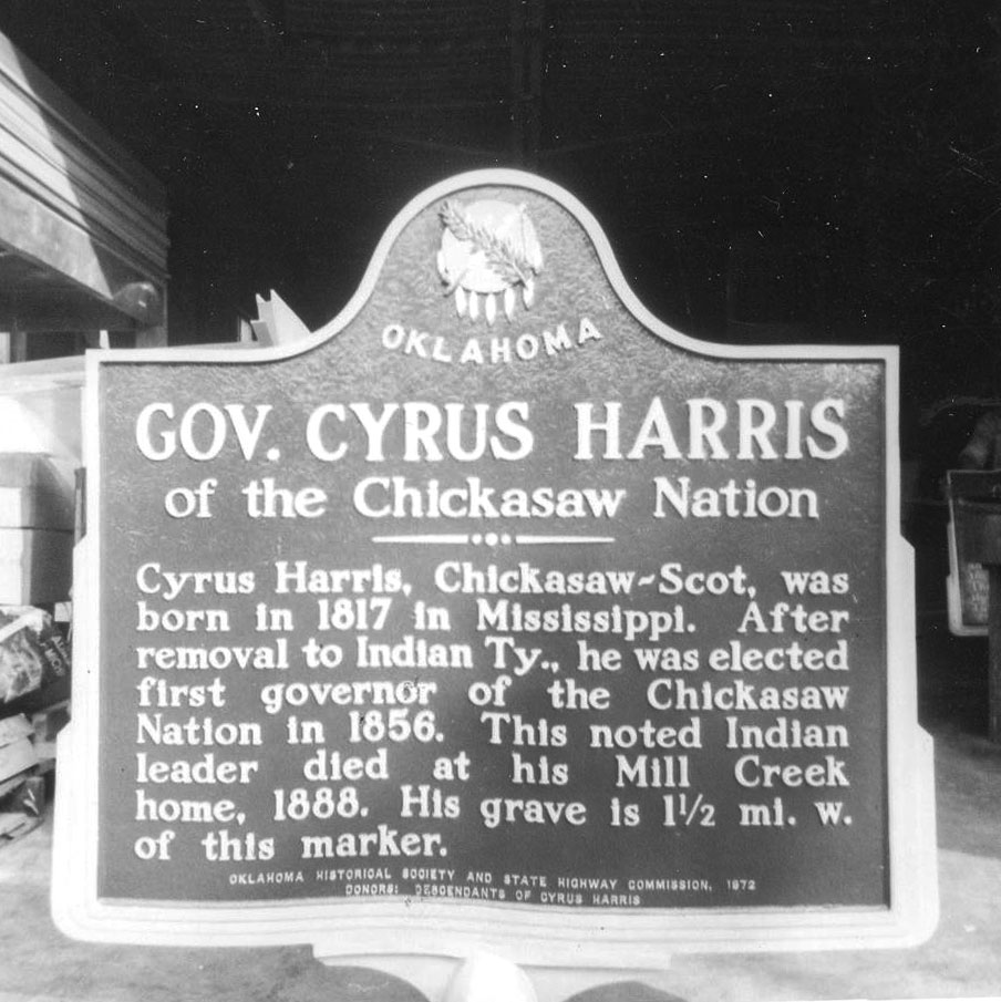
After adoption of a new constitution in 1856, the Chickasaws elected Cyrus Harris as the first governor of the Chickasaw Nation, a position he held for twenty-two years. Speaking both Chickasaw and English fluently, Harris was an interpreter at several early Chickasaw removal councils and represented the tribe in Washington, DC, in the 1850s.
Note: This marker was reported missing.
View image
Green Corn Dance
McIntosh CountyLocation: at Eufaula Indian Health Center, near S. 6th Street and Forest Avenue, in Eufaula
Coordinates: 35.282639, -95.591389
Material: Granite
Sponsor(s): Oklahoma Historical Society
Topics: American Indians; Religion/Philosophy; Social/Culture
The Green Corn Ceremony is among the most important annual religious celebrations among many Native American tribes, including the Muscogee (Creek). Men, women, and children dress in colorful costumes, dance, chant, and sing around a central fire. Once rites are completed, green corn is served to everyone.

View image
Greenhill Cemetery
Muskogee CountyLocation: at intersection of York and North Streets in Muskogee
Topics: American Indians; Government; Social/Cultural; Territorial Period, 1861–1907
Greenhill Cemetery began in 1894 and moved to its present location in 1904 when town leaders contributed 250 acres to be used as the town's official burial site. The cemetery is the final resting place for Oklahoma's first governor, Charles Haskell; Oklahoma's first congresswoman, Alice Robertson; and Alexander Posey, newspaperman and poet laureate of the Creek Indians.
Hardy Creek
Pushmataha CountyLocation: Hwy-271, 7.6 miles south of Clayton, Oklahoma
Sponsor(s): Leona Mars, Granddaughter
Topics: American Indians; Indian and Frontier Trade; Transportation; Water; Westward Expansion, 1803–1861
Thomas Hardy, a Choctaw Indian from Nashoba, Oklahoma, camped at this creek bank before and after he went to Clayton, Oklahoma, to buy supplies. People started identifying this creek as Hardy Creek.
Harrah
Oklahoma CountyLocation: on East Main Street at Museum
Sponsor(s): Harrah Historical Society
Topics: Urban Development; American Indians; Settlement Patterns; Territorial Period, 1861–1907; Transportation; Westward Expansion, 1803–1861
The present site of Harrah was first settled in 1876 by French-Potawatomi Indian, Louis Navarre. In 1892, E. W. Sweeney built a bridge at a strategic ford across the North Canadian River, increasing the settlement's prospects. The railroad's arrival in 1896 assured success. Entrepreneur, Frank Harrah, purchased eighty acres from Navarre of which a portion was used for development. A forty-acre tract was surveyed, platted, and officially entered as the town of Harrah on February 18, 1899. This marker stands within the original tract in the heart of the town's early business district.
Harris House
McCurtain CountyLocation: on US-259, one mile south of Harris
Topics: Agriculture; American Indians; Family/Household; Government; Territorial Period, 1861–1907; Transportation
Judge Henry C. Harris built the house in 1867. He served the Choctaw tribal government in several positions, including supreme judge of the Apukshunnubbe District. He founded Harris Ferry and operated a large plantation along the Red River.
Henry Roman Nose
Blaine CountyLocation: on OK-8A in Roman Nose State Park
Material: Aluminum
Sponsor(s): Blaine County Historical Society and the Oklahoma Historical Society
Topics: American Indians; Recreational/Service; Territorial Period, 1861-1907
Roman Nose State Park is named for Cheyenne Chief Henry Roman Nose (1856–1917). Much of the park once comprised Chief Roman Nose’s allotment. The grave of Henry Roman Nose is located one-half mile west of Watonga. Roman Nose State Park opened on May 16, 1937.
Note: This marker no longer exists.
Hillside Mission
Tulsa CountyLocation: on OK-11, four miles north of Skiatook
Material: Aluminum
Topics: American Indians; Environmental/Cultural Ecology; Industrial Period, 1941–1982; Religion/Philosophy; Social/Cultural; Territorial Period, 1861–1907
Reverend John Murdock established the Hillside Mission school in 1882 under the auspices of the Society of Friends. A nearby cemetery contains the grave of William C. Rogers, the last elected principal chief of the Cherokees prior to statehood.
Hochatown, Oklahoma
McCurtain CountyLocation: on US-259 at Hochatown Union Church and Cemetery
Coordinates: 34.153660, -94.751880
Material: Granite
Sponsor(s): Bob Burke
Topics: American Indians; Industrial Period, 1941–1982; Pre-European Contact, before 1541 AD; Settlement Patterns; Territorial Period, 1861–1907; Westward Expansion, 1803–1861
Prehistoric hunters left spear points along the Mountain Fork River at Hochatown around 6000 B.C. Caddo Indians occupied the area from 1000 to 1791 A.D. The town was named for a Choctaw Indian, Hocha, who arrived on the Trail of Tears in 1833. White settlers moved into the area in 1900. The original Hochatown was inundated by waters from Broken Bow Lake.

View image
Holmes Peak
Tulsa CountyLocation: on Keystone Expressway (US-64) at the intersection of 45th West Avenue in Tulsa
Topics: American Indians; Environmental/Cultural Ecology; Industrial Period, 1941–1982; Religion/Philosophy; Social/Cultural; Territorial Period, 1861–1907
Holmes Peak is the only geographical feature on Earth officially named by a government in honor of Sherlock Holmes. The US Board on Geographic Names approved the name on October 24, 1984. Another officially named geographic feature to honor Holmes is a crater on the Moon named by Astronaut Harrison Schmidt on the Apollo 17 Moon Landing.
Honey Springs Battlefield
McIntosh CountyLocation: on grounds of Honey Springs Battlefield Historic Site, near Rentiesville
Coordinates: 35.530309, -95.486041
Material: Granite
Sponsor(s): See marker description
Topics: American Indians; Ethnic Diversity; Government; Military; Territorial Period, 1861–1907
Five granite markers commemorate those who fought in the Battle of Honey Springs on July 17, 1863. Markers are dedicated to Union soldiers, regiments from the Five Tribes, the First Regiment of Kansas Colored Volunteers, Confederate soldiers, and Confederate soldiers from Texas. Sponsors include the Oklahoma Historical Society, the Intertribal Council of the Five Civilized Tribes, the Community Heritage Recognition Committee, and United Daughters of the Confederacy.

View image
Hotel Wisnor/Carter-Booker Building
Carter CountyLocation: at 15 North Washington in Ardmore
Topics: American Indians; Industry/Business; Recreational/Service; Territorial Period, 1861–1907
Hotel Wisnor, a fifty-room, three-story hotel built in 1884, was named in honor of Benjamin Wisnor Carter, the prominent Chickasaw Indian for whom Carter County is named. In 1903, the Carter-Booker Building was constructed at this location, providing offices for the Cotton Exchange.
I-See-O
Comanche CountyLocation: on wall of Old Post Chapel at Fort Sill
Sponsor(s): Daughters of the American Revolution
Topics: American Indians; Military
I-See-O was a famous Kiowa scout who attained the rank of sergeant in the US Army. Many consider him to be the last of the Indian scouts who faithfully served the army on the western frontier.
Indian Memorial
Tulsa CountyLocation: at entrance of Owen Park on West Edison Street in Tulsa
Sponsor(s): Daughters of the American Revolution
Topics: American Indians; Government
This is the spot where the Creek, Cherokee, and Osage national boundaries joined.
Indian Spring
Lincoln CountyLocation: south of the intersection of 15th Street and Iowa Avenue in Chandler
Coordinates: 35.693248, -96.875562
Material: Other
Sponsor(s): Indian Spring Chapter Daughters of the American Revolution
Topics: American Indians; Territorial Period, 1861–1907; Water; Westward Expansion, 1803–1861
The site of the first water supply for Chandler was used originally by Plains Indians as a water stop campground. A metal teepee covers the spring.

View image
Initial Point/Indian Meridian
Murray CountyLocation: near OK-7 in the Arbuckle Mountains west of Davis
Topics: American Indians; Government; Settlement Patterns
Initial Point marks the exact location of the intersection of the north-south Indian Meridian and the east-west Base Line. Following the 1866 treaties with the Five Civilized Tribes, who agreed to the survey of their lands, the General Land Office in 1870 directed E. N. Darling to select the Indian Point (near Fort Arbuckle). The two lines he ran represent the basis of all future land descriptions in Oklahoma except the Panhandle. The rough stone pillar that marks Indian Point is on private land.
The Jacobson House
Cleveland CountyLocation: 609 Chautauqua Avenue in Norman
Coordinates: 35.210691, -97.450055
Material: Aluminum
Sponsor(s): The Jacobson Foundation
Topics: American Indians; Arts; Early Statehood, 1907–1941; Industrial Period, 1941–1982
The home of Swedish-born artist Oscar B. Jacobson and Jeanne d’Ucel became a center for international celebrities, artists, and writers from 1918 to 1966. Jacobson, director of the University of Oklahoma School of Art from 1915 to 1945, revolutionized art education in Oklahoma. He is also credited with nurturing the “renaissance” of American Indian painting on the Southern Plains in the 1920s.

View image
James Bigheart
Osage CountyLocation: north side of SH11, 1/2 mile east of the Bird Creek Bridge east of Barnsdall
Material: Aluminum
Topics: American Indians; Indian and Frontier Trade; Natural Resources; Territorial Period, 1861–1907
After the Civil War, Bigheart became chief of the Osage. He operated a trading post at Big Heart, now Barnsdall, and led his people to retain all mineral rights to their lands which brought great wealth to the Osage people.
Jesse Chisholm
Blaine CountyLocation: on US-281, one mile north of Geary
Material: Aluminum
Sponsor(s): Oklahoma Historical Society and the Oklahoma Department of Transportation
Topics: American Indians; Indian and Frontier Trade; Religion/Philosophy; Territorial Period, 1861–1907; Westward Expansion 1803–1861
A significant merchant and trader in Indian Territory, Jesse Chisholm is best remembered for the Chisholm Trail through western Indian Territory that bears his name. Texas cattlemen used the trail until the late 1880s to move millions of cattle to northern markets. Chisholm died in March 1868 and was buried near Left Hand Spring.
Note: This marker no longer exists.
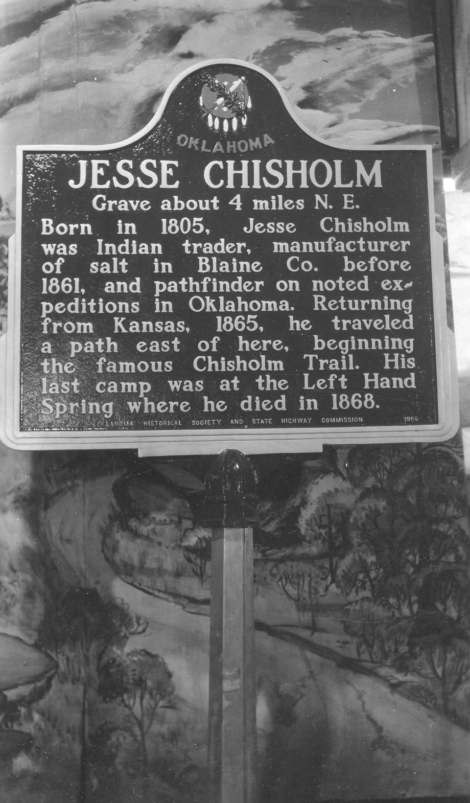
View image
Jesse Chisholm Trading Post and Spring
Pottawatomie CountyLocation: On OK-39, two miles east of Asher
Coordinates: 34.985850, -96.887380
Material: Other (Stone)
Sponsor(s): Carrie Boggs and Pottawatomie County Historical Society
Topics: American Indian and Frontier Trade; American Indians; Westward Expansion, 1803–1861
This marker placed by the Pottawatomie County Historical Society October 1938 marks the near site of the Jesse Chisholm Trading Post and Spring of territorial fame.
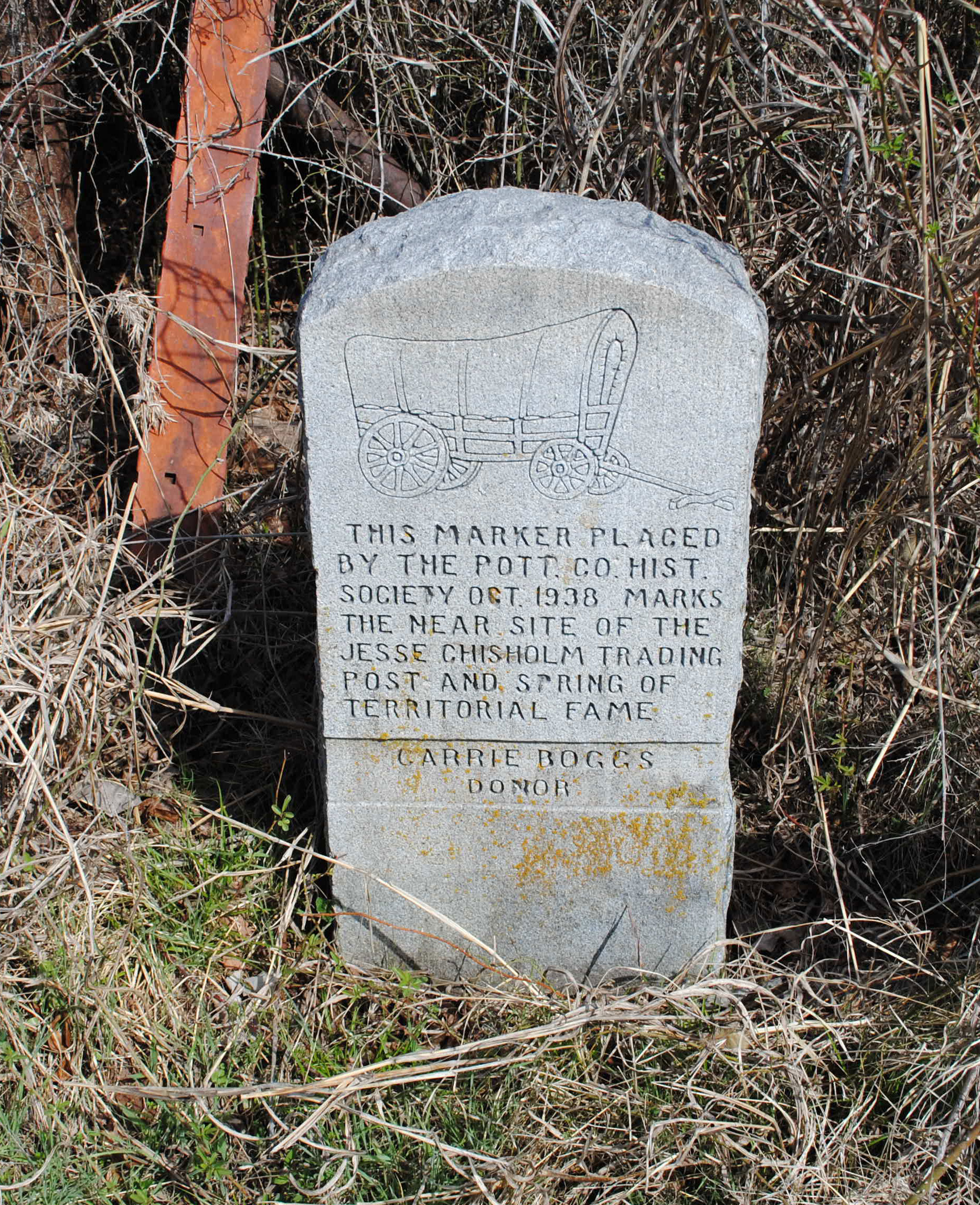
View image
John Martin
Muskogee CountyLocation: at intersection of Elm and Jackson Streets in Fort Gibson
Topics: American Indians; Government
John Martin, a Cherokee Indian who was the first chief justice of the first supreme court established in the Cherokee Nation, is buried here.
Note: This marker was reported missing.
Julia Jackson Chapter United Daughters of the Confederacy
Bryan CountyLocation: near Douglas Cooper monument at Fort Washita
Material: Granite
Sponsor(s): Sponsored by the Julia Jackson Chapter of the United Daughters of the Confederacy
Topics: American Indians; Military; Social/Cultural; Territorial Period, 1861–1907
Sponsored by the Julia Jackson Chapter of the United Daughters of the Confederacy, the nearby granite marker honors Douglas Hancock Cooper, the first Confederate agent for the Choctaws and Chickasaws and later commander of the Choctaw-Chickasaw Mounted Rifles.
Keokuk Falls
Pottawatomie CountyLocation: on OK-99 north of North Canadian River
Topics: American Indians; Settlement Patterns; Social/Cultural; Territorial Period, 1861–1907; Urban Development
After the land run into the Sac and Fox Reservation on September 22, 1891, the Keokuk Falls town site became an important settlement in Indian Territory. The boomtown boasted two distilleries and many saloons.
Note: This marker was reported missing.
View image
Koweta Mission
Wagoner CountyLocation: on US-69, 1/4 mile north of Arkansas River bridge
Topics: American Indians; Settlement Patterns; Westward Expansion, 1803–1861
Reverend R. M. Loughridge founded this Creek Indian school in 1843 and named it for an ancient Creek town in Alabama.
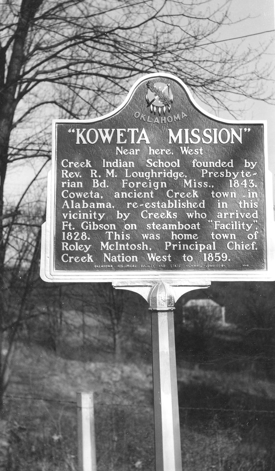
View image
La Harpe’s Council
Muskogee CountyLocation: on US-64 south of Haskell city limits
Material: Aluminum
Topics: American Indians; Empire Period, 1541–1803; Government
First peace council and alliance between a European government and Oklahoma Indian tribes occurred here in 1719 when French explorer Bernard de la Harpe explored the area.

View image
Love County
Love CountyLocation: at Love County Courthouse, 405 W Main St, in Marietta
Coordinates: 33.937225, -97.120806
Material: Granite
Sponsor(s): Love County Leadership Class IV/Oklahoma Centennial Commission
Topics: Agriculture; American Indians; Indian and Frontier Trade; Territorial Period, 1861–1907
Love County has a rich historical significance to Oklahoma and the nation. Carved from the Louisiana Purchase and acquired from the Choctaw Nation by the Chickasaw Nation, the county was named for the Loves, a prominent Chickasaw family. Early settlers influenced how the frontier area would be shaped. The area supported early-day commerce, numerous ferry crossings, and some of the first trading posts in the Indian Territory. Cattle ranchers, such as Bill Washington, controlled large Indian land holdings. The Arbuckle Trail, near Overbrook, was laid out by Jesse Chisholm of Chisholm Trail fame. Cotton was the major crop grown from the late 1800s to the mid 1900s, contributing to the greatest inland cotton market in the world.
Manard
Cherokee CountyLocation: on OK-82 south of Tahlequah, one mile east of the Cherokee-Muskogee County line
Coordinates: 35.799587, -95.104504
Material: Granite
Sponsor(s): Jennifer Sparks and the Oklahoma Historical Society
Topics: American Indians; Indian and Frontier Trade; Law and Order; Military; Territorial Period, 1861–1907
Named for early-day fur trader Pierre Manard, a member of the Chouteau family, the springs were identified as a Cherokee council ground prior to 1828. A trading post and agency were established in 1828 and 1837, respectively. Manard was the site of a Civil War skirmish on July 27, 1862, in which Federal troops and the Indian Home Guard routed Confederate forces. The Manard stage stop was the site of a hold up of the US Mail coach by the Cook gang on July 14, 1894, and the shooting of Joseph Glad by outlaw Jim French in late 1894. The Manard post office operated from 1883 to 1913. Manard School was established by 1863 and closed when consolidated with Fort Gibson schools in 1968.
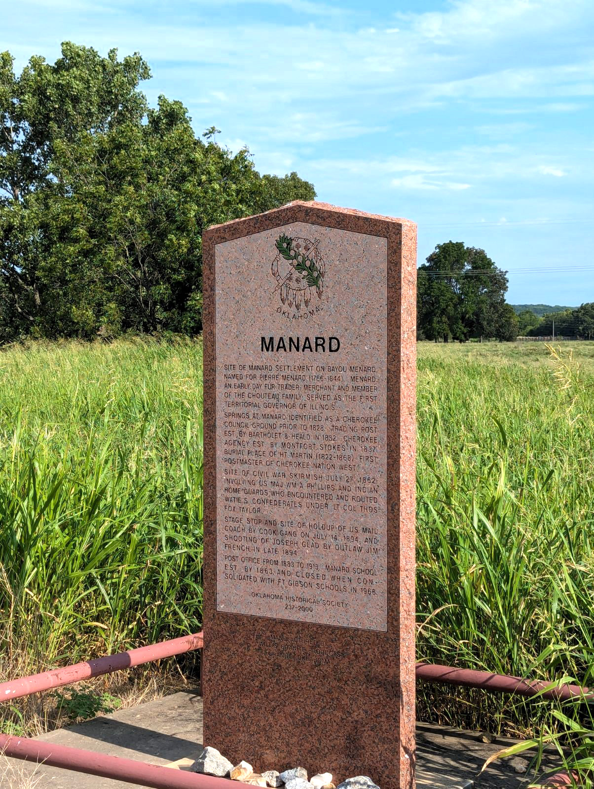
View image
March of the Dragoons
Cleveland CountyLocation: on US-77 in Noble just south of Maguire Road
Coordinates: 35.130033, -97.390217
Material: Aluminum
Sponsor(s): Cleveland County Historical Society
Topics: American Indians; Military; Westward Expansion, 1803–1861
Captain Nathan Boone, son of pioneer legend Daniel Boone, led 100 men and officers on an expedition to gather information about the Plains Indians. The 1843 expedition camped near this site.
Note: This marker no longer exists.
Massacre of Pat Hennessey
Kingfisher CountyLocation: on US-81 in Memorial Park in Hennessey
Coordinates: 36.111395, -97.899118
Material: Aluminum
Sponsor(s): Oklahoma Historical Society and the Oklahoma Department of Transportation
Topics: American Indians; Indian and Frontier Trade; Territorial Period, 1861–1907; Transportation
Freighter Pat Hennessey's charred body tied to his wagon wheel was found in a smoldering fire near 3 of his drivers, all killed on Jul 6, 1874, in last Indian wars when his train was on way along Chisholm Trail to Kiowa Agency. Grave is 2 blocks west.
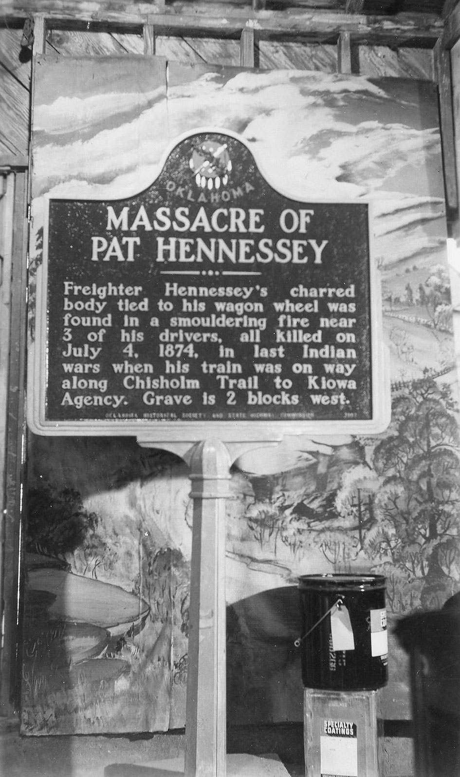
View image
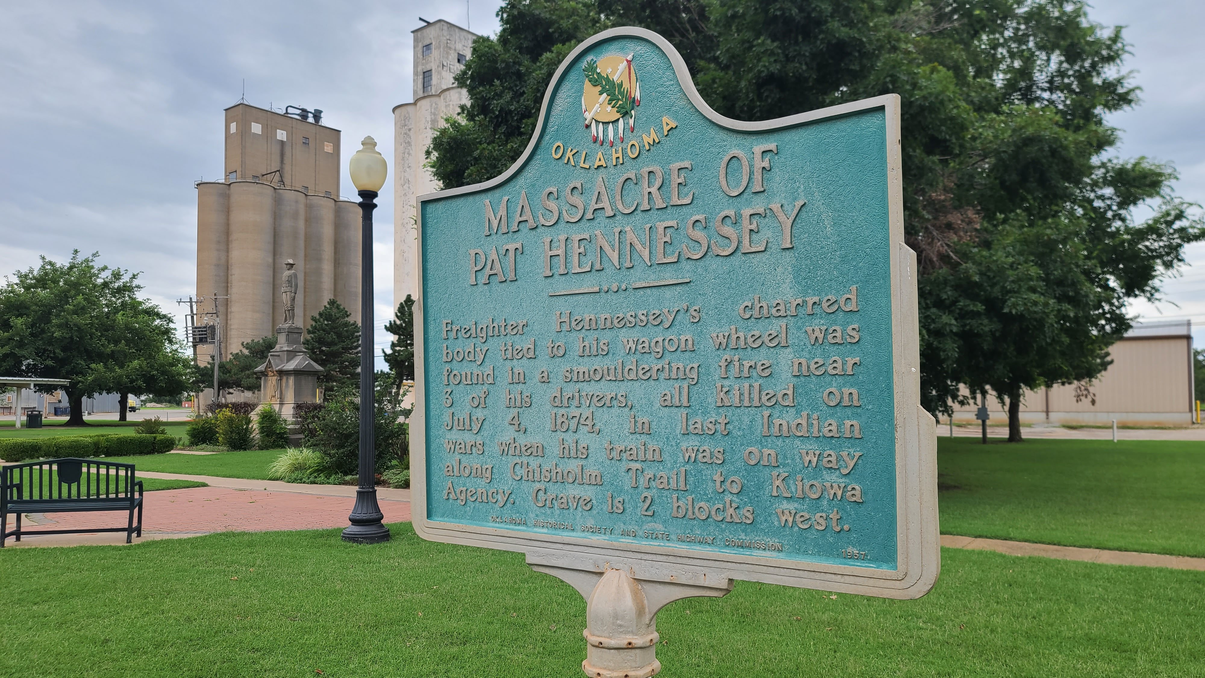
View image
Mekasukey Academy
Seminole CountyLocation: on OK-59 near junction with NS 3540 Rd, approximately four miles southwest of Seminole
Coordinates: 35.188407, -96.707079
Material: Aluminum
Sponsor(s): Oklahoma Historical Society and the Oklahoma Department of Transportation
Topics: American Indians; Early Statehood, 1907–1941; Education; Territorial Period, 1861–1907
Established by the Seminole Nation, Mekasukey Academy opened in 1891 to educate Seminole boys. Mekasukey (“Mikasuki”) was named for one of the “war towns” of the Seminole Nation. The school became coeducational by 1914. Mekasukey Academy closed in 1930, and the building later burned down.
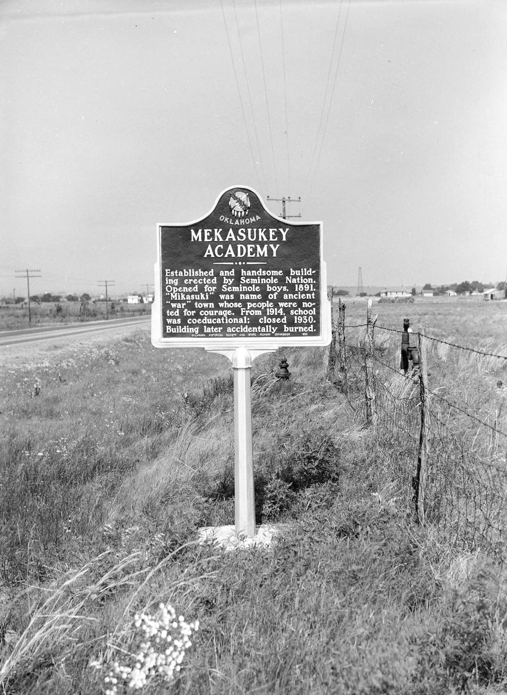
View image
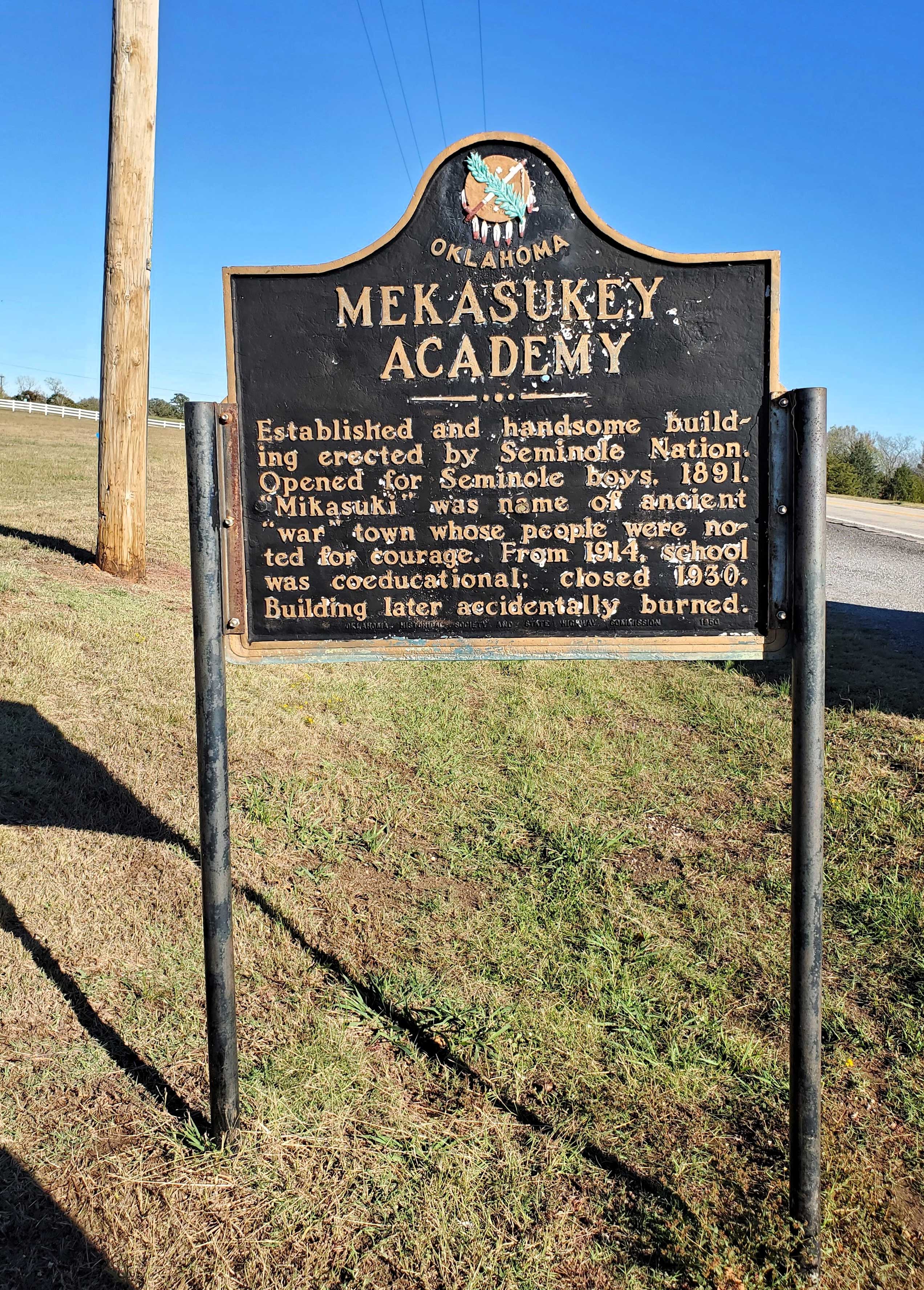
View image
Military Road
McCurtain CountyLocation: on US-70 at chamber of commerce office in Broken Bow
Topics: American Indians; Settlement Patterns; Transportation
Cut from Washington, Arkansas, to Fort Towson in 1831 for removal of Choctaws from Mississippi, the road became known as the "Trail of Tears" after thousands of suffering Indians used it to reach the new land. The road served as a major east-west artery for the Choctaw Nation until early 1900s. Important early settlement along the road were Harris Mill, Eagletown, Lukfata, Wheelock, and Clear Creek. Segments of the road are still visible.
Miller Court House
McCurtain CountyLocation: on US-259 near US-70 junction in Idabel
Topics: American Indians; Government; Mass Communication; Settlement Patterns; Westward Expansion, 1803–1861
In 1821 this was the site of the first judicial proceedings in what would become Oklahoma. In 1824, a post office was established at an unknown site nearby as county seat of Miller County, Arkansas Territory. White settlers were forced out when the area was ceded to the Choctaws by treaty. The courthouse and post office burned in 1828.
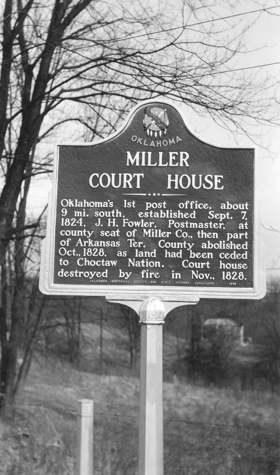
View image
Millie Durgan, White Captive
Kiowa CountyLocation: at intersection of OK-9 and OK-115, one mile east of Mountain View
Coordinates: 35.094289, -98.729444
Material: Aluminum
Topics: American Indians; Social/Cultural; Territorial Period, 1861–1907
Millie Durgan (Kiowa name: Sain-to-hoodle) was 18 months old when she was captured during a Kiowa raid at Elm Creek in north Texas in 1864. She was adopted by the Kiowa and married a Kiowa man named Goombi. She is buried in the Old Rainy Mountain Cemetery southwest of Mountain View.
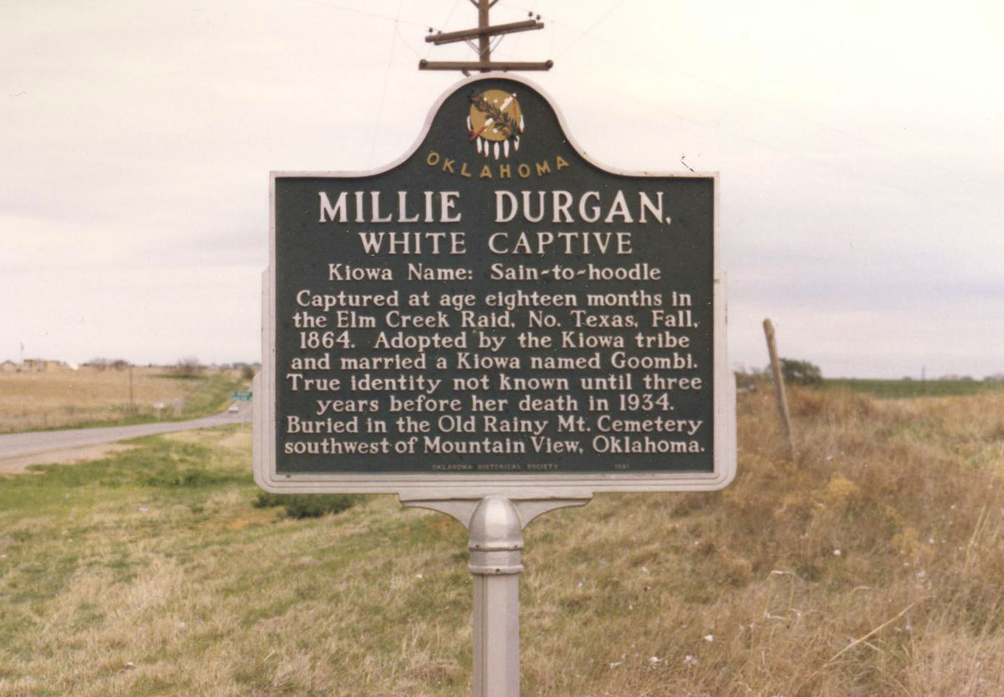
View image

View image
Million Dollar Elm
Osage CountyLocation: on grounds of Osage Nation campus in Pawhuska
Coordinates: 36.666224, -96.340294
Material: Other (Stone with bronze plaque)
Sponsor(s): Harry G. Benson and Family
Topics: American Indians; Early Statehood, 1907–1941; Folklife; Natural Resources; Petroleum; Social/Cultural; Territorial Period, 1861–1907
The Osage Nation held the first public auction sale for oil leases on reservation tracts on November 11, 1912. Early sales were held under this elm tree. Bidders sat on bleachers around the tree and the auctioneer, Colonel E. Walters, ‘cried’ the sales. A total of 16 160-acre tracts leased for a bonus of over $1 million. Thus, this tree under which these high bids were made became known as the “Million Dollar Elm.”
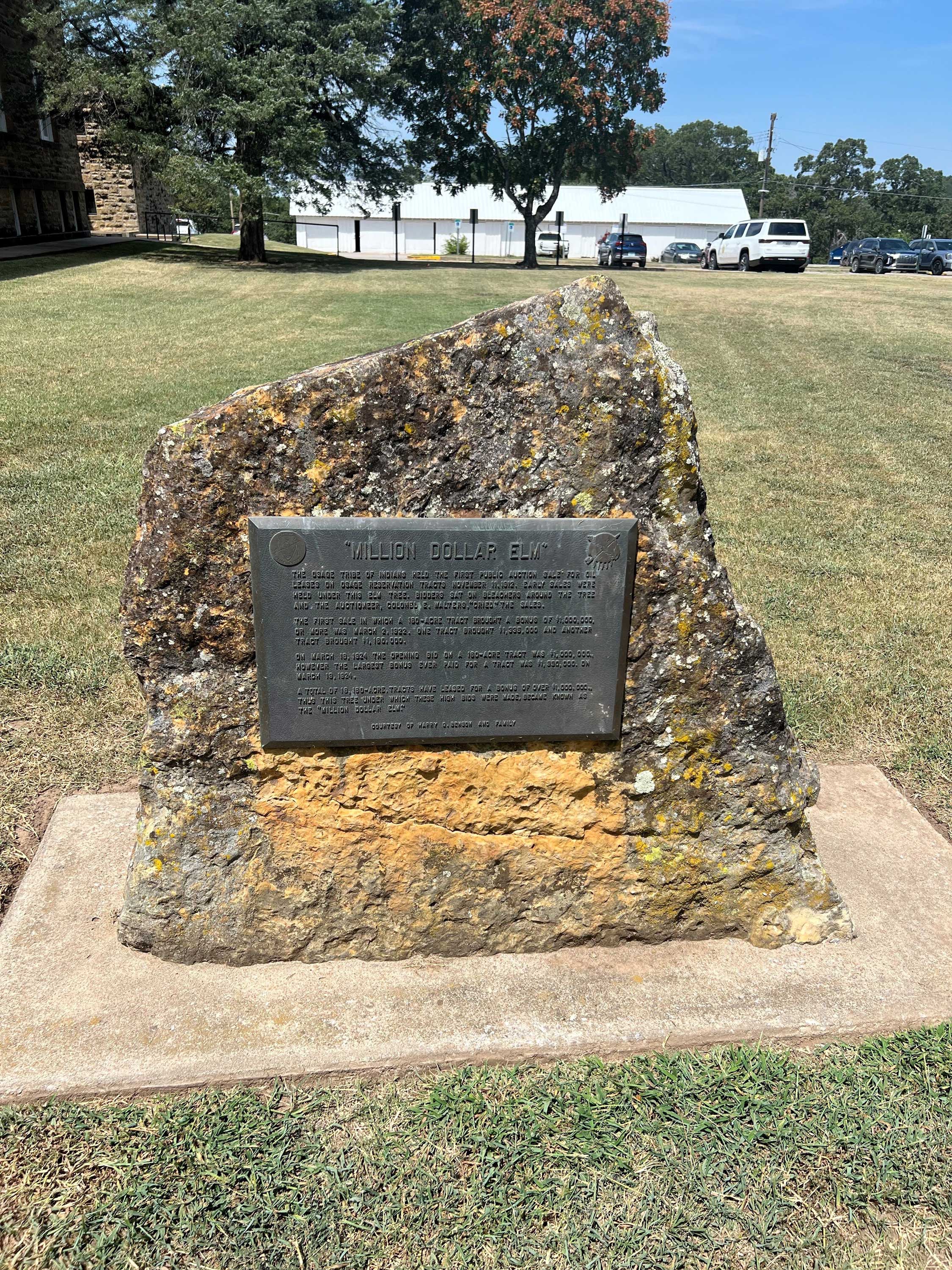
View image
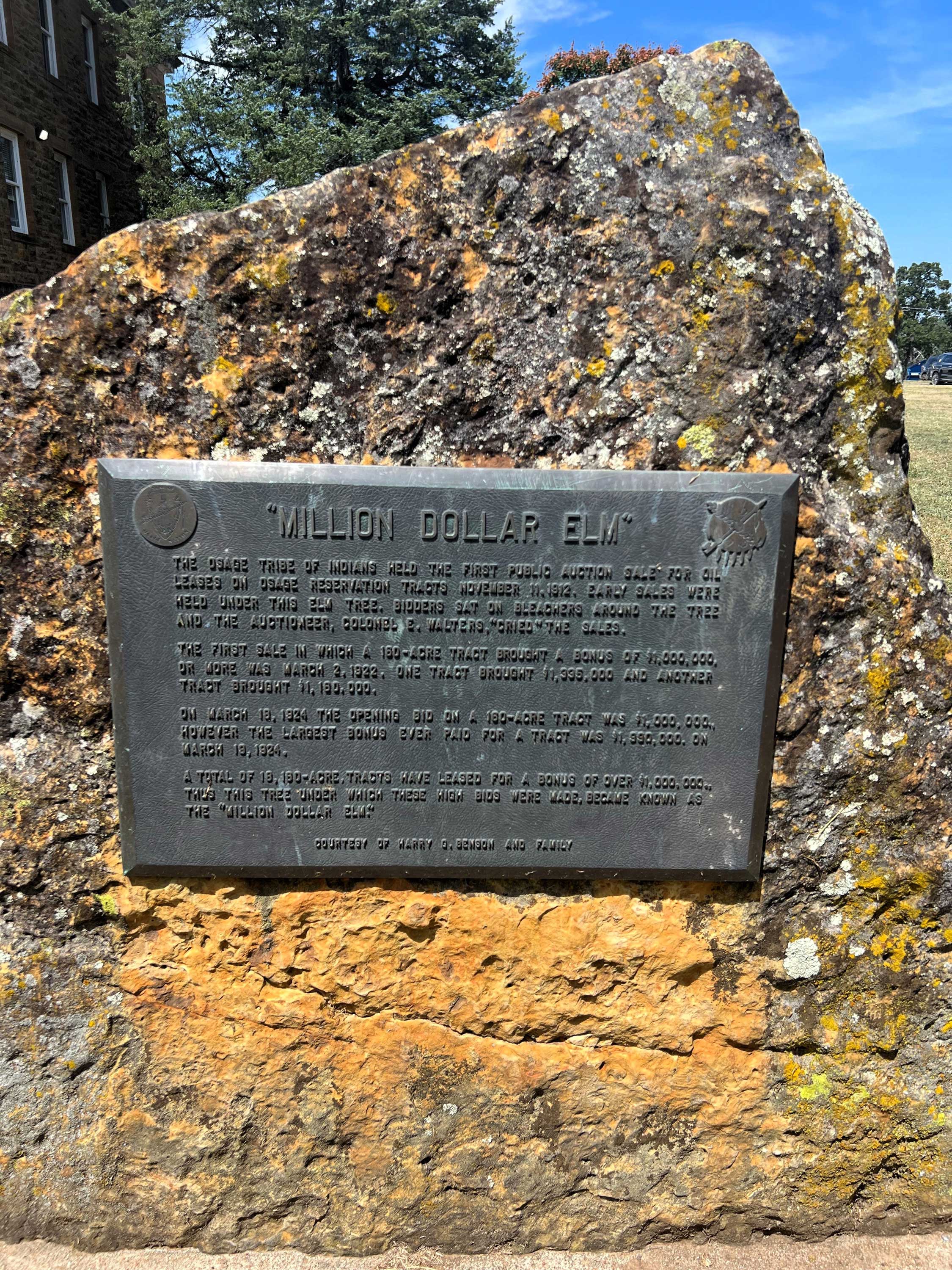
View image
Modoc Cemetery
Ottawa CountyLocation: 1/4 mile south of Hwy 10C in Ottawa
Topics: American Indians; Government; Settlement Patterns; Social/Cultural
All that remains of the original 4,000-acre Modoc Reservation is this 4 1/2 acre cemetery, the final resting place of Scarfaced Charley, Shacknasty Jim, James Long, Long George, and other leaders of California's Modoc War. Fought over 100 years ago in lava beds near Tulelake, California, this full-scale military campaign against "Captain Jack" and his band is famous in annals of Indian Wars. Today, the rolls of the vanishing Modoc contain only fifty-two descendants of those who peacefully exiled to the Quapaw Agency as prisoners-of-war in November 1873.
Montford Stokes
Muskogee CountyLocation: in Fort Gibson
Sponsor(s): Daughters of the American Revolution
Topics: American Indians; Empire Period, 1541–1803; Government; Military; Westward Expansion, 1803–1861
A former governor of North Carolina and an Indian agency, Montford Stokes died at Fort Gibson in 1842, the only Revolutionary War soldier buried in Oklahoma.
Monument Hill (Indian Trail Marker; Chief White Eagle Monument)
Noble CountyLocation: on OK-156, north of Marland
Coordinates: 36.569482, -97.144809
Material: Other (Stone)
Sponsor(s): 101 Ranch
Topics: Agriculture; American Indians; Early Statehood, 1907–1941; Ranching; Territorial Period, 1861–1907
Dedicated in 1927 and constructed by the 101 Ranch, this stone monument is dedicated to Ponca Chief White Eagle. Once the site of an ancient trail marker that served as one of several guideposts for various tribes traveling through the area during seasonal migration and hunting trips. The stone cairn is fourteen feet tall, five feet in diameter, and capped by a 200-pound concrete white eagle. A small cemetery is on site and includes the grave of Black cowboy Bill Pickett.
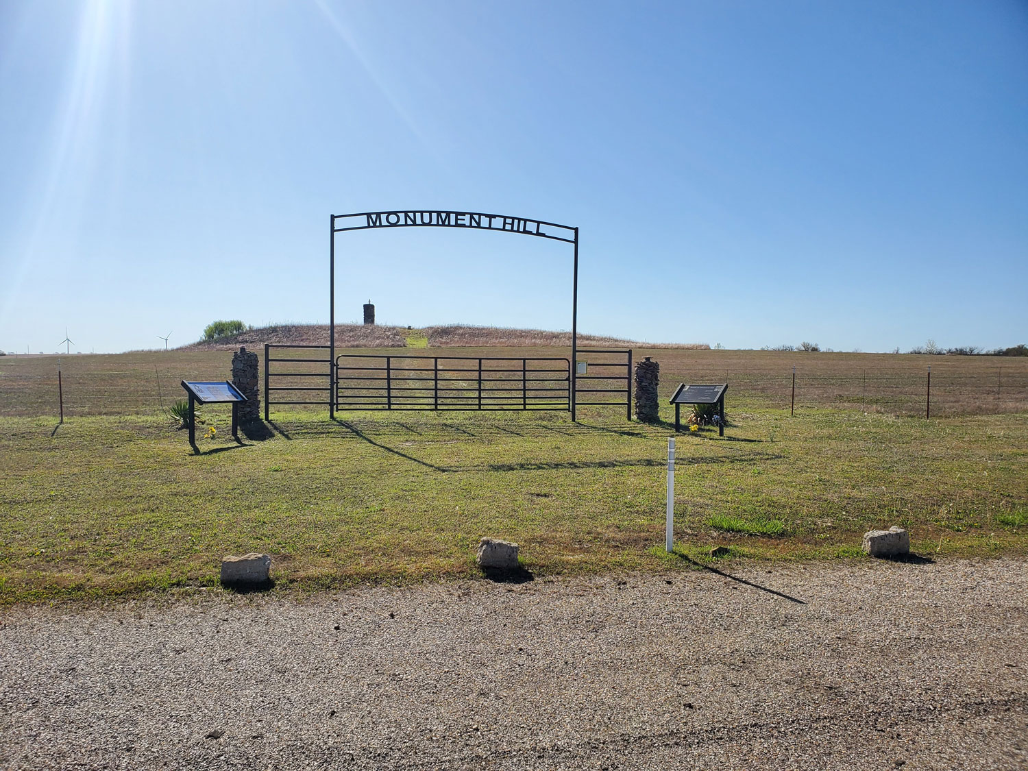
View image
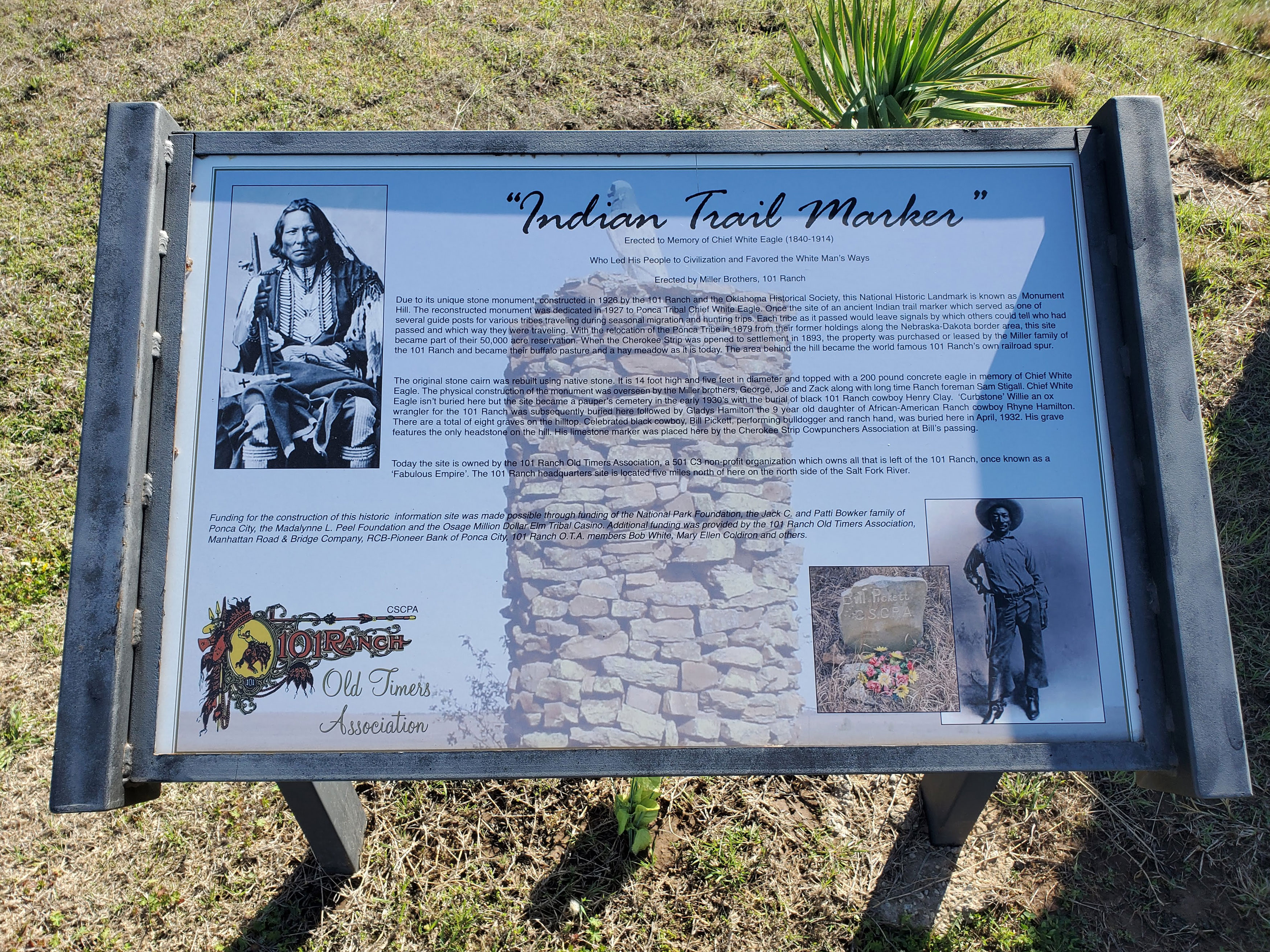
View image
Moravian Mission Cemetery
Delaware CountyLocation: New Springplace Mission (Oaks Cemetery) near Oaks
Coordinates: 36.162340, -94.862731
Material: Unknown
Sponsor(s): Unknown
Topics: American Indians; Religion/Philosophy; Westward Expansion, 1803–1861
Established as a Cherokee mission in 1842 by the Moravian Church, the institution was an outgrowth of a similar mission in Georgia, which was begun in 1802. Closed during the Civil War, the mission reopened afterward and continued to operate until 1902, when it was transferred to the Danish Lutheran Church. Only the walled spring and the gravestones of the cemetery, where many of the early missionaries were buried, remain.
Note: This marker could not be located and is presumed to no longer exist.
Mountain Station
Latimer CountyLocation: on the west side of road at Mountain Station Cemetery, approximately 13 miles southwest of Wilburton
Coordinates: 34.836526, -95.424659
Material: Other (Concrete with bronze plaque)
Sponsor(s): Oklahoma Historical Society
Topics: American Indians; Transportation; Westward Expansion, 1803–1861
In 1857, Congress created the Butterfield Overland Mail Route to carry mail and passengers between St. Louis, Missouri, and Memphis, Tennessee, and points west. It was the first real transcontinental link between the Atlantic states and the Pacific Coast of the United States. There were twelve stations along a 197-mile route in Oklahoma. This marker commemorates Mountain Station. A stage stand for changing horses and a toll road over the pass was established here under Choctaw law in 1866. The toll road followed the Butterfield Overland Mail Route.
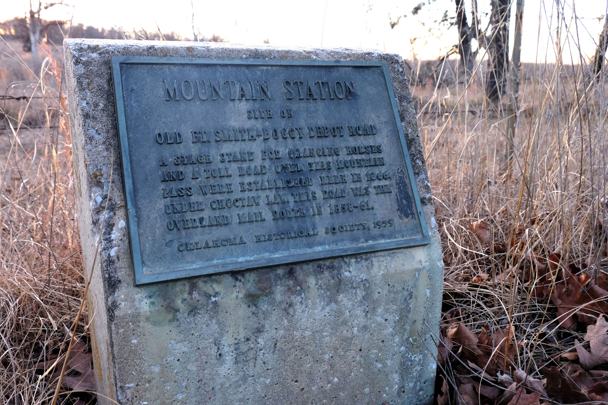
View image
Muriel H. Wright
Atoka CountyLocation: on grounds of Boggy Depot Cemetery in Boggy Depot Park
Coordinates: 34.322390, -96.312879
Material: Granite
Sponsor(s): Descendants of Allen Wright and the Oklahoma Historical Society
Topics: American Indians; Early Statehood, 1907–1941; Education; Industrial Period, 1941–1982; Social/Culture
Muriel Hazel Wright was born in Lehigh, Choctaw Nation, in 1889. Her grandfather, Allen Wright, was Chief of the Choctaw Nation from 1866 to 1870. During her forty-seven years with the Oklahoma Historical Society she held many positions including editor of The Chronicles of Oklahoma from 1955 to 1973. Other works include Oklahoma: A History of the State and Its People, The Story Of Oklahoma, Our Oklahoma, A Guide to the Indian Tribes of Oklahoma, The Oklahoma History, and Civil War Sites in Oklahoma. Muriel’s honors and awards include Oklahoma Hall of Fame, Hall of Fame of Famous American Indians, Oklahoma Historical Society Historians Hall of Fame, The University of Oklahoma Distinguished Service Citation, and Honorary Doctorate from Oklahoma State University
Note: This marker is not associated with Muriel Wright’s gravesite, which is in Oklahoma City.
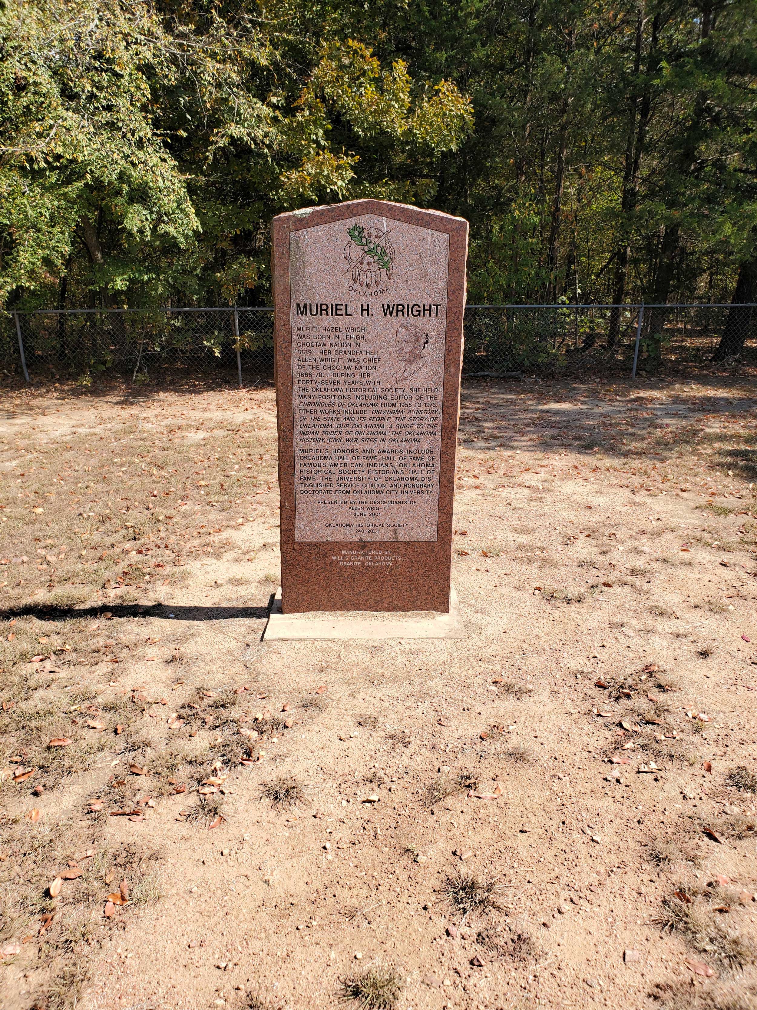
View image
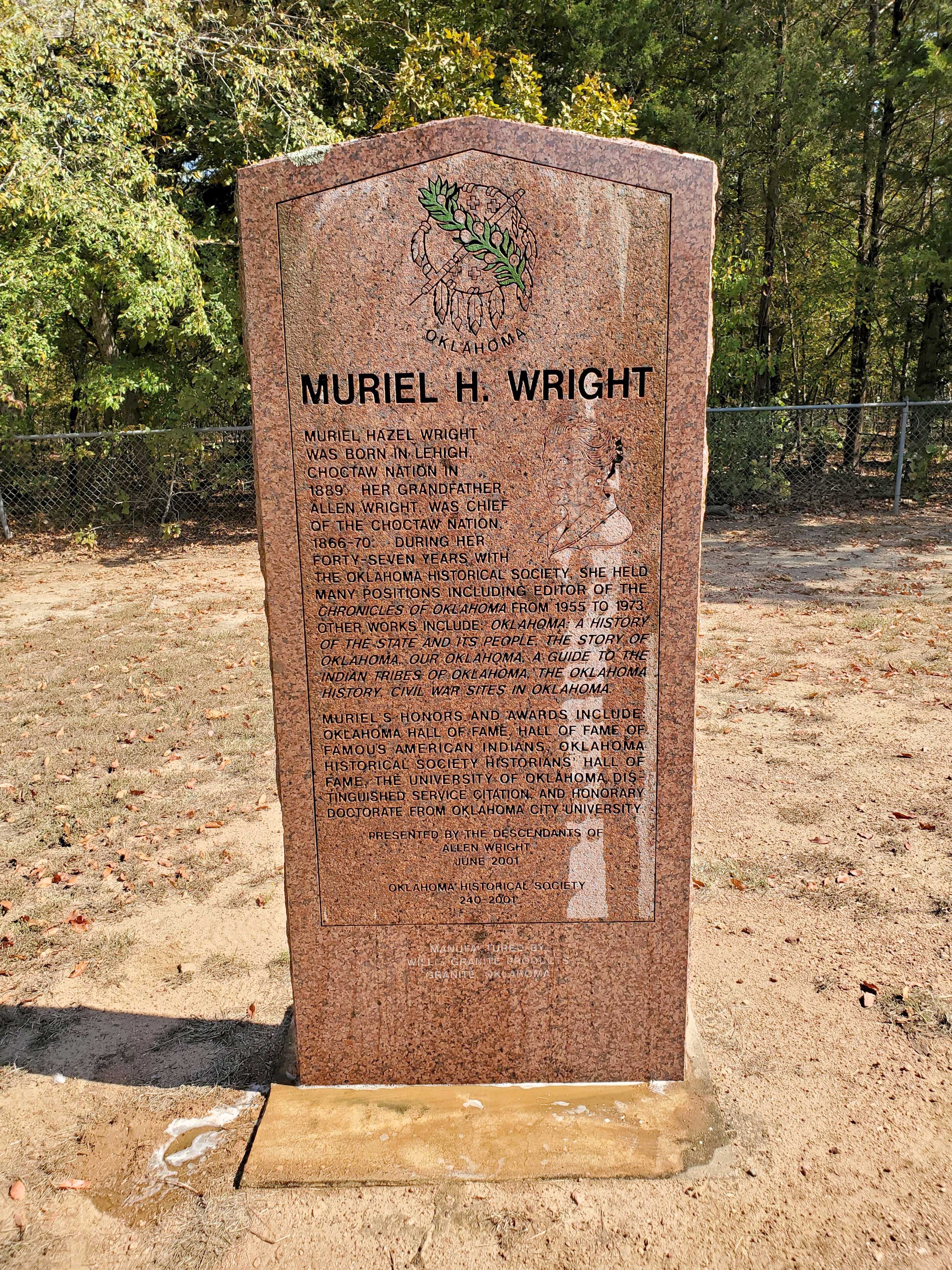
View image
New Springplace
Delaware CountyLocation: at junction of OK-412A and US-412A, three miles north of Oaks
Coordinates: 36.205322, -94.851555
Material: Granite
Sponsor(s): Oklahoma Historical Society and the Oklahoma Department of Transportation
Topics: American Indians; Religion/Philosophy; Westward Expansion, 1803–1861
Established as a Cherokee mission in 1842 by the Moravian Church, the institution was an outgrowth of a similar mission in Georgia, which was begun in 1802. Closed during the Civil War, the mission reopened afterward and continued to operate until 1902, when it was transferred to the Danish Lutheran Church. Prominent Cherokee families such as Adair, Fields, Ridge, Vann, and Watie attended the mission.
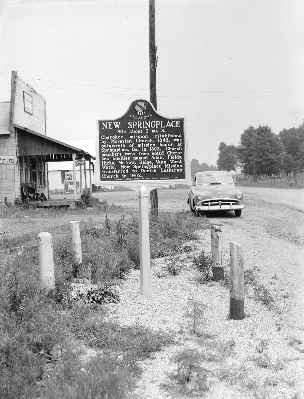
View image
Norge, Oklahoma
Grady CountyLocation: on Highway 92, Norge, where the 98th meridian intersects the highway
Topics: American Indians; Ethnic Diversity; Urban Development
Norge, formerly Allie, is located on the 98th meridian, separating the old Chickasaw Nation to the east and the Kiowa, Comanch,e and Apache Reserve to the west. The town received its name from a Norwegian settlement in the area. Situated on a high plain not far from the Keechi Hills, Norge is four miles southwest of Chickasha.
North Fork Town
McIntosh CountyLocation: at the intersection of Elm and Main Streets in Eufaula
Coordinates: 35.290390, -95.582318
Material: Aluminum
Sponsor(s): City of Eufaula and the Oklahoma Historical Society
Topics: American Indians; Military; Westward Expansion, 1803–1861
Important center of Texas Road in Creek Nation, from 1836. Post office established at Micco, 1853. Albert Pike secured treaties for Confederate States, signed here, 1861, by Choctaw, Chickasaw, and Creek Nations., Asbury School approved by Creek Council and supervised by Methodist Board established near here, 1848.
Note: This marker is missing.
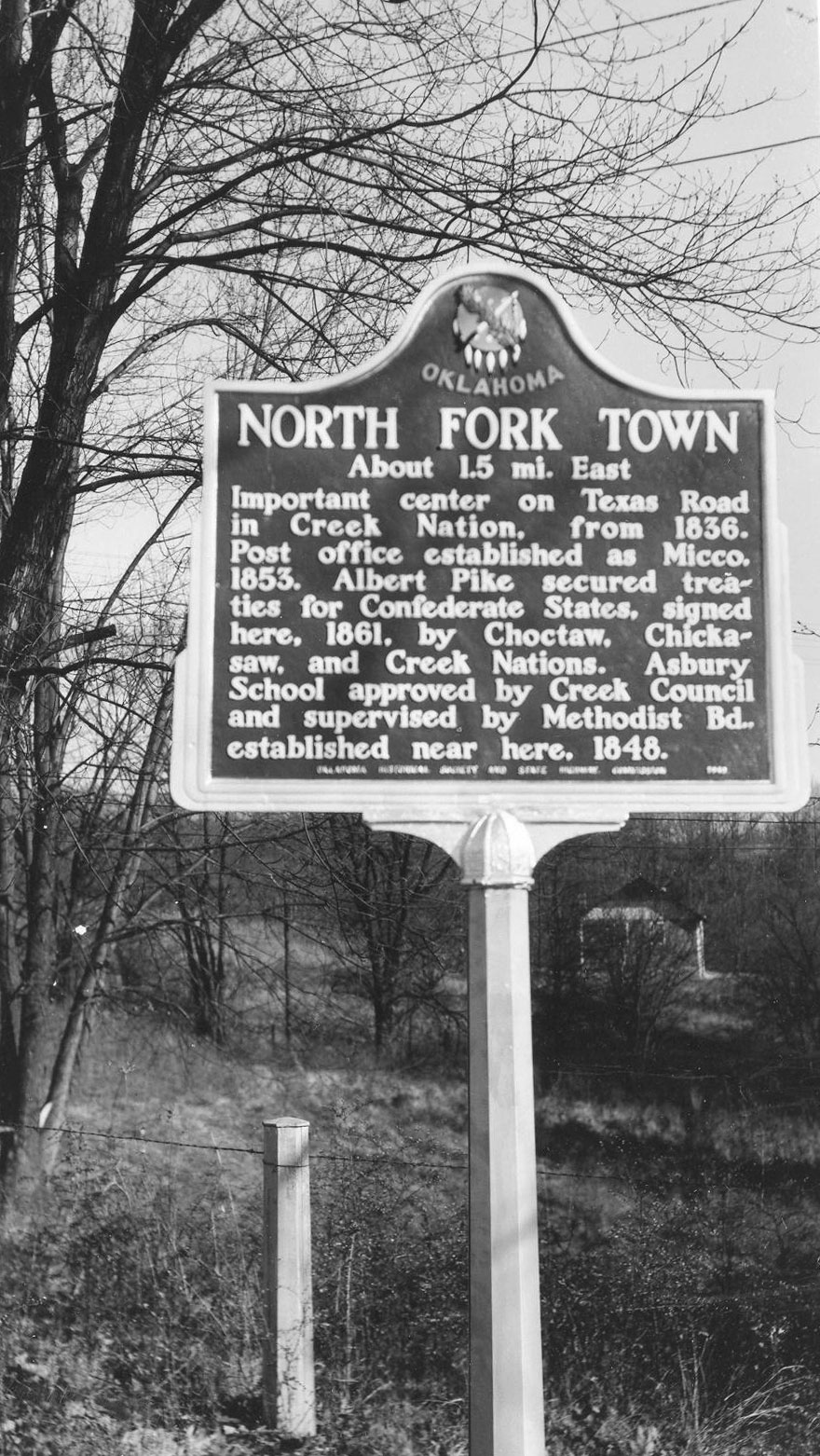
View image
Nuyaka Mission
Okmulgee CountyLocation: on OK-56, nine miles west of Okmulgee
Coordinates: 35.624754, -96.149639
Material: Granite
Sponsor(s): Oklahoma Historical Society and the Oklahoma Department of Transportation
Topics: American Indians; Education; Government; Territorial Period, 1861–1907
Nuyaka Mission was founded by the Presbyterian Board and the Muscogee (Creek) Nation in 1882 through the efforts of educator Alice Robertson, who also served as Oklahoma’s first female member of Congress. Augusta Robertson Moore was the first superintendent of the mission school. Nuyaka Town, located nearby, was the site of political violence and unrest during the Green Peach War of 1882.
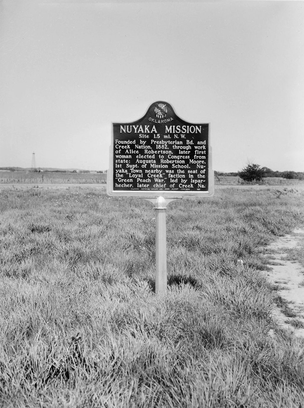
View image

View image
Oil in the Osage Indian Nation and the “Million Dollar Elm”
Osage CountyLocation: on grounds of the Osage Nation Museum in Pawhuska
Coordinates: 36.667616, -96.339443
Material: Granite
Sponsor(s): Oklahoma Historical Society and Oklahoma Petroleum Council
Topics: American Indians; Early Statehood, 1907–1941; Folklife; Industrial Period, 1941–1982; Natural Resources; Petroleum; Social/Cultural; Territorial Period, 1861–1907
Symbolic of the impact oil had on the people of the Osage Indian Nation is the so-called “Million Dollar Elm.” It was given this name because in its shade millions of dollars worth of Osage oil leases were auctioned. It was planted at this site sometime during the latter part of the 19th century as an ornament and for shade. The name was not given by tribal leaders but by reporters and magazine writers who were dramatizing the events when important heads and founders of the world's greatest oil companies came in person to bid. The auctioneer himself, the histrionic Colonel Walters, became famous because of his success in getting top bids. The drilling of the first well in the Osage Nation occurred in 1897. The first tract to bring one million dollars or more was acquired in March 1922. On March 29, 1924, Midland Oil Company bid almost two million dollars for a tract. By November 1969, Osage lands had produced one billion barrels of oil.

View image
View image
Oklahoma the Indian State
Kay CountyLocation: on US-77 at the Oklahoma-Kansas border
Coordinates: 36.998402, -97.045787
Material: Granite
Sponsor(s): Oklahoma Historical Society
Topics: American Indians; Government; Westward Expansion, 1803–1861
Land in this area was granted to the Cherokee by the United States in 1828. The Cherokee Outlet opened to white settlement in 1893. The allotment of Charles Curtis (Kaw) was located on the Kaw Nation reservation east of this marker. Curtis served as vice president of the United States from 1929 to 1933.
Note: Marker text incorrectly notes Curtis's tenure as vice president.
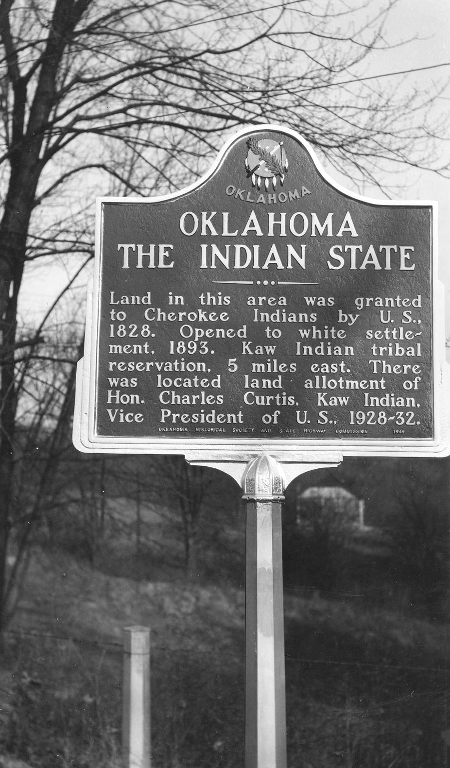
View image
Oklahoma’s Pioneer Oil City
Cleveland CountyTopics: American Indians; Land Openings; Petroleum; Territorial Period, 1861–1907
On July 2, 1904, the Lowery #1 came in just south of Cleveland, opening the Cleveland Sand and creating Oklahoma's first oil boom town. Here also was Jordan's Fort, built in 1886 by Colonel J. W. Jordan, Cherokee agent and deputy US marshal, to keep Boomers out of the Cherokee Outlet.
Old Spencer Academy
Choctaw CountyLocation: on grounds of old Spencer Academy, 8 miles north of Sawyer
Coordinates: 34.145919, -95.357897
Material: Granite
Sponsor(s): Oklahoma Historical Society
Topics: American Indians; Arts; Education; Ethnic Diversity; Westward Expansion, 1803–1861
Spencer Academy opened at this location in January 1844. This noted school for Choctaw boys, established by the Choctaw Council, was named for John C. Pencer, US Secretary of War. Subjects through high school were taught. The first graduates went to eastern colleges in 1848. Large buildings were erected in a quadrangle here including Jones Hall, Pitchlynn Hall, Armstrong Hall, a school building and dining hall, with houses for employees, storehouses and barns adjacent. It was here that the spirituals “Steal Away to Jesus,” “Roll, Jordon Roll,” and “Swing Low, Sweet Chariot” were composed. “Uncle” Wallis and “Aunt” Minerva Willis, spiritual composers, were enslaved in the Choctaw Nation and hired out by their owner to work for school superintendent Rev. Alexander Reid. Also see “Spencer Academy.”
Note: This marker incorrectly identifies Wallace and Minerva Willis as husband and wife when, in fact, they were father and daughter.
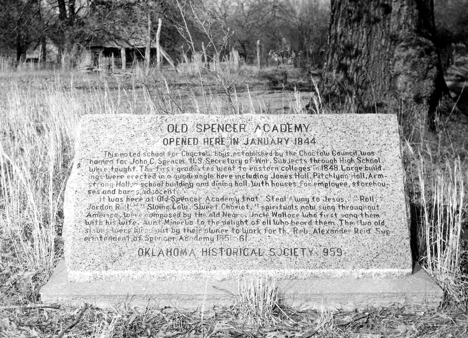
View image
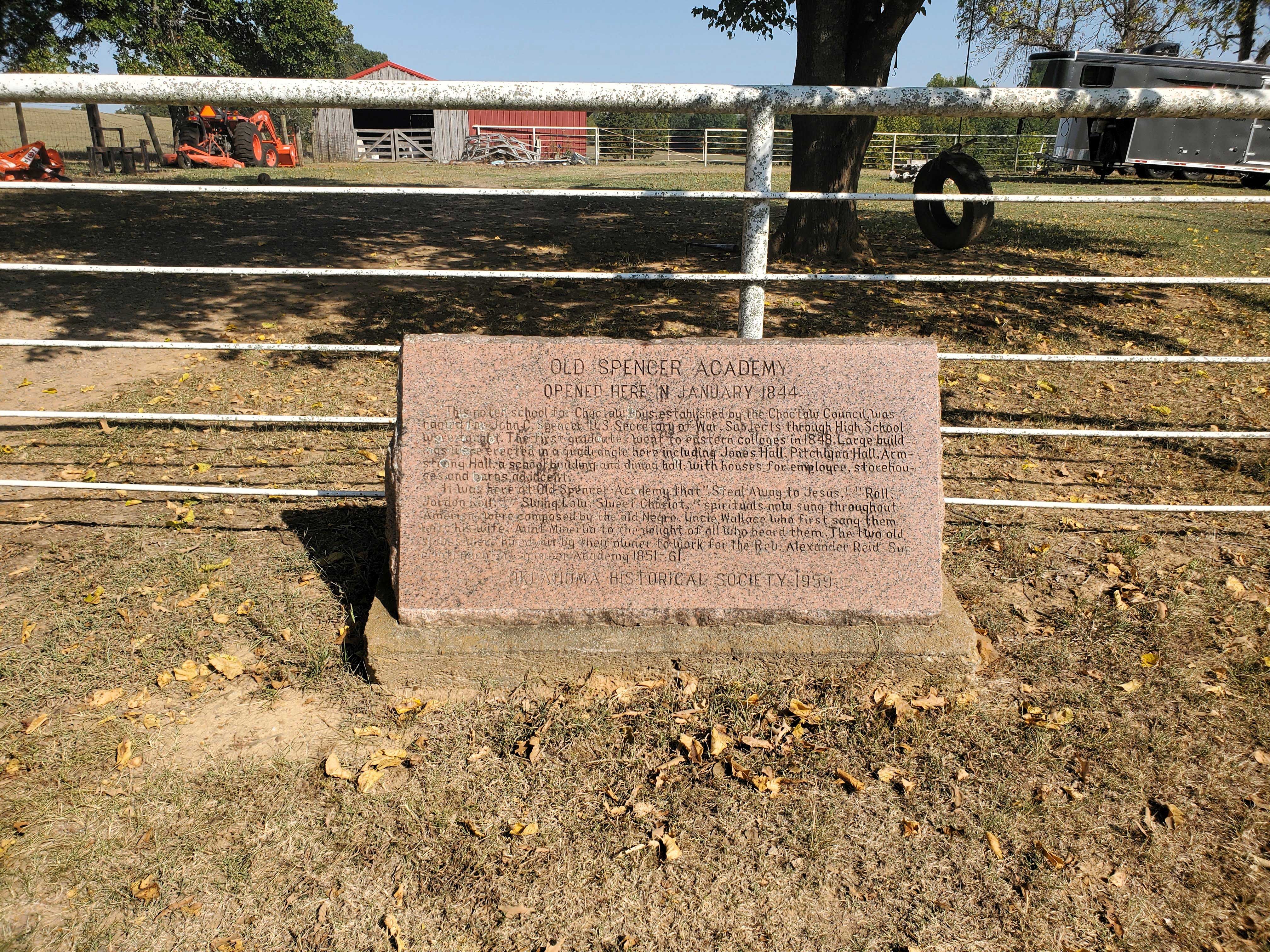
View image
Old Stone Corral
Comanche CountyLocation: at the Fort Sill Museum
Sponsor(s): Daughters of the American Revolution
Topics: American Indians; Ethnic Diversity; Military; Territorial Period, 1861–1907; Transportation
Known originally as the Quartermaster Corral, this structure, which replaced an earlier wooden corral, is located southeast of the original post quadrangle near Key Gate. The 10th Cavalry constructed the corral in 1870 to hold the horses, oxen, and mules used by the quartermaster for transport of men and supplies and for jobs such as road building. After 1875 the army used the corral for temporary incarceration of Plains Indians. In the 1880s, as boomers tried to enter and settle in the Indian Territory, the military rounded up and held the illegal settlers in the corral until the party was large enough to warrant military escort out of the area.
Original Townsite of Mannford
Creek CountyLocation: east site of SH-48, north the 48/51 junction at the turnoff into old Mannford Ramp Park
Topics: American Indians; Settlement Patterns; Transportation
The original townsite of Mannford began 1/4 mile east of the creek headrights of Tom and Hazel Mann. The town was named for Mann's Ford across the Cimarron River in 1895. G. M. Evans leased this ninety acres and surrounding land. The Arkansas Valley and Western Railway (AV&W RR/Frisco) came in 1902, and a post office was established on April 11, 1903. Hall C. Miller bought the ninety acres for the townsite on February 21, 1906. The townsite was relocated in 1962–63 due to the Keystone Dam.
Marker Search
Use quotation marks to search for an exact phrase.
Browse by County
Adair County
Alfalfa County
Atoka County
Beaver County
Beckham County
Blaine County
Bryan County
Caddo County
Canadian County
Carter County
Cherokee County
Choctaw County
Cimarron County
Cleveland County
Comanche County
Cotton County
Craig County
Creek County
Custer County
Delaware County
Dewey County
Ellis County
Garfield County
Garvin County
Grady County
Grant County
Greer County
Harmon County
Harper County
Haskell County
Hughes County
Jackson County
Jefferson County
Johnston County
Kay County
Kingfisher County
Kiowa County
Latimer County
Le Flore County
Lincoln County
Logan County
Love County
Major County
Marshall County
Mayes County
McClain County
McCurtain County
McIntosh County
Murray County
Muskogee County
Noble County
Nowata County
Okfuskee County
Oklahoma County
Okmulgee County
Osage County
Ottawa County
Pawnee County
Payne County
Pittsburg County
Pontotoc County
Pottawatomie County
Pushmataha County
Roger Mills County
Rogers County
Seminole County
Sequoyah County
Stephens County
Texas County
Tillman County
Tulsa County
Wagoner County
Washington County
Washita County
Woods County
Woodward County
Alfalfa County
Atoka County
Beaver County
Beckham County
Blaine County
Bryan County
Caddo County
Canadian County
Carter County
Cherokee County
Choctaw County
Cimarron County
Cleveland County
Comanche County
Cotton County
Craig County
Creek County
Custer County
Delaware County
Dewey County
Ellis County
Garfield County
Garvin County
Grady County
Grant County
Greer County
Harmon County
Harper County
Haskell County
Hughes County
Jackson County
Jefferson County
Johnston County
Kay County
Kingfisher County
Kiowa County
Latimer County
Le Flore County
Lincoln County
Logan County
Love County
Major County
Marshall County
Mayes County
McClain County
McCurtain County
McIntosh County
Murray County
Muskogee County
Noble County
Nowata County
Okfuskee County
Oklahoma County
Okmulgee County
Osage County
Ottawa County
Pawnee County
Payne County
Pittsburg County
Pontotoc County
Pottawatomie County
Pushmataha County
Roger Mills County
Rogers County
Seminole County
Sequoyah County
Stephens County
Texas County
Tillman County
Tulsa County
Wagoner County
Washington County
Washita County
Woods County
Woodward County
To find out more about the Oklahoma Historical Society Historical Marker Program or how to submit an application, please visit the Historical Marker Program page.
Missing or Damaged Markers
Please use our online form to report missing or damaged historical markers.
Report Missing or Damaged Markers
Contact Us
If you have questions, please contact:
Matthew Pearce
Oklahoma Historical Society
800 Nazih Zuhdi Drive
Oklahoma City, OK 73105
405-522-8659
[email protected]
